Old Maps of Black Bear, Oklahoma for Genealogy
Trace your family roots with 9 historic maps of Black Bear. These high-res maps reveal old neighborhoods, homesites, landmarks, and streets — helping you uncover where your ancestors lived and how the area evolved over time.
- Explore historic neighborhoods: Identify where your relatives may have lived in the 1800s or 1900s.
- Compare maps over time: Trace the changes in streets, buildings, and landmarks for multi-generational research.
- Perfect for genealogy & ancestry research: Used by family historians and researchers to map out lineage and migration.
These maps are an incredible resource for exploring your personal connection to Black Bear's past.
Black Bear, OK maps
(9)- 1955 Map of Enid, 1966 Print
 1955 Enid1966 Print · USGSNorth-central Oklahoma's transition from open plains to the blackjack hills of the Osage Indian Reservation is captured in the mid-1950s. Researchers can trace the development of the Naval Reserve Oil Field, the grounds of Vance AFB, and the early footprints of Tulsa and Stillwater.4 unique versions available
 - 1958 Map of Enid
 1958 Enid1958 Print · USGSNorthern Oklahoma is mapped here in the late fifties, showcasing a dense network of petroleum production and historic tribal lands. Researchers can trace the legacy of the Osage Indian Reservation, early energy hubs like the Cushing Oil Field, and the Chilocco Indian Agricultural School.2 unique versions available
 - 1972 Map of Black Bear, 1974 Print
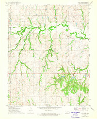 1972 Black Bear1974 Print · USGSThe rural landscape of Noble County in the early seventies shows a community built on the intersection of major rail lines and local industry. Researchers can trace family history through Zion Cem and Richburg Cem, or locate mid-century infrastructure like oil wells and the Water Tank.2 unique versions available
 - 1990 Map of Enid
 1990 Enid1990 Print · USGSNorth-central Oklahoma's aviation and energy hubs are captured in the 1990s, from the streets of Stillwater to the runways of Vance Air Force Base. Researchers can locate active Oil and Gas Fields and trace local waterways like Skeleton Creek and Black Bear Creek.
 - 2009 Map of Black Bear, 2009 Print
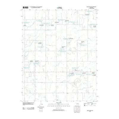 2009 Black Bear2009 Print · USGSCovers Black Bear, including McMahon, Drace, and other nearby areas
 - 2012 Map of Black Bear, 2012 Print
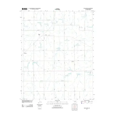 2012 Black Bear2012 Print · USGSCovers Black Bear, including McMahon, Drace, and other nearby areas
 - 2016 Map of Black Bear, 2016 Print
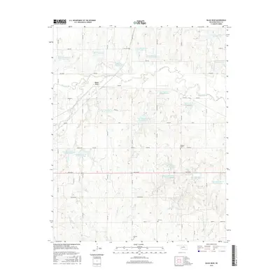 2016 Black Bear2016 Print · USGSCovers Black Bear, including McMahon, Drace, and other nearby areas
 - 2018 Map of Black Bear, 2018 Print
 2018 Black Bear2018 Print · USGSCovers Black Bear, including McMahon, Drace, and other nearby areas
 - 2022 Map of Black Bear, 2022 Print
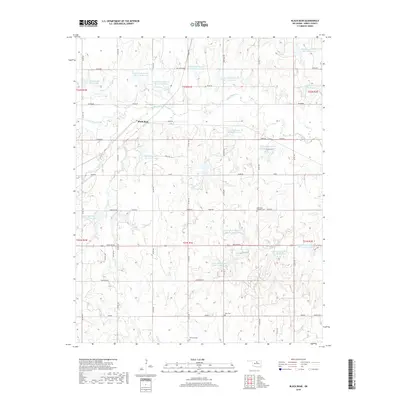
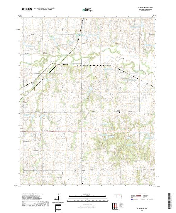 2022 Black Bear2022 Print · USGSNoble County in the early 2020s shows a landscape of prairie agriculture and extensive water management systems. Genealogists can locate Bohemian Catholic Cem and Zion Cem among family-named roads like John Wayne and Old John Deere.
End of results
Showing maps 1-9 of 9
Top cities near Black Bear
- Stillwater historical maps
- Perry historical maps
- Morrison historical maps
- Billings historical maps
- Red Rock historical maps
- Marland historical maps
Frequently asked questions
- What are the different types of historical maps available for Black Bear?
- What is the oldest map of Black Bear?
- Where can I purchase historical maps of Black Bear for my home or office?
- Where can I download high-res historical maps of Black Bear?
- Are there historical topographic maps available for Black Bear?
- Is there historical aerial imagery available for Black Bear?
- Where are historical maps of Black Bear sourced from?