2000s (21st Century) Maps of IXL, Oklahoma
Explore 10 historic maps of IXL from the 2000s (21st Century). These maps offer a rare glimpse into what life looked like during the 2000s — showing old roads, neighborhoods, homes, and landmarks that have changed or disappeared over time.
Whether you're researching your family's past, planning a metal detecting trip, or studying how IXL's landscape evolved across the 2000s, these high-resolution maps are a powerful tool for exploring the history of this region.
- Focus on a specific era: All maps on this page are from the 2000s, giving you a focused view of this time period.
- See what’s changed: Compare century-old streets, trails, and buildings to today's modern landscape using overlays and satellite layers.
- Research with precision: Use these maps for genealogy, historical research, land use analysis, or educational projects.
- View, download, or print: Maps are fully viewable online in high resolution, and can be downloaded or printed for your own records.
Start exploring IXL's history through authentic maps from the 2000s. This is your window into the past.
IXL, OK maps
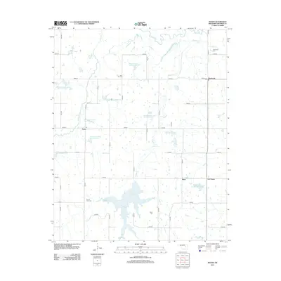
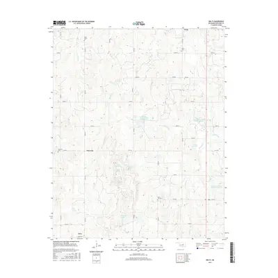
(10)- 2010 Map of Mason, 2010 Print
 2010 Mason2010 Print · USGSCovers IXL, including Haydenville, Mason, and other nearby areas
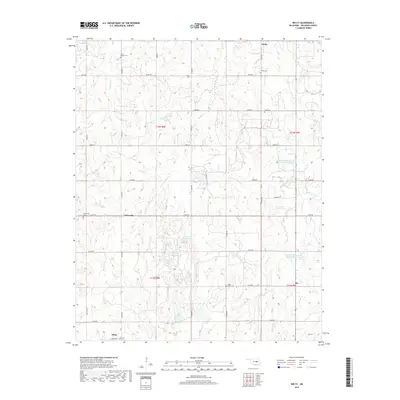
 - 2010 Map of Welty, 2010 Print
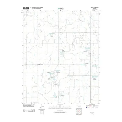 2010 Welty2010 Print · USGSCovers IXL, including Boley, Chilesville, and other nearby areas
 - 2012 Map of Mason, 2012 Print
 2012 Mason2012 Print · USGSCovers IXL, including Haydenville, Mason, and other nearby areas
 - 2012 Map of Welty, 2012 Print
 2012 Welty2012 Print · USGSCovers IXL, including Boley, Chilesville, and other nearby areas
 - 2016 Map of Mason, 2016 Print
 2016 Mason2016 Print · USGSCovers IXL, including Haydenville, Mason, and other nearby areas
 - 2016 Map of Welty, 2016 Print
 2016 Welty2016 Print · USGSCovers IXL, including Boley, Chilesville, and other nearby areas
 - 2018 Map of Mason, 2018 Print
 2018 Mason2018 Print · USGSCovers IXL, including Haydenville, Mason, and other nearby areas
 - 2018 Map of Welty, 2018 Print
 2018 Welty2018 Print · USGSCovers IXL, including Boley, Chilesville, and other nearby areas
 - 2022 Map of Welty, 2022 Print
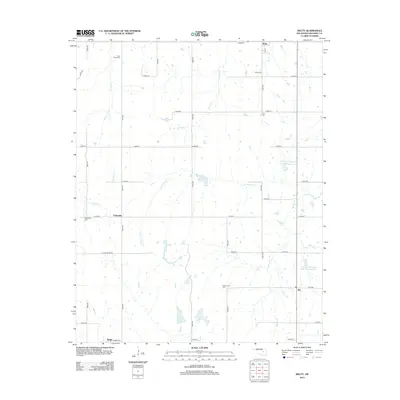
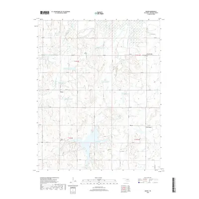
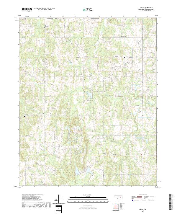 2022 Welty2022 Print · USGSOkfuskee County at the start of the 2020s shows a landscape defined by traditional section roads and local heritage sites. Genealogists and researchers can trace family roots through several landmarks like Grant Chapel Cem, Chilesville, and IXL.
 - 2022 Map of Mason, 2022 Print
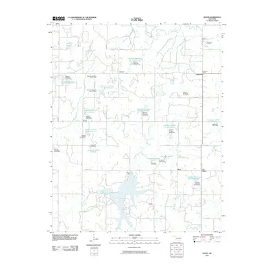
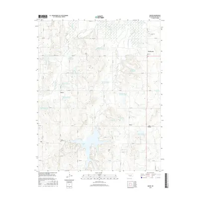
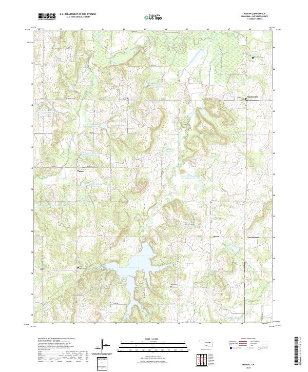 2022 Mason2022 Print · USGSThis part of Okfuskee County remains a landscape defined by water management and rural hamlets in the early twenty-first century. Genealogists and local historians can trace family sites at White Rose Cem or Morse Cem, and explore the shoreline of Okemah Lake.
End of results
Showing maps 1-10 of 10
Top cities near IXL
- Okemah historical maps
- Boley historical maps
- Paden historical maps
- Cromwell historical maps
- Bearden historical maps
- Castle historical maps
See more
Frequently asked questions
- What are the different types of historical maps available for IXL?
- What is the oldest map of IXL?
- Where can I purchase historical maps of IXL for my home or office?
- Where can I download high-res historical maps of IXL?
- Are there historical topographic maps available for IXL?
- Is there historical aerial imagery available for IXL?
- Where are historical maps of IXL sourced from?