Old Maps of Deer Creek Farms, Oklahoma
Explore 18 old maps of Deer Creek Farms, spanning from 1892 to today. These high-resolution historic maps reveal how streets, neighborhoods, landmarks, and natural features evolved over time — perfect for genealogy, metal detecting, research, and local history exploration.
What you can do with these maps:
- See how Deer Creek Farms changed over time: Compare historical maps to modern-day views to trace roads, homesites, rail lines & more.
- View detailed metadata: Each map includes creators, publishers, year, scale, and archive source.
- Overlay maps with satellite & LiDAR: Visualize the past alongside modern tools to explore terrain & human change.
- Trusted historical sources: Maps sourced from the USGS, Library of Congress, and other archives.
- Access maps your way: View online, download high-res files, or order prints for personal or research use.
Start exploring old maps of Deer Creek Farms to uncover forgotten places, hidden landmarks, and the deep history beneath your feet.
Deer Creek Farms, OK maps
(18)- 1892 Map of Kingfisher, 1957 Print
 1892 Kingfisher1957 Print · USGSOklahoma Territory was in a state of rapid transition during the 1890s as railroads and cattle trails shared the same landscape. Researchers can trace the original Chisholm Trail alongside early settlements like Mathewson and river crossings such as Kirby Ford.
 - 1895 Map of Kingfisher
 1895 Kingfisher1895 Print · USGSOklahoma Territory during the mid-1890s reveals a rapidly developing frontier defined by river crossings and expanding rail lines. Genealogists and historians can trace the early foundations of Kingfisher, Elreno, and Yukon alongside historic river crossings like Gould Ford.4 unique versions available
 - 1954 Map of Oklahoma City
 1954 Oklahoma City1954 Print · USGSOklahoma City and its surrounding counties are captured here in the early fifties during a period of significant postwar growth. Researchers can trace the development of the Turner Turnpike and locate aviation hubs like Tinker Field or Will Rogers Field.
 - 1957 Map of Oklahoma City, 1969 Print
 1957 Oklahoma City1969 Print · USGSCentral Oklahoma is captured here in a period of significant mid-century growth and industrialization. Researchers can trace family roots through numerous rural markers like Memory Lane Cem, New Hope School, and the sprawling grounds of Tinker Air Force Base.3 unique versions available
 - 1963 Map of Oklahoma City
 1963 Oklahoma City1963 Print · USGSCentral Oklahoma in the early sixties showcases a landscape of rapid suburban growth and established oil production. Researchers can trace historic rail lines like the Chicago Rock Island and Pacific RR or locate rural landmarks such as Mayflower School and Bethel Church.
 - 1966 Map of Bethany NE, 1967 Print
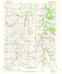 1966 Bethany NE1967 Print · USGSOklahoma and Logan counties were in the midst of a suburban transition during the mid-sixties as municipal boundaries expanded. Local historians and genealogists can trace the rural roots of the area through landmarks like Christner Cem, Deer Creek Sch, and the Higbee Community Hall.3 unique versions available
 - 1966 Map of Piedmont, 1967 Print
 1966 Piedmont1967 Print · USGSMid-century Piedmont and its surrounding rural townships appear here during a period of urban expansion and petroleum development. Researchers can find old family cemeteries like Kansas Cem, trace the Old Railroad Grade, and locate the early infrastructure of the West Edmond Oil and Gas Field.3 unique versions available
 - 1990 Map of Oklahoma City North
 1990 Oklahoma City North1990 Print · USGSOklahoma City and its northern reaches are captured in the 1990s as suburban growth stretched toward the Cimarron River. Genealogists and historians can trace rail-town legacies along the Atchison Topeka and Santa Fe Railroad and find landmarks like the El Reno Federal Reformatory.
 - 2009 Map of Bethany NE, 2009 Print
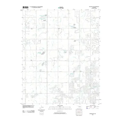 2009 Bethany NE2009 Print · USGSOklahoma City's northern fringe at the close of the 2000s shows a fascinating mix of suburban expansion and rural tradition. Genealogists and local historians can locate legacy sites like Christner Cemetery and Whistler Cemetery or trace the early development near Wakefield Strip.
 - 2009 Map of Piedmont, 2009 Print
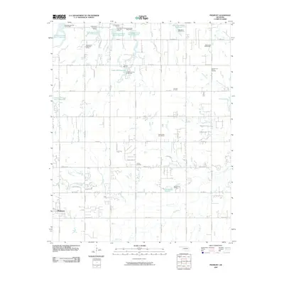 2009 Piedmont2009 Print · USGSThe growing community of Piedmont is captured in the early twenty-first century as suburban expansion meets a complex landscape of prairie watersheds. Genealogists and researchers can locate the Lockridge Cemetery, Kansas Cemetery, and trace the industrial footprint of the West Edmond Oil and Gas Field.
 - 2012 Map of Bethany NE, 2012 Print
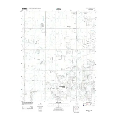 2012 Bethany NE2012 Print · USGSOklahoma City's northern fringe shows a unique mix of residential growth and ranching heritage in the early 21st century. Researchers can locate family landmarks like Christner Cem and trace the drainage of Bloody Rush Cr past the 5B Ranch Airport.
 - 2012 Map of Piedmont, 2012 Print
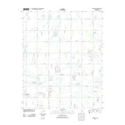 2012 Piedmont2012 Print · USGSThe Piedmont area and its surrounding Oklahoma prairies show a landscape of rapid suburban growth and established energy production. Genealogists and local historians can trace the sites of Saint Patricks Cem, the West Edmond Oil and Gas Field, and the various Soldier Cr tributaries.
 - 2016 Map of Bethany NE, 2016 Print
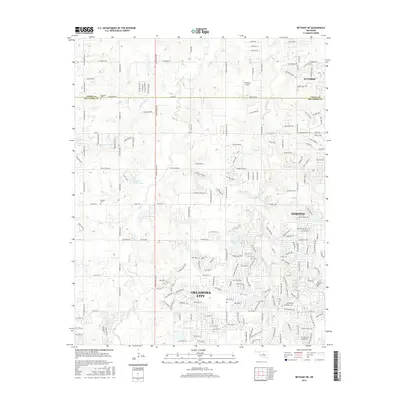 2016 Bethany NE2016 Print · USGSThe northern edge of the Oklahoma City metro area is captured here during a period of significant suburban growth. Genealogists can locate family burial sites at Christner Cem and Whisler Cem, while tracing local waterways like Bloody Rush Cr and Deer Cr.
 - 2016 Map of Piedmont, 2016 Print
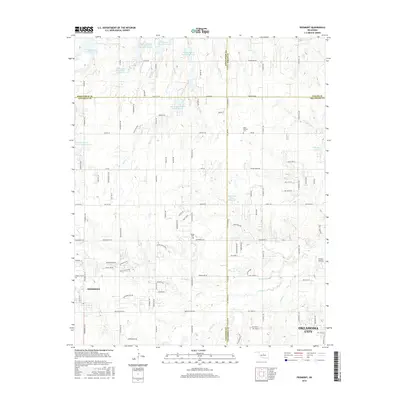 2016 Piedmont2016 Print · USGSThe Piedmont area and its rural surroundings are captured here during a period of steady suburban growth at the four-county junction. Researchers can locate family landmarks such as Saint Patricks Cem and Kansas Cem, or trace the numerous water management sites like Rush Creek Site 24 Reservoir.
 - 2018 Map of Bethany NE, 2018 Print
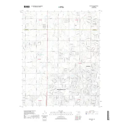 2018 Bethany NE2018 Print · USGSOklahoma City and Edmond meet along the county line in the late 2010s as suburban growth moves north toward Guthrie. Researchers can locate family sites at Christner Cem and Whisler Cem or trace the winding course of Deer Creek.
 - 2018 Map of Piedmont, 2018 Print
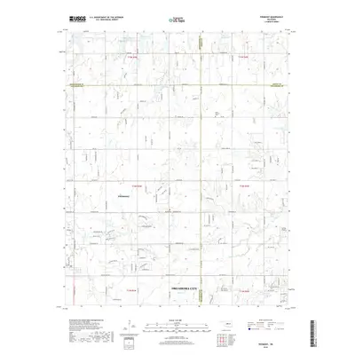 2018 Piedmont2018 Print · USGSPiedmont and the northwestern outskirts of Oklahoma City are shown here during a period of suburban expansion. Genealogists and local researchers can locate Saint Patricks Cem and Kansas Cem, or trace the drainage of Deer Cr and Wolf Cr.
 - 2022 Map of Piedmont, 2022 Print
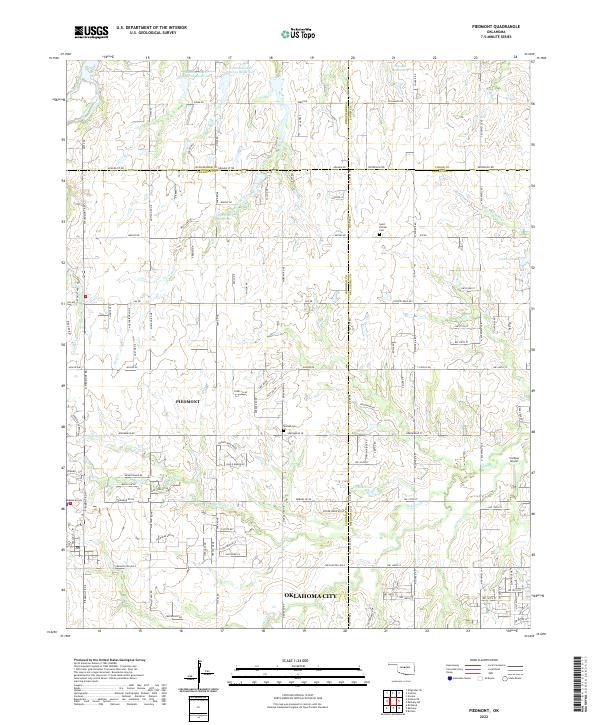 2022 Piedmont2022 Print · USGSPiedmont and the northwestern edges of the Oklahoma City metro area are captured here during a period of rapid suburban growth. Researchers can trace family sites at Saint Patrick Cem or locate the Caribou Airport near the banks of Deer Cr.
 - 2022 Map of Bethany NE, 2022 Print
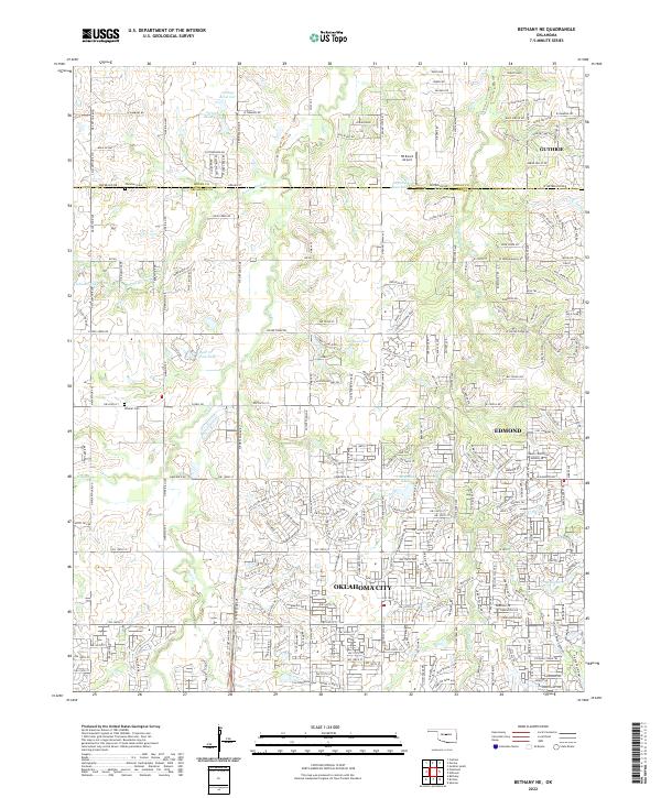 2022 Bethany NE2022 Print · USGSThe northern edge of the metropolitan area meets the Oklahoma prairie in this modern survey of the Logan Co and Oklahoma Co line. Genealogists can locate Christner Cem and Whisler Cem among the headwaters of Bloody Rush Cr.
End of results
Showing maps 1-18 of 18
Frequently asked questions
- What are the different types of historical maps available for Deer Creek Farms?
- What is the oldest map of Deer Creek Farms?
- Where can I purchase historical maps of Deer Creek Farms for my home or office?
- Where can I download high-res historical maps of Deer Creek Farms?
- Are there historical topographic maps available for Deer Creek Farms?
- Is there historical aerial imagery available for Deer Creek Farms?
- Where are historical maps of Deer Creek Farms sourced from?