Old Maps of Lep, Oklahoma for Metal Detecting
Plan your next treasure hunt with 10 historic maps of Lep. Find old homesites, ghost towns, trails, and gathering spots that may be lost to time — perfect for identifying promising metal detecting locations.
- Locate forgotten sites: Uncover places like long-lost settlements, abandoned rail lines, or gathering spots.
- Plan better hunts: Use map overlays combined with LiDAR or satellite views to narrow in on historically rich areas.
- Made for detectorists: Thousands of hobbyists use these maps to discover relics, coins, and hidden history.
Use these historic maps to boost your research and find new opportunities beneath the surface of Lep.
Lep, OK maps
(10)- 1916 Map of Foraker
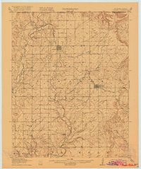 1916 Foraker1916 Print · USGSNorthern Osage County is captured here just before the First World War, showing the ranching and rail landscape of the Oklahoma-Kansas border. Family historians can locate rural landmarks like Red Eagle School, Grainola, and the Midland Valley railroad.2 unique versions available
 - 1955 Map of Enid, 1966 Print
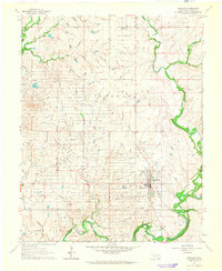
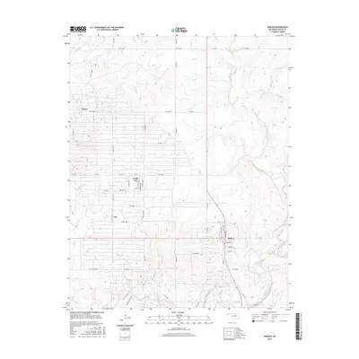
 1955 Enid1966 Print · USGSNorth-central Oklahoma's transition from open plains to the blackjack hills of the Osage Indian Reservation is captured in the mid-1950s. Researchers can trace the development of the Naval Reserve Oil Field, the grounds of Vance AFB, and the early footprints of Tulsa and Stillwater.4 unique versions available
 - 1958 Map of Enid
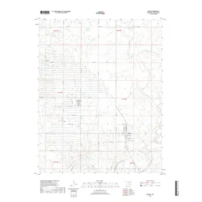
 1958 Enid1958 Print · USGSNorthern Oklahoma is mapped here in the late fifties, showcasing a dense network of petroleum production and historic tribal lands. Researchers can trace the legacy of the Osage Indian Reservation, early energy hubs like the Cushing Oil Field, and the Chilocco Indian Agricultural School.2 unique versions available
 - 1964 Map of Shidler, 1965 Print
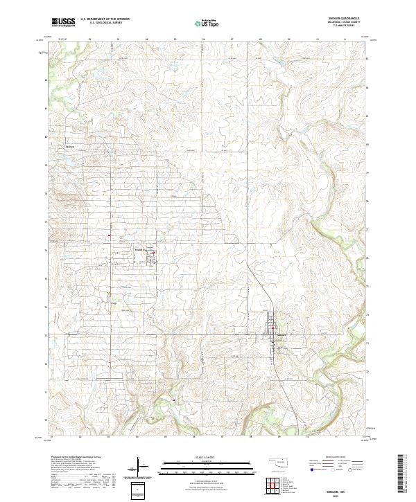
 1964 Shidler1965 Print · USGSOsage County's ranching and oil landscapes are captured here in the mid-sixties, centered on the town of Shidler. Researchers can trace the layout of Webb City, identify an early Landing Field, and locate the winding paths of Salt Creek and Beaver Creek.2 unique versions available
 - 1985 Map of Pawhuska, 1986 Print
 1985 Pawhuska1986 Print · USGSThe Osage Indian Reservation and its tribal capital at Pawhuska are seen here in the mid-1980s as the region's ranching and oil legacies matured. Genealogists and historians can trace family-named sites and vanished industrial tracks near Bigheart, Wynona, and Gray Horse.2 unique versions available
 - 2009 Map of Shidler, 2009 Print
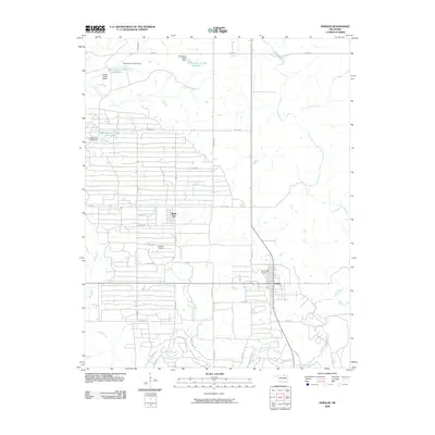 2009 Shidler2009 Print · USGSCovers Lep, including Shidler, Webb City, and other nearby areas
 - 2012 Map of Shidler, 2012 Print
 2012 Shidler2012 Print · USGSCovers Lep, including Shidler, Webb City, and other nearby areas
 - 2016 Map of Shidler, 2016 Print
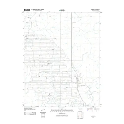
 2016 Shidler2016 Print · USGSCovers Lep, including Shidler, Webb City, and other nearby areas
 - 2018 Map of Shidler, 2018 Print
 2018 Shidler2018 Print · USGSCovers Lep, including Shidler, Webb City, and other nearby areas
 - 2022 Map of Shidler, 2022 Print
 2022 Shidler2022 Print · USGSOsage County's oil heritage is preserved in this recent survey of the Shidler and Webb City area. Researchers can trace the layout of small settlements like Lyman and Lep or follow the waters of Salt Creek and Haines Cr through the prairie landscape.
End of results
Showing maps 1-10 of 10
Top cities near Lep
- Fairfax historical maps
- Shidler historical maps
- Kaw City historical maps
- Burbank historical maps
- Webb City historical maps
- Grainola historical maps
See more
Frequently asked questions
- What are the different types of historical maps available for Lep?
- What is the oldest map of Lep?
- Where can I purchase historical maps of Lep for my home or office?
- Where can I download high-res historical maps of Lep?
- Are there historical topographic maps available for Lep?
- Is there historical aerial imagery available for Lep?
- Where are historical maps of Lep sourced from?