Old Maps of McCord, Oklahoma for Hiking & Exploration
Hike through history with 9 historic maps of McCord. Explore old trails, ghost towns, and forgotten backroads — perfect for outdoor adventurers and local explorers.
- Rediscover forgotten places: Map out old mining camps, roads, and footpaths that no longer exist on modern maps.
- Layer with modern tools: Combine with LiDAR or satellite views to plan hikes through historical terrain.
- Made for exploration: Popular among hikers, overlanders, and local history lovers.
Use these maps to find adventure and explore the hidden past of McCord.
McCord, OK maps
(9)- 1955 Map of Enid, 1966 Print
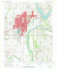
 1955 Enid1966 Print · USGSNorth-central Oklahoma's transition from open plains to the blackjack hills of the Osage Indian Reservation is captured in the mid-1950s. Researchers can trace the development of the Naval Reserve Oil Field, the grounds of Vance AFB, and the early footprints of Tulsa and Stillwater.4 unique versions available
 - 1958 Map of Enid
 1958 Enid1958 Print · USGSNorthern Oklahoma is mapped here in the late fifties, showcasing a dense network of petroleum production and historic tribal lands. Researchers can trace the legacy of the Osage Indian Reservation, early energy hubs like the Cushing Oil Field, and the Chilocco Indian Agricultural School.2 unique versions available
 - 1968 Map of Ponca City, 1970 Print
 1968 Ponca City1970 Print · USGSPonca City and the surrounding Kay County prairies are captured here in the late sixties, highlighting a landscape shaped by petroleum and the Arkansas River. Researchers can locate family sites at St Marys Cem, trace the Atchison Topeka and Santa Fe rail lines, or find the White Eagle Station.2 unique versions available
 - 1985 Map of Ponca City
 1985 Ponca City1985 Print · USGSNorth-central Oklahoma during the mid-eighties shows a landscape shaped by petroleum and heavy rail. Trace the paths of the Atchison Topeka and Santa Fe through Ponca City or find local landmarks like Northern Oklahoma Junior College and Old Bliss.3 unique versions available
 - 2010 Map of Ponca City, 2010 Print
 2010 Ponca City2010 Print · USGSCovers McCord, including Ponca City, Osage County, and other nearby areas
 - 2012 Map of Ponca City, 2012 Print
 2012 Ponca City2012 Print · USGSCovers McCord, including Ponca City, Osage County, and other nearby areas
 - 2016 Map of Ponca City, 2016 Print
 2016 Ponca City2016 Print · USGSCovers McCord, including Ponca City, Osage County, and other nearby areas
 - 2018 Map of Ponca City, 2018 Print
 2018 Ponca City2018 Print · USGSCovers McCord, including Ponca City, Osage County, and other nearby areas
 - 2022 Map of Ponca City, 2022 Print
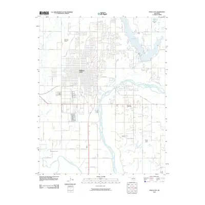
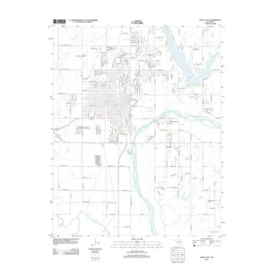
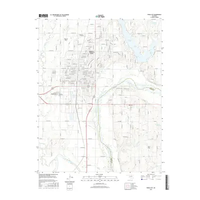
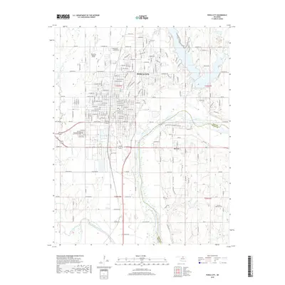
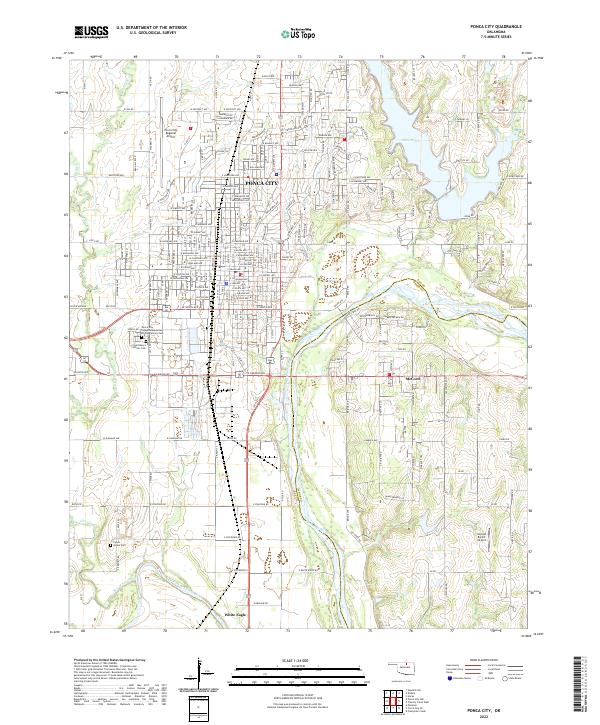 2022 Ponca City2022 Print · USGSPonca City and the surrounding Kay County prairies are captured here at the meeting of two great rivers. Genealogists and local historians can trace family locations near White Eagle, McCord, and the Ponca Indian Cem along the Arkansas River.
End of results
Showing maps 1-9 of 9
Top cities near McCord
- Ponca City historical maps
- Newkirk historical maps
- Kaw City historical maps
- Red Rock historical maps
- Marland historical maps
- Kildare historical maps
Frequently asked questions
- What are the different types of historical maps available for McCord?
- What is the oldest map of McCord?
- Where can I purchase historical maps of McCord for my home or office?
- Where can I download high-res historical maps of McCord?
- Are there historical topographic maps available for McCord?
- Is there historical aerial imagery available for McCord?
- Where are historical maps of McCord sourced from?