Old Maps of Rambo, Oklahoma for Academic Research
Study the evolution of Rambo with 11 high-resolution historic maps. Whether you're teaching, researching, or modeling changes in land use, these maps provide essential visual documentation of urban, environmental, and geographic change.
- Analyze long-term change: Track patterns in development, transportation, and natural features.
- Ideal for environmental or urban studies: Support academic projects with primary historical map data.
- Use in the classroom or lab: Educators and researchers rely on these maps to bring historical context to life.
These maps are a powerful tool for teaching, research, and visualizing how Rambo has changed over the decades.
Rambo, OK maps
(11)- 1930 Map of Pawnee, 1958 Print
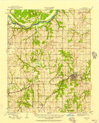 1930 Pawnee1958 Print · USGSNorth-central Oklahoma at the start of the 1930s shows a landscape shaped by river commerce, the oil industry, and early rail lines. Local historians can trace the Pawnee Indian School Reservation, the Old Town Trading Post, and numerous rural school sites like Highland Sch.
 - 1936 Map of Pawnee
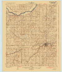 1936 Pawnee1936 Print · USGSPawnee County and the surrounding cattle and oil country come alive in this mid-thirties survey of the Oklahoma plains. Researchers can locate dozens of country schools like Star A Star Sch and trace the Pawnee Indian School Reservation and the Old Town Trading Post.2 unique versions available
 - 1955 Map of Enid, 1966 Print
 1955 Enid1966 Print · USGSNorth-central Oklahoma's transition from open plains to the blackjack hills of the Osage Indian Reservation is captured in the mid-1950s. Researchers can trace the development of the Naval Reserve Oil Field, the grounds of Vance AFB, and the early footprints of Tulsa and Stillwater.4 unique versions available
 - 1958 Map of Enid
 1958 Enid1958 Print · USGSNorthern Oklahoma is mapped here in the late fifties, showcasing a dense network of petroleum production and historic tribal lands. Researchers can trace the legacy of the Osage Indian Reservation, early energy hubs like the Cushing Oil Field, and the Chilocco Indian Agricultural School.2 unique versions available
 - 1978 Map of Lela
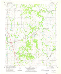 1978 Lela1978 Print · USGSPawnee and Noble counties are captured here in the late seventies, showing a landscape defined by prairie creeks and fossil fuel extraction. Researchers can trace family history at Indian Cem or follow the rails of the St Louis - San Francisco through Lela.
 - 1990 Map of Keystone Lake
 1990 Keystone Lake1990 Print · USGSNorth-central Oklahoma's landscape is captured here in the 1990s as the vast waters of Keystone Lake meet the Osage Indian Reservation. Researchers can trace old rail corridors like the St Louis-San Francisco Railway and find local landmarks such as Pawnee Bill State Park or the Oil Field at Oilton.
 - 2009 Map of Lela, 2009 Print
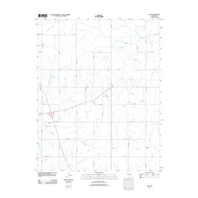
 2009 Lela2009 Print · USGSCovers Rambo, including Lela, Pawnee County, and other nearby areas
 - 2012 Map of Lela, 2012 Print
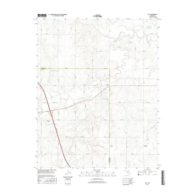
 2012 Lela2012 Print · USGSCovers Rambo, including Lela, Pawnee County, and other nearby areas
 - 2016 Map of Lela, 2016 Print
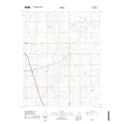
 2016 Lela2016 Print · USGSCovers Rambo, including Lela, Pawnee County, and other nearby areas
 - 2018 Map of Lela, 2018 Print
 2018 Lela2018 Print · USGSCovers Rambo, including Lela, Pawnee County, and other nearby areas
 - 2022 Map of Lela, 2022 Print
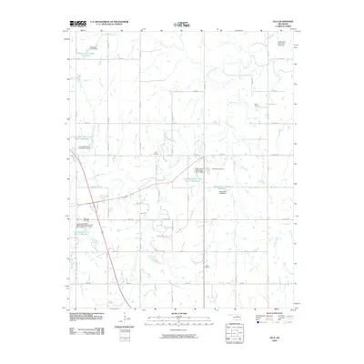
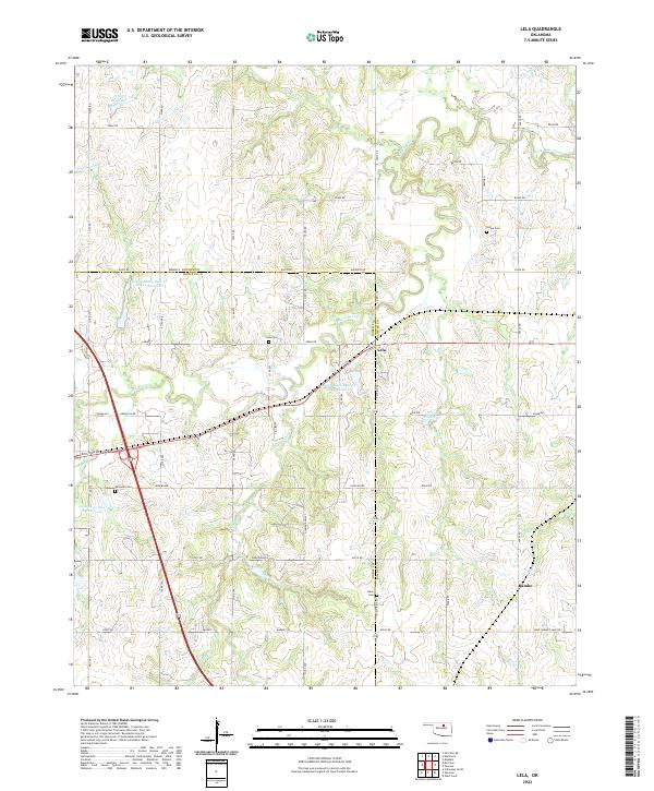 2022 Lela2022 Print · USGSNorth-central Oklahoma's rural landscape at the Noble and Pawnee county line comes into focus in this contemporary survey. Genealogists and local historians can locate several family and community burial sites, including Indian Cem, Lela Cem, and Union Cem.
End of results
Showing maps 1-11 of 11
Top cities near Rambo
- Stillwater historical maps
- Pawnee historical maps
- Yale historical maps
- Morrison historical maps
- Glencoe historical maps
- Maramec historical maps
See more
Frequently asked questions
- What are the different types of historical maps available for Rambo?
- What is the oldest map of Rambo?
- Where can I purchase historical maps of Rambo for my home or office?
- Where can I download high-res historical maps of Rambo?
- Are there historical topographic maps available for Rambo?
- Is there historical aerial imagery available for Rambo?
- Where are historical maps of Rambo sourced from?