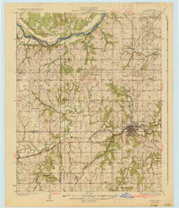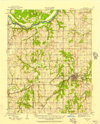
1930 Map of Pawnee
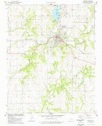
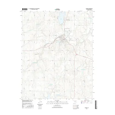
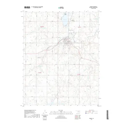
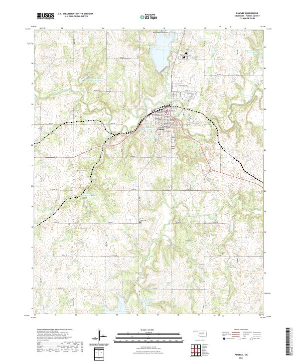
USGS Topo · Published 1958About this map
The Pawnee township and the Pawnee Indian School Reservation anchor this 1930 survey of north-central Oklahoma. The landscape is defined by the winding Arkansas River and Black Bear Creek, which drain a region transitioning from agricultural river bottoms to the rolling terrain of Big Hill and the Towe and Liberty uplands. The infrastructure of the early 20th-century petroleum industry is evident in the presence of the Champlin Pumping Sta and Gulf Pumping Sta, while the agricultural and commercial life of the era is captured through numerous rural schoolhouses such as Star A Star Sch and Olive Hill Sch. Significant historical landmarks like the Old Town Trading Post and settlements like Lela and Masham illustrate the area's development along the St Louis San Francisco and Atchison Topeka and Santa Fe railroad lines.
Find a feature on this map
57 named features on this map. Tap any name to fly to it.
Don’t see what you’re looking for? This feature index may not catch every label — zoom into the map to look around manually.
Map Details
Editions of this 1930 Pawnee Map
This is the sole edition of this map. No revisions or reprints were ever made.
Historical Maps of Pawnee Through Time
8 maps found