
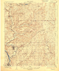
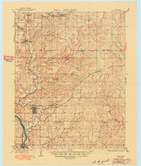
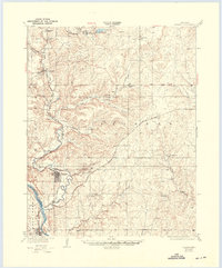
1932 Map of Fairfax
USGS Topo · Published 1932About this map
Arkansas River frontage and the industrial infrastructure of the Osage oil fields define this 1930s landscape. The bustling community of Fairfax serves as the regional anchor, while specialized company towns and industrial camps like Carter Nine and Roan Horse Camp highlight the era's petroleum-driven development. An extensive network of the Atchison Topeka and Santa Fe railroad connects these hubs, weaving past numerous Oil Pumping Stations and clusters of Oil Tanks that fueled the local economy.
Find a feature on this map
30 named features on this map. Tap any name to fly to it.
Don’t see what you’re looking for? This feature index may not catch every label — zoom into the map to look around manually.
Map Details
Editions of this 1932 Fairfax Map
4 editions found
Other maps of this area

1909 · Pawhuska
USGS Topo · 1:125,000

1910 · Pawhuska
USGS Topo · 1:125,000

1912 · Hominy
USGS Topo · 1:125,000

1915 · Hominy
USGS Topo · 1:125,000

1915 · Hominy
USGS Topo · 1:62,500

1916 · Foraker
USGS Topo · 1:62,500

1929 · Skedee
USGS Topo · 1:62,500

1930 · Pawnee
USGS Topo · 1:62,500

1931 · Skedee
USGS Topo · 1:62,500

1935 · Kaw
USGS Topo · 1:62,500