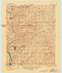
1932 Map of Fairfax
USGS Topo · Published 1949About this map
Fairfax and the surrounding Osage County landscape reveal a region defined by the energy industry and cattle ranching during the late 1920s. The map highlights a network of Oil Pumping Stations and Oil Tanks near Hickman and Burbank, marking the significant petroleum activity in this portion of Oklahoma. Educational centers like Little Chief Sch and St Johns Sch served the dispersed rural population, while Roan Horse Camp and Gray Horse point to the local cultural and ranching geography. The Atchison Topeka and Santa Fe railroad tracks cut across the terrain, connecting settlements like Remington to the broader market. The winding course of the Arkansas River forms a natural boundary to the south, where it meets Coal Creek near the town of Ralston. This map provides a detailed view of the infrastructure and land use in the years just before the Great Depression.
Find a feature on this map
34 named features on this map. Tap any name to fly to it.
Don’t see what you’re looking for? This feature index may not catch every label — zoom into the map to look around manually.
Map Details
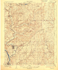
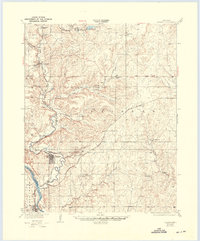
Editions of this 1932 Fairfax Map
4 editions found
Other maps of this area

1909 · Pawhuska
USGS Topo · 1:125,000

1910 · Pawhuska
USGS Topo · 1:125,000

1912 · Hominy
USGS Topo · 1:125,000

1915 · Hominy
USGS Topo · 1:125,000

1915 · Hominy
USGS Topo · 1:62,500

1916 · Foraker
USGS Topo · 1:62,500

1929 · Skedee
USGS Topo · 1:62,500

1930 · Pawnee
USGS Topo · 1:62,500

1931 · Skedee
USGS Topo · 1:62,500

1932 · Fairfax
USGS Topo · 1:62,500