
Loading...
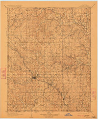
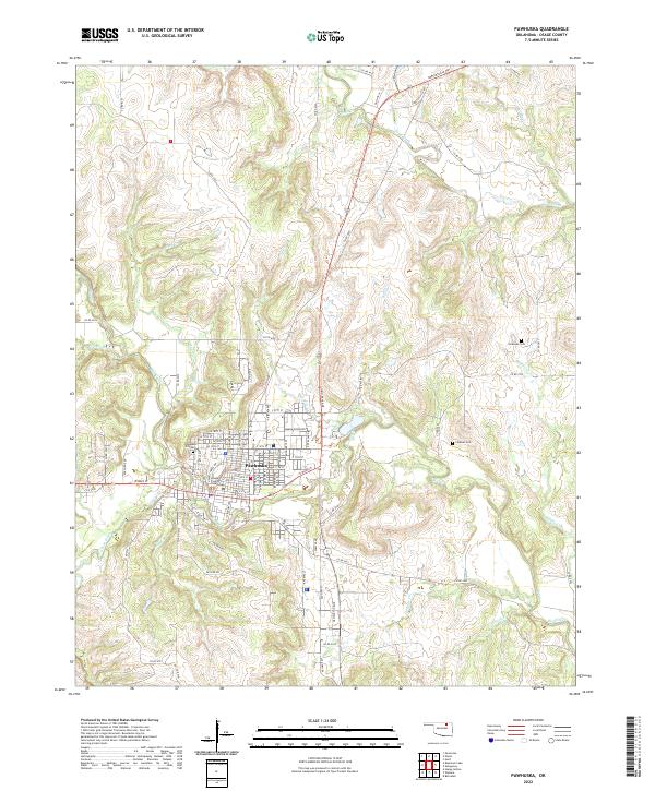
Loading map...1909 Map of Pawhuska
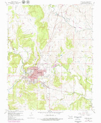
USGS Topo · Published 1957About this map
Pawhuska serves as the central hub of Osage County in this early twentieth-century survey, surrounded by a complex landscape of creeks and high ground. The rail infrastructure of the era is prominently displayed, with the Midland Valley and Atchison Topeka and Santa Fe lines intersecting near Nelagoney. These routes supported a burgeoning economy in towns like Barnsdall and Wynona, which are situated along the lower reaches of Bird Creek.
Find a feature on this map
49 named features on this map. Tap any name to fly to it.
Don’t see what you’re looking for? This feature index may not catch every label — zoom into the map to look around manually.
Map Details
Date Portrayed1909
Date Published1957
PublisherU.S. Geological Survey
Map TypeTopographic
Scale1:125,000
Physical Dimensions17.6 x 21.3 inches
Editions of this 1909 Pawhuska Map
This is the sole edition of this map. No revisions or reprints were ever made.
Historical Maps of Bartlesville Through Time
9 maps found
Featured Locations
Source Details
SourceU.S. Geological Survey
CopyrightPublic Domain