1906 Map of Nelagoney
USGS Topo · Published 1975About this map
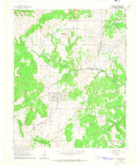
Osage Hills State Park and the rugged landscapes of the Strike Axe and Bigheart townships define this portion of Osage County. The map documents a territory deeply connected to the petroleum industry, evidenced by numerous Oil Wells and Gas Wells scattered throughout the hills. Transportation is anchored by two significant rail lines: the Missouri Kansas Texas railroad, which passes through Okesa and Kiheki, and the Midland Valley railroad serving the settlement of Nelagoney in the southwest corner. Water features like Sand Creek, Lookout Lake, and Peters Lake provide the primary drainage for this upland region, while the Boy Scout Camp near the state park suggests the area's transition into a space for recreation and conservation amidst its industrial oil-field activity.
Find a feature on this map
24 named features on this map. Tap any name to fly to it.
Don’t see what you’re looking for? This feature index may not catch every label — zoom into the map to look around manually.
Map Details
Editions of this 1906 Nelagoney Map
This is the sole edition of this map. No revisions or reprints were ever made.
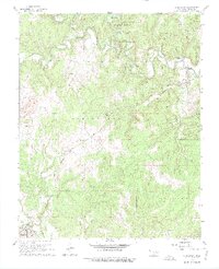
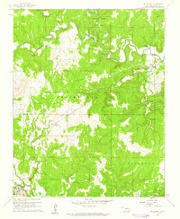
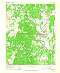
Other maps of this area

1909 · Pawhuska
USGS Topo · 1:125,000

1910 · Pawhuska
USGS Topo · 1:125,000

1955 · Enid
USGS Topo · 1:250,000

1958 · Enid
USGS Topo · 1:250,000

1960 · Nanos
USGS Topo · 1:24,000
1960 · Nelagoney
USGS Topo · 1:24,000
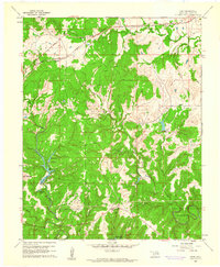
1960 · Herd
USGS Topo · 1:24,000

1960 · Pawhuska
USGS Topo · 1:24,000
1964 · Barnsdall
USGS Topo · 1:24,000
1964 · Wynona
USGS Topo · 1:24,000