
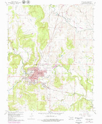
1960 Map of Pawhuska
USGS Topo · Published 1961About this map
The Osage Reserve and the city of Pawhuska serve as the central hub for this 1960 survey, illustrating a landscape defined by petroleum production and tribal history. An extensive Oil Field and numerous oil wells and gas wells pepper the terrain, particularly north and east of the city center. This industrial activity is woven into a community infrastructure that includes the Indian Camp Sch, Lynn Sch, and a Hospital.
Find a feature on this map
41 named features on this map. Tap any name to fly to it.
Don’t see what you’re looking for? This feature index may not catch every label — zoom into the map to look around manually.
Map Details
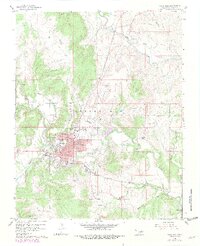
Editions of this 1960 Pawhuska Map
3 editions found
Other maps of this area

1906 · Nelagoney
USGS Topo · 1:24,000

1909 · Pawhuska
USGS Topo · 1:125,000

1910 · Pawhuska
USGS Topo · 1:125,000

1955 · Enid
USGS Topo · 1:250,000

1958 · Enid
USGS Topo · 1:250,000

1960 · Nanos
USGS Topo · 1:24,000

1960 · Nelagoney
USGS Topo · 1:24,000

1960 · Herd
USGS Topo · 1:24,000

1964 · Barnsdall
USGS Topo · 1:24,000
1964 · Wynona
USGS Topo · 1:24,000