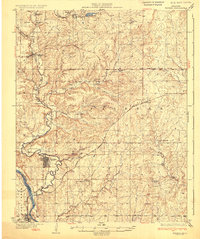
1932 Map of Fairfax
USGS Topo · Published 1932About this map
The Oklahoma oil landscape of Osage County is clearly defined in this 1932 edition, where oil pumping stations and oil tanks near Burbank and Hickman reveal the industrial footprint of the era. The Atchison Topeka and Santa Fe railroad threads through the territory, connecting the established town of Fairfax with smaller settlements like Remington and Strohm.
Find a feature on this map
32 named features on this map. Tap any name to fly to it.
Don’t see what you’re looking for? This feature index may not catch every label — zoom into the map to look around manually.
Map Details
Editions of this 1932 Fairfax Map
4 editions found
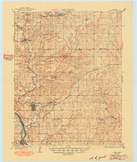
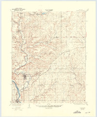
Other maps of this area

1909 · Pawhuska
USGS Topo · 1:125,000

1910 · Pawhuska
USGS Topo · 1:125,000

1912 · Hominy
USGS Topo · 1:125,000

1915 · Hominy
USGS Topo · 1:125,000

1915 · Hominy
USGS Topo · 1:62,500

1916 · Foraker
USGS Topo · 1:62,500

1929 · Skedee
USGS Topo · 1:62,500

1930 · Pawnee
USGS Topo · 1:62,500

1931 · Skedee
USGS Topo · 1:62,500

1932 · Fairfax
USGS Topo · 1:62,500