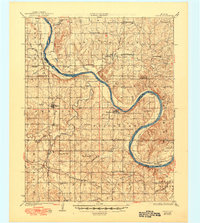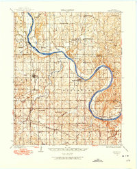
1929 Map of Skedee
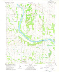
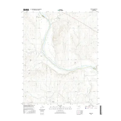
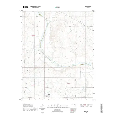
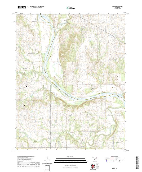
USGS Topo · Published 1975About this map
The Arkansas River winds in dramatic loops across this landscape, serving as the primary boundary between Osage Co and Pawnee Co. At a time when the river dominated local transit and industry, the East Bend Ferry provided a critical crossing point near Souters Bend, while the Ralston Pumping Sta indicates the region's early infrastructure development. The settlement pattern is defined by rural education, with a high density of country schools such as North Enterprise Sch, Buena Vista Sch, and Sorghum Point Sch serving the farming families of the Fairfax and Jordan Valley districts.
Find a feature on this map
62 named features on this map. Tap any name to fly to it.
Don’t see what you’re looking for? This feature index may not catch every label — zoom into the map to look around manually.
Map Details
Editions of this 1929 Skedee Map
This is the sole edition of this map. No revisions or reprints were ever made.
Historical Maps of Ralston Through Time
8 maps found