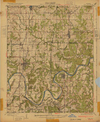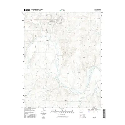
1929 Map of Yale
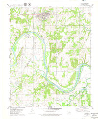
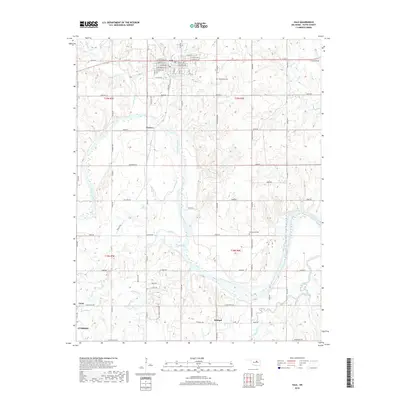
USGS Topo · Published 1959About this map
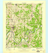
The Cimarron River carves a deep path through this 1920s landscape, serving as a prominent geographical and political marker where it meets the Old Ind Ter Okla Bdy. This era captures the region's heavy industrial footprint, specifically the petroleum infrastructure centered around Oilton and the significant cluster of 35 Oil Tanks to the south. The survey reveals a remarkably dense network of rural education, with dozens of local institutions like Bryan Sch, Lone Elm Sch, and Oakdale Sch serving the scattered homesteads of the Pawnee and Payne County borderlands.
Find a feature on this map
53 named features on this map. Tap any name to fly to it.
Don’t see what you’re looking for? This feature index may not catch every label — zoom into the map to look around manually.
Map Details
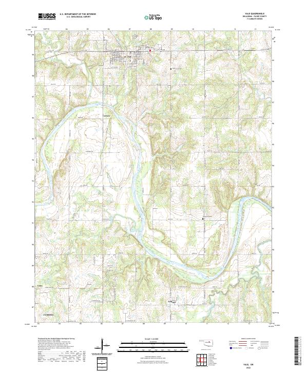
Editions of this 1929 Yale Map
This is the sole edition of this map. No revisions or reprints were ever made.
Historical Maps of Cushing Through Time
8 maps found