
1908 Map of Agra
USGS Topo · Published 1908About this map
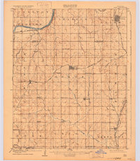
The Cimarron River cuts through the northern portion of this territory during the final transition from Oklahoma Territory to statehood. The rail landscape is particularly dense, showing the Atchison Topeka and Santa Fe RR following the river valley while the Missouri Kansas and Texas RR and the Oklahoma Division of the St Louis and San Francisco RR intersect at early rail hubs. This period reflects a landscape of rural community building, evidenced by a high density of country schools including the distinctively named Free Silver School, Hardscrabble School, and Valley Queen School. Significant settlements like Cushing, Agra, and Tryon appear in their early grid formats, serving as central points for the surrounding townships of Clayton, Perkins, and Osage. The map captures a moment when the regional economy was tied closely to these rail corridors and small-scale agricultural education centers.
Find a feature on this map
54 named features on this map. Tap any name to fly to it.
Don’t see what you’re looking for? This feature index may not catch every label — zoom into the map to look around manually.
Map Details
Editions of this 1908 Agra Map
3 editions found
Other maps of this area

1893 · Stillwater
USGS Topo · 1:62,500

1905 · Chandler
USGS Topo · 1:62,500

1907 · Chandler
USGS Topo · 1:62,500

1909 · Luther
USGS Topo · 1:62,500

1909 · Perkins
USGS Topo · 1:62,500

1929 · Yale
USGS Topo · 1:62,500

1929 · Ripley
USGS Topo · 1:62,500

1929 · Stroud
USGS Topo · 1:62,500

1931 · Drumright
USGS Topo · 1:62,500

1932 · Stroud
USGS Topo · 1:62,500