Loading...
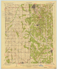
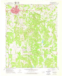
Loading map...1931 Map of Drumright
USGS Topo · Published 1931About this map
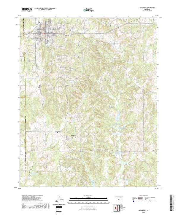
Drumright stands as a central hub of the Oklahoma oil fields during the early 1930s, surrounded by a dense network of derricks and infrastructure, including a massive cluster of Oil Tanks to the west. This industrial activity is woven into a landscape of rural schoolhouses and small settlements like Shamrock and Depew. The map clearly delineates the Indian Territory Boundary, separating the Indian Nation from neighboring counties, a critical reference for understanding the land tenure of the era.
Find a feature on this map
59 named features on this map. Tap any name to fly to it.
Don’t see what you’re looking for? This feature index may not catch every label — zoom into the map to look around manually.
Map Details
Date Portrayed1931
Date Published1931
PublisherU.S. Geological Survey
Map TypeTopographic
Scale1:62,500
Physical Dimensions17 x 20.3 inches
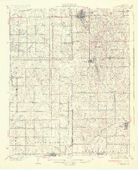
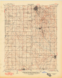
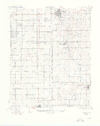
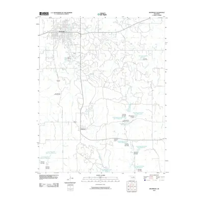
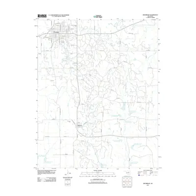
Editions of this 1931 Drumright Map
4 editions found
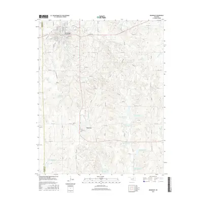
Historical Maps of Cushing Through Time
7 maps found
Featured Locations
Source Details
SourceU.S. Geological Survey
CopyrightPublic Domain