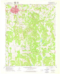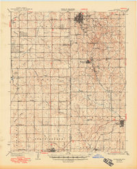
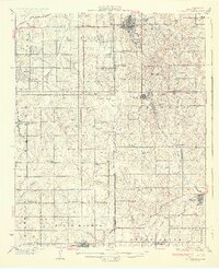
1931 Map of Drumright
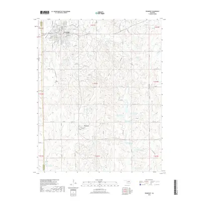
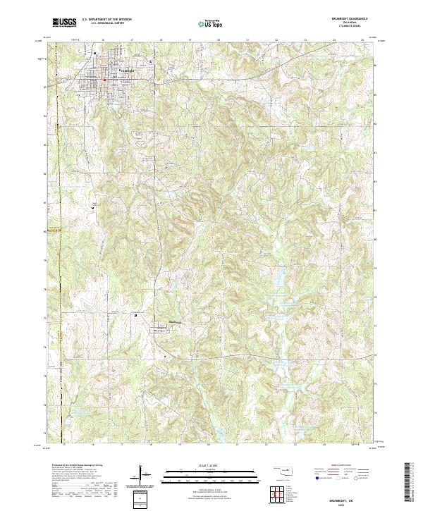
USGS Topo · Published 1949About this map
The developing oil fields and rural school districts of central Oklahoma define this 1931 survey. Drumright stands as a primary population center, supported by a dense network of specialized facilities such as the Oil Tanks south of Cushing. The map documents the early 20th-century landscape of Indian Territory, showing the Oklahoma Indian Territory Old Boundary cutting through the region. This era was characterized by an incredible density of country schools, including Antioch Sch, Happy Valley Sch, and New Liberty Sch, which served as the social anchors for farming families across the Payne and Lincoln County lines.
Find a feature on this map
61 named features on this map. Tap any name to fly to it.
Don’t see what you’re looking for? This feature index may not catch every label — zoom into the map to look around manually.
Map Details
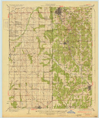
Editions of this 1931 Drumright Map
4 editions found
Historical Maps of Cushing Through Time
7 maps found