Old Maps of Cushing, Oklahoma for Metal Detecting
Plan your next treasure hunt with 37 historic maps of Cushing. Find old homesites, ghost towns, trails, and gathering spots that may be lost to time — perfect for identifying promising metal detecting locations.
- Locate forgotten sites: Uncover places like long-lost settlements, abandoned rail lines, or gathering spots.
- Plan better hunts: Use map overlays combined with LiDAR or satellite views to narrow in on historically rich areas.
- Made for detectorists: Thousands of hobbyists use these maps to discover relics, coins, and hidden history.
Use these historic maps to boost your research and find new opportunities beneath the surface of Cushing.
Cushing, OK maps
(37)- 1908 Map of Agra
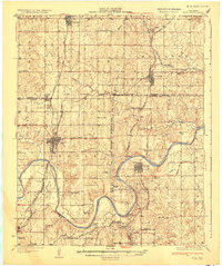
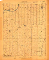 1908 Agra1908 Print · USGSAs the Oklahoma Territory transitioned into statehood, this area was a bustling network of new rail lines and rural school districts. Researchers can trace early township developments and family-centric landmarks like Free Silver School, the riverside stop at Cottingham, or the junction at Agra.3 unique versions available
 - 1929 Map of Yale, 1959 Print
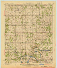
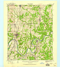 1929 Yale1959 Print · USGSOklahoma's oil and rail heartland comes into focus in the late 1920s as the petroleum industry reshapes the landscape of the former Indian Territory. Researchers can trace the extensive network of rural schools and industrial sites, from 35 Oil Tanks near Oilton to the many country schoolhouses like Lone Elm Sch and Bethel Sch.
 - 1929 Map of Ripley, 1959 Print
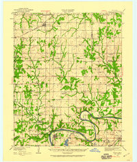 1929 Ripley1959 Print · USGSEastern Oklahoma townships in Payne and Pawnee Counties appear here as they were in the late 1920s, structured by early rail lines and river bends. You can trace the community life of the era through sites like Ingalls Signet P O, the Rosenwald Sch, and the Atchison Topeka and Santa Fe tracks.
 - 1931 Map of Drumright
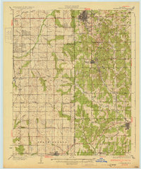 1931 Drumright1931 Print · USGSOklahoma's oil boom era is captured here at its peak, showing the industrial landscape around Drumright and Shamrock. Local historians can trace dozens of rural school sites like Happy Valley Sch and the original path of Highway No 66.4 unique versions available
 - 1932 Map of Yale
 1932 Yale1932 Print · USGSThe oil-rich landscape along the Cimarron River is captured here just after the peak of the regional boom. Researchers can locate early schools and burial sites like Pleasantvale Sch and Greenwood Cem, alongside major petroleum infrastructure like the 35 Oil Tanks near Oilton.3 unique versions available
 - 1932 Map of Ripley
 1932 Ripley1932 Print · USGSRipley and Glencoe anchor this Depression-era portrait of the Oklahoma landscape as the oil industry began to mark the riverbanks. Researchers can locate dozens of vanished rural schools and early landmarks like Twin Mounds, the Payne County Farm, and the Signet PO.2 unique versions available
 - 1954 Map of Oklahoma City
 1954 Oklahoma City1954 Print · USGSOklahoma City and its surrounding counties are captured here in the early fifties during a period of significant postwar growth. Researchers can trace the development of the Turner Turnpike and locate aviation hubs like Tinker Field or Will Rogers Field.
 - 1955 Map of Enid, 1966 Print
 1955 Enid1966 Print · USGSNorth-central Oklahoma's transition from open plains to the blackjack hills of the Osage Indian Reservation is captured in the mid-1950s. Researchers can trace the development of the Naval Reserve Oil Field, the grounds of Vance AFB, and the early footprints of Tulsa and Stillwater.4 unique versions available
 - 1957 Map of Oklahoma City, 1969 Print
 1957 Oklahoma City1969 Print · USGSCentral Oklahoma is captured here in a period of significant mid-century growth and industrialization. Researchers can trace family roots through numerous rural markers like Memory Lane Cem, New Hope School, and the sprawling grounds of Tinker Air Force Base.3 unique versions available
 - 1958 Map of Enid
 1958 Enid1958 Print · USGSNorthern Oklahoma is mapped here in the late fifties, showcasing a dense network of petroleum production and historic tribal lands. Researchers can trace the legacy of the Osage Indian Reservation, early energy hubs like the Cushing Oil Field, and the Chilocco Indian Agricultural School.2 unique versions available
 - 1963 Map of Oklahoma City
 1963 Oklahoma City1963 Print · USGSCentral Oklahoma in the early sixties showcases a landscape of rapid suburban growth and established oil production. Researchers can trace historic rail lines like the Chicago Rock Island and Pacific RR or locate rural landmarks such as Mayflower School and Bethel Church.
 - 1975 Map of Cushing, 1979 Print
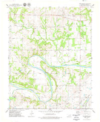
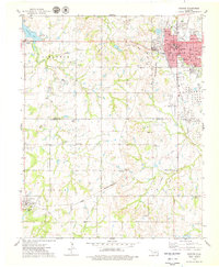 1975 Cushing1979 Print · USGSCushing and the surrounding Central Oklahoma oil country are captured here during the mid-seventies, showing the intersection of heavy industry and rural life. Genealogists and local historians can trace family locations near Union Cem, Avery, and the Lone Oak Community Hall.
 - 1975 Map of North Village, 1979 Print
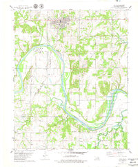
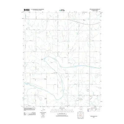
 1975 North Village1979 Print · USGSThe Oklahoma oil country east of Cushing comes into focus during the mid-seventies, revealing a landscape of heavy industry and quiet rural settlements. Researchers can trace the legacy of petroleum through several Tank Farms or locate family roots at Silver Star Cem and Harmony Sch.
 - 1975 Map of Twin Mounds, 1979 Print
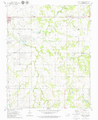
 1975 Twin Mounds1979 Print · USGSThe Oklahoma oil country along the Cimarron River is captured here in the mid-seventies, showing the intersection of industry and rural life. Genealogists and local historians can locate several family cemeteries like Dunkin Cem and Ingall Cem alongside the rail hubs at Gano.
 - 1978 Map of Yale, 1979 Print
 1978 Yale1979 Print · USGSPetroleum industry and river geography define this Payne County region in the late 1970s. Researchers can trace the legacy of the oil boom through the massive Tank Farm and the Oil fields surrounding Yale, while locating rural landmarks like Deep Rock Sch and Schlegel.
 - 1990 Map of Keystone Lake
 1990 Keystone Lake1990 Print · USGSNorth-central Oklahoma's landscape is captured here in the 1990s as the vast waters of Keystone Lake meet the Osage Indian Reservation. Researchers can trace old rail corridors like the St Louis-San Francisco Railway and find local landmarks such as Pawnee Bill State Park or the Oil Field at Oilton.
 - 1990 Map of Bristow
 1990 Bristow1990 Print · USGSCentral Oklahoma's township and range grid is on full display in the 1990s, anchored by the crossroads at Bristow and Sapulpa. Researchers can trace old community lines and regional landmarks from Heyburn Reservoir to the historic streets of Boley.
 - 2010 Map of Cushing, 2010 Print
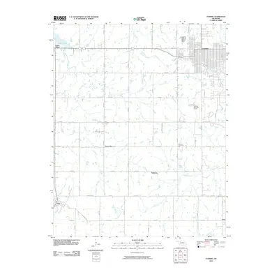 2010 Cushing2010 Print · USGSCovers Cushing, including Agra, Wildhorse, and other nearby areas
 - 2010 Map of North Village, 2010 Print
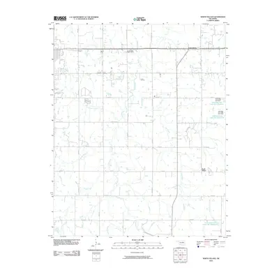 2010 North Village2010 Print · USGSCovers Cushing, including Drumright, South Village, and other nearby areas
 - 2010 Map of Yale, 2010 Print
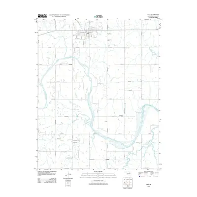
 2010 Yale2010 Print · USGSCovers Cushing, including Yale, Schlegel, and other nearby areas
 - 2010 Map of Twin Mounds, 2010 Print
 2010 Twin Mounds2010 Print · USGSCovers Cushing, including Gano, Amabel, and other nearby areas
 - 2012 Map of Cushing, 2012 Print
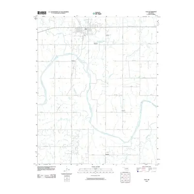
 2012 Cushing2012 Print · USGSCovers Cushing, including Agra, Wildhorse, and other nearby areas
 - 2012 Map of North Village, 2012 Print
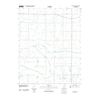
 2012 North Village2012 Print · USGSCovers Cushing, including Drumright, South Village, and other nearby areas
 - 2012 Map of Twin Mounds, 2012 Print
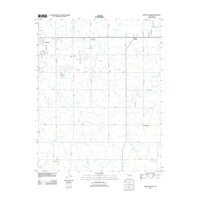
 2012 Twin Mounds2012 Print · USGSCovers Cushing, including Gano, Amabel, and other nearby areas
 - 2012 Map of Yale, 2012 Print
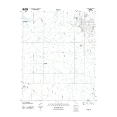
 2012 Yale2012 Print · USGSCovers Cushing, including Yale, Schlegel, and other nearby areas
Showing maps 1-25 of 37
Top cities near Cushing
- Drumright historical maps
- Yale historical maps
- Oilton historical maps
- Tryon historical maps
- Ripley historical maps
- Jennings historical maps
See more
Frequently asked questions
- What are the different types of historical maps available for Cushing?
- What is the oldest map of Cushing?
- Where can I purchase historical maps of Cushing for my home or office?
- Where can I download high-res historical maps of Cushing?
- Are there historical topographic maps available for Cushing?
- Is there historical aerial imagery available for Cushing?
- Where are historical maps of Cushing sourced from?