2020s Maps of Pontotoc County, Oklahoma
Explore 19 historic maps of Pontotoc County from the 2020s. These maps offer a rare glimpse into what life looked like during the 2020s — showing old roads, neighborhoods, homes, and landmarks that have changed or disappeared over time.
Whether you're researching your family's past, planning a metal detecting trip, or studying how Pontotoc County's landscape evolved across the 2020s, these high-resolution maps are a powerful tool for exploring the history of this region.
- Focus on a specific era: All maps on this page are from the 2020s, giving you a focused view of this time period.
- See what’s changed: Compare century-old streets, trails, and buildings to today's modern landscape using overlays and satellite layers.
- Research with precision: Use these maps for genealogy, historical research, land use analysis, or educational projects.
- View, download, or print: Maps are fully viewable online in high resolution, and can be downloaded or printed for your own records.
Start exploring Pontotoc County's history through authentic maps from the 2020s. This is your window into the past.
Pontotoc County, OK maps
(19)- 2022 Map of Hart, 2022 Print
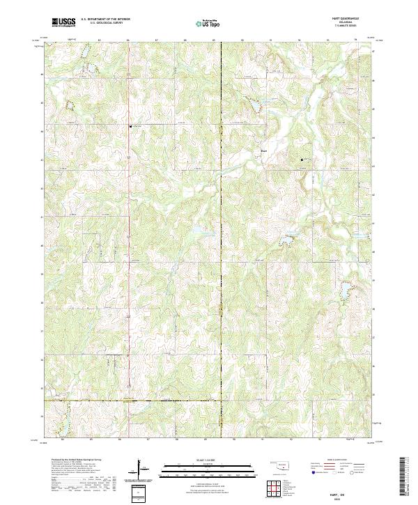 2022 Hart2022 Print · USGSThe community of Hart and the surrounding Garvin County countryside are documented here in the early twenty-first century. Researchers can locate family landmarks like Hart Cem and Corley Cem among the many forks of Canadian Sandy Cr.
 - 2022 Map of Roff South, 2022 Print
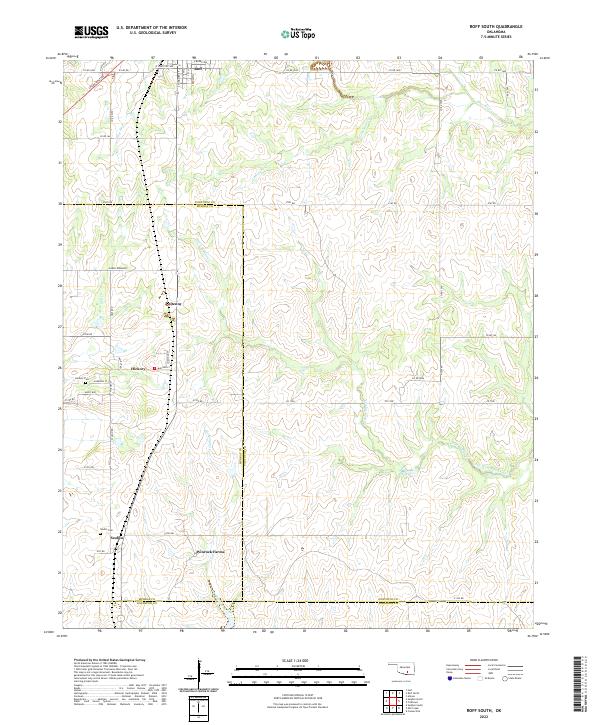 2022 Roff South2022 Print · USGSSoutheastern Oklahoma’s ranching country and the headwaters of the Blue River are detailed in this recent survey. Local historians and genealogists can trace family roots through the rural settlements of Scullin and Hickory, as well as the Winrock Farms estate.
 - 2022 Map of Ada, 2022 Print
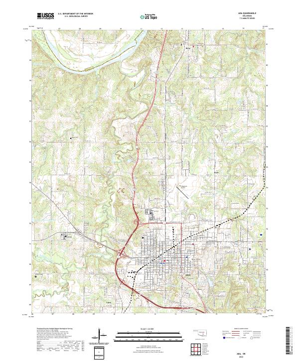 2022 Ada2022 Print · USGSThe city of Ada and its surrounding Pontotoc County landscape are shown in modern detail during the early 2020s. Genealogists and historians can trace institutional roots at East Central University or locate family sites at Old Ada Cem and Athens Cem.
 - 2022 Map of Ahloso, 2022 Print
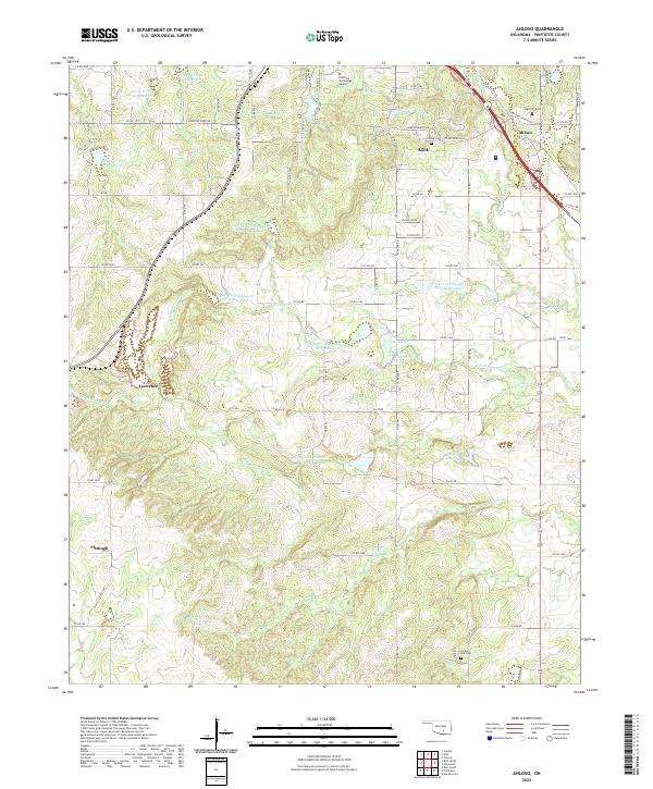 2022 Ahloso2022 Print · USGSSoutheast of Ada in the 2020s, this area shows a landscape of cattle ranching and water management. Researchers can trace family sites near High Hill Cem and Hickory Hill Cem, or locate landmarks like the Pontotoc Technology Center.
 - 2022 Map of Stonewall, 2022 Print
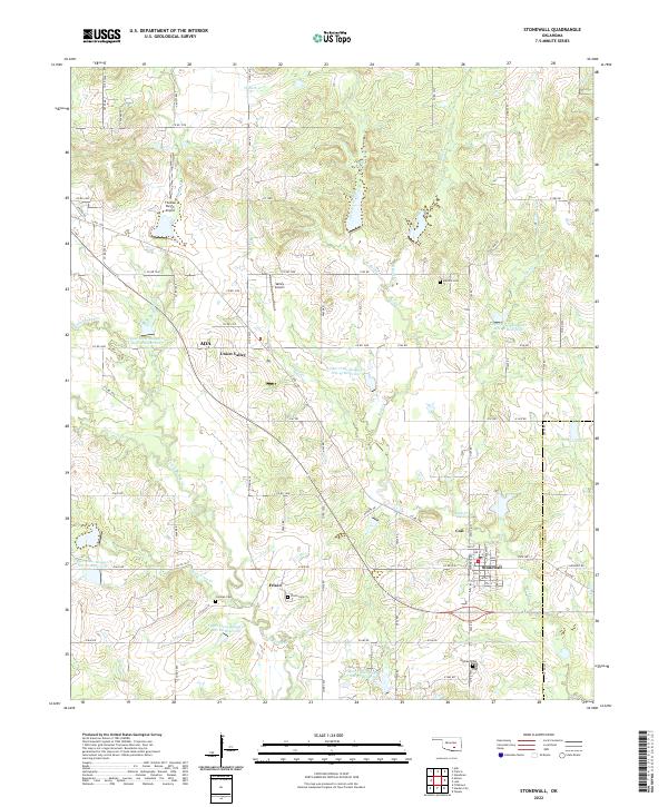 2022 Stonewall2022 Print · USGSStonewall and the rural communities of Pontotoc County appear here in the early twenty-first century, showing a landscape defined by small-town life and flood-control reservoirs. Researchers can locate family landmarks like Cockran Cem and Frisco Cem or trace the winding paths of Owl Cr and Rhoda Cr.
 - 2022 Map of Steedman, 2022 Print
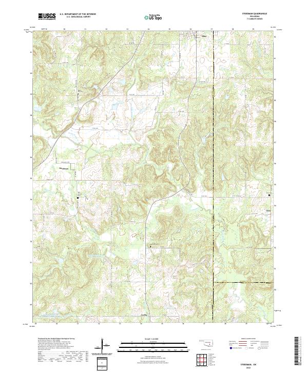 2022 Steedman2022 Print · USGSThe rural landscape of Pontotoc and Coal counties comes into focus in this recent survey. Local researchers can locate family burial grounds like Red Springs Cem and trace the winding courses of Muddy Boggy Cr near Steedman.
 - 2022 Map of Stratford, 2022 Print
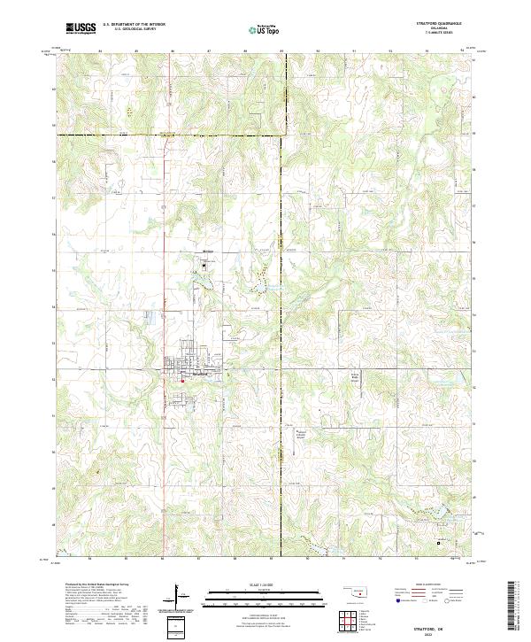 2022 Stratford2022 Print · USGSThe town of Stratford and the settlement of McGee are captured here in the early twenty-first century as part of a tri-county agricultural landscape. Researchers can trace family sites at McGee Cem and Midland Cem or explore the network of local reservoirs like Sandy Cr Site 28 Reservoir.
 - 2022 Map of Sasakwa, 2022 Print
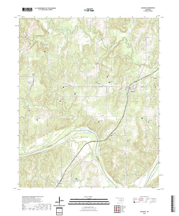 2022 Sasakwa2022 Print · USGSSeminole and Pontotoc counties are shown in this contemporary study of south-central Oklahoma. Genealogists and historians can locate numerous local landmarks like Old Mission Cemetery, Spring Baptist Church/Cem, and Sasakwa.
 - 2022 Map of Roff North, 2022 Print
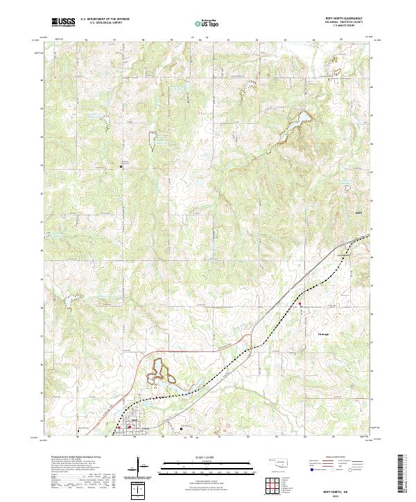 2022 Roff North2022 Print · USGSPontotoc County is shown here in the early twenty-first century, centered on the historic rail-and-road connections of the southern plains. Researchers can locate family heritage sites like Lightning Ridge Cem or trace the headwaters of the Blue River and Canadian Sandy Cr.
 - 2022 Map of Francis, 2022 Print
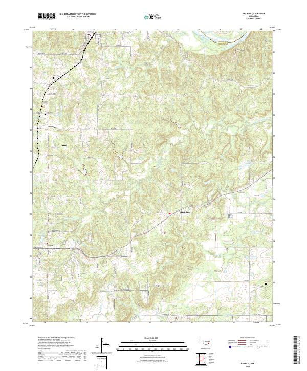 2022 Francis2022 Print · USGSThe rural landscapes of northern Pontotoc County are captured in this recent survey, showcasing the enduring settlement patterns around Francis and Happyland. Genealogists can locate several family landmarks and burial sites, including Fivemile Cem, Oakman Cem, and Allison Cem.
 - 2022 Map of Lula, 2022 Print
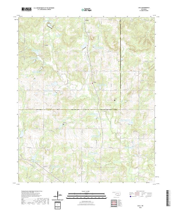 2022 Lula2022 Print · USGSCoal and Pontotoc Counties are captured in the early 2020s, showing a rural landscape defined by flood control reservoirs and long-standing small communities. Researchers can locate the Lula Cem near Lula or trace the drainage of Bois d'Arc Cr and Bully Cr.
 - 2022 Map of Konawa, 2022 Print
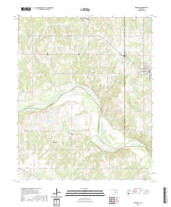 2022 Konawa2022 Print · USGSCentering on the tri-county borderlands of Oklahoma, this survey reveals the rural landscape north of the Canadian River during the early 2020s. Genealogists can locate several remote burial grounds including Sacred Heart Sisters Cem, Violet Springs Cem, and Vista Cem.
 - 2022 Map of Harden City, 2022 Print
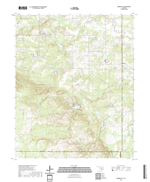 2022 Harden City2022 Print · USGSPontotoc and Coal counties show a landscape of rural settlements and managed water basins in the early twenty-first century. Researchers can trace family history at Atkins Cem and Jesse Cem or locate landmarks like Gobbler Knob and Harden City.
 - 2022 Map of Fittstown, 2022 Print
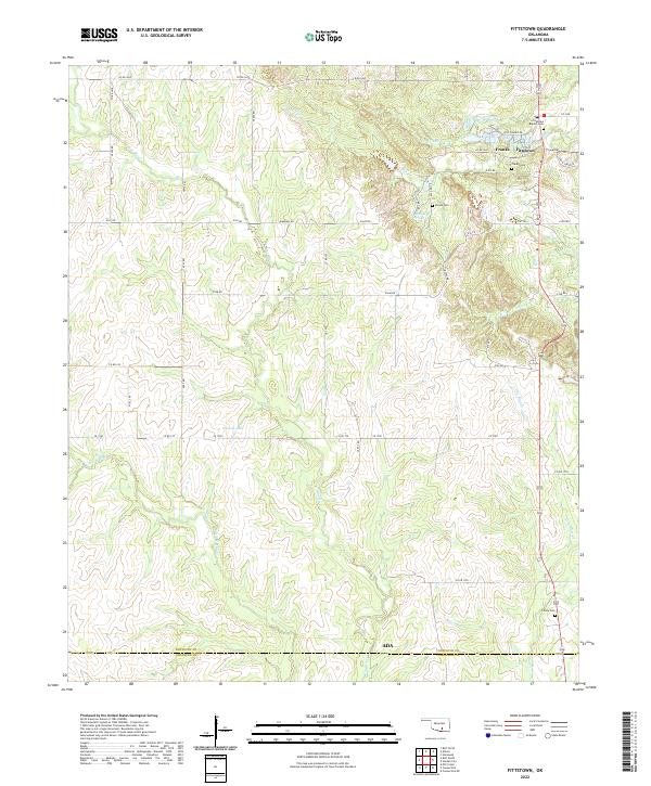 2022 Fittstown2022 Print · USGSSoutheast Oklahoma at the start of the 2020s reveals a landscape of rural townships and winding river valleys near the Johnston County line. Genealogists and local historians can trace legacy sites like Fittstown Baptist Cem, Franks Cem, and the waters of Byrds Mill Spring.
 - 2022 Map of Vanoss, 2022 Print
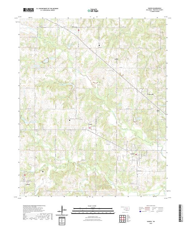 2022 Vanoss2022 Print · USGSThe rural communities of western Pontotoc County appear here in recent decades, showing a landscape defined by ranch roads and tributary creeks. Researchers can locate family landmarks such as Moss Cem, Box X Cem, and the small settlements of Oil Center and Pickett.
 - 2022 Map of Asher, 2022 Print
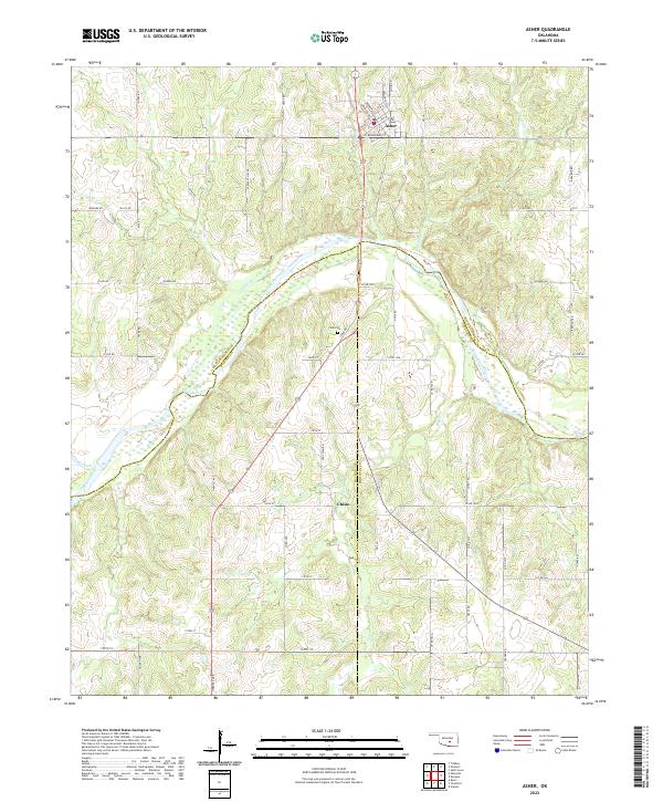 2022 Asher2022 Print · USGSThe rural crossing at Asher and the Canadian River valley are captured here in the early twenty-first century. Researchers can trace family sites near Chism or locate the Cook Cem tucked among the hills and seasonal creeks like Julian Cr.
 - 2022 Map of Allen, 2022 Print
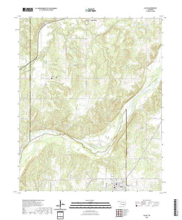 2022 Allen2022 Print · USGSThe tri-county borderlands of Oklahoma come into focus in this contemporary survey of the river-cut landscape around Allen and Spaulding. Researchers can trace local heritage through sites like Tiger Family Cem and Greenleaf Cem along the Canadian River.
 - 2022 Map of Vamoosa, 2022 Print
 2022 Vamoosa2022 Print · USGSSeminole and Pontotoc counties are captured here in the early twenty-first century, centered on the waters of Lake Konawa. Researchers can trace local lineage through numerous sites like High Springs Indian Cem, Vamoosa Cem, and the settlement of Tyrola.
 - 2022 Map of Sulphur North, 2022 Print
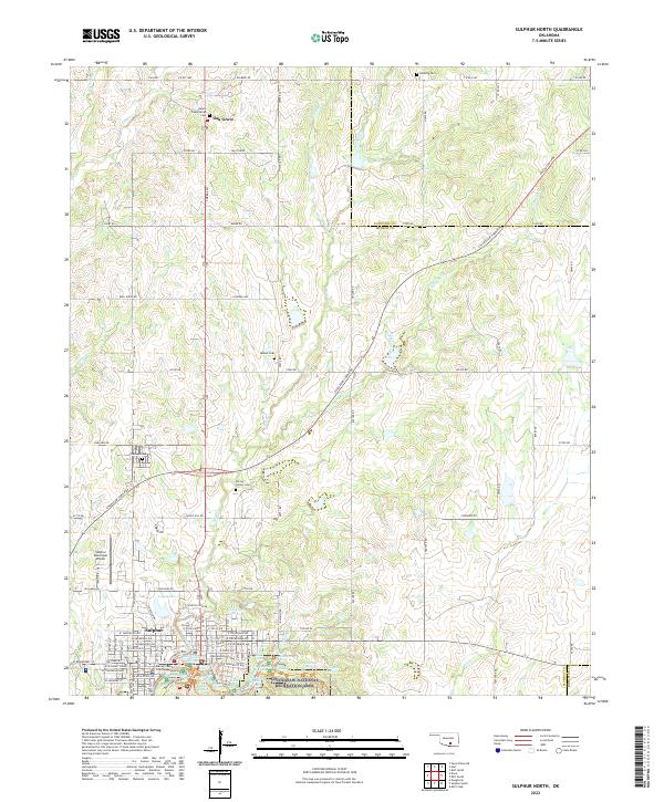 2022 Sulphur North2022 Print · USGSSulphur and the surrounding Murray County countryside are captured here in a moment of modern detail, showing the deep connection between the town and its spring-fed waters. Genealogists can trace family locations through the Shirley Family Cem, Oak Grove, and the Salem Presbyterian Ch.
End of results
Showing maps 1-19 of 19
Top cities of Pontotoc County
- Ada historical maps
- Byng historical maps
- Roff historical maps
- Stonewall historical maps
- Francis historical maps
- Fitzhugh historical maps
Frequently asked questions
- What are the different types of historical maps available for Pontotoc County?
- What is the oldest map of Pontotoc County?
- Where can I purchase historical maps of Pontotoc County for my home or office?
- Where can I download high-res historical maps of Pontotoc County?
- Are there historical topographic maps available for Pontotoc County?
- Is there historical aerial imagery available for Pontotoc County?
- Where are historical maps of Pontotoc County sourced from?