2000s (21st Century) Maps of Brent, Oklahoma
Explore 20 historic maps of Brent from the 2000s (21st Century). These maps offer a rare glimpse into what life looked like during the 2000s — showing old roads, neighborhoods, homes, and landmarks that have changed or disappeared over time.
Whether you're researching your family's past, planning a metal detecting trip, or studying how Brent's landscape evolved across the 2000s, these high-resolution maps are a powerful tool for exploring the history of this region.
- Focus on a specific era: All maps on this page are from the 2000s, giving you a focused view of this time period.
- See what’s changed: Compare century-old streets, trails, and buildings to today's modern landscape using overlays and satellite layers.
- Research with precision: Use these maps for genealogy, historical research, land use analysis, or educational projects.
- View, download, or print: Maps are fully viewable online in high resolution, and can be downloaded or printed for your own records.
Start exploring Brent's history through authentic maps from the 2000s. This is your window into the past.
Brent, OK maps
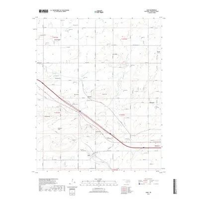
(20)- 2010 Map of Gans, 2010 Print
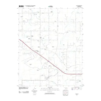 2010 Gans2010 Print · USGSCovers Brent, including Muldrow, Gans, and other nearby areas
 - 2010 Map of Muldrow SW, 2010 Print
 2010 Muldrow SW2010 Print · USGSCovers Brent, including Foreman, Stony Point, and other nearby areas
 - 2010 Map of Sallisaw, 2010 Print
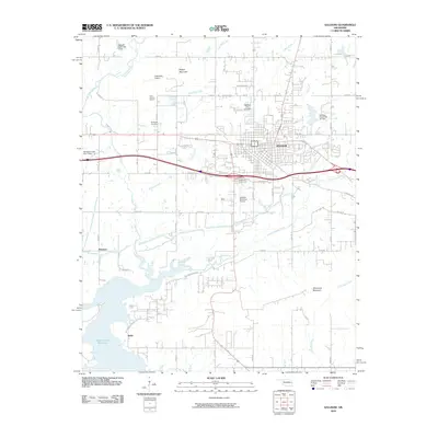 2010 Sallisaw2010 Print · USGSCovers Brent, including Sallisaw, Harrison, and other nearby areas
 - 2010 Map of Robert S Kerr Dam, 2010 Print
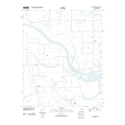
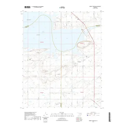
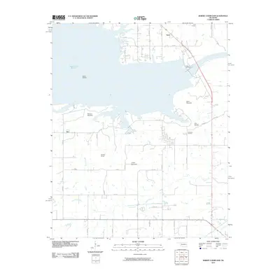 2010 Robert S Kerr Dam2010 Print · USGSCovers Brent, including Cowlington, Star, and other nearby areas
 - 2012 Map of Sallisaw, 2012 Print
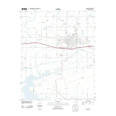 2012 Sallisaw2012 Print · USGSCovers Brent, including Sallisaw, Harrison, and other nearby areas
 - 2012 Map of Muldrow SW, 2012 Print
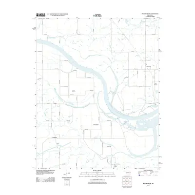 2012 Muldrow SW2012 Print · USGSCovers Brent, including Foreman, Stony Point, and other nearby areas
 - 2012 Map of Robert S Kerr Dam, 2012 Print
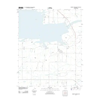 2012 Robert S Kerr Dam2012 Print · USGSCovers Brent, including Cowlington, Star, and other nearby areas
 - 2012 Map of Gans, 2012 Print
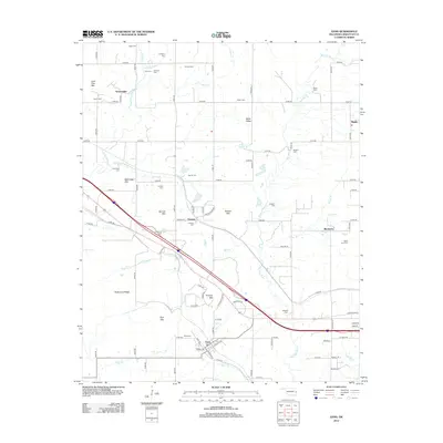 2012 Gans2012 Print · USGSCovers Brent, including Muldrow, Gans, and other nearby areas
 - 2016 Map of Muldrow SW, 2016 Print
 2016 Muldrow SW2016 Print · USGSCovers Brent, including Foreman, Stony Point, and other nearby areas
 - 2016 Map of Robert S Kerr Dam, 2016 Print
 2016 Robert S Kerr Dam2016 Print · USGSCovers Brent, including Cowlington, Star, and other nearby areas
 - 2016 Map of Sallisaw, 2016 Print
 2016 Sallisaw2016 Print · USGSCovers Brent, including Sallisaw, Harrison, and other nearby areas
 - 2016 Map of Gans, 2016 Print
 2016 Gans2016 Print · USGSCovers Brent, including Muldrow, Gans, and other nearby areas
 - 2018 Map of Gans, 2018 Print
 2018 Gans2018 Print · USGSCovers Brent, including Muldrow, Gans, and other nearby areas
 - 2018 Map of Robert S Kerr Dam, 2018 Print
 2018 Robert S Kerr Dam2018 Print · USGSCovers Brent, including Cowlington, Star, and other nearby areas
 - 2018 Map of Muldrow SW, 2018 Print
 2018 Muldrow SW2018 Print · USGSCovers Brent, including Foreman, Stony Point, and other nearby areas
 - 2019 Map of Sallisaw, 2019 Print
 2019 Sallisaw2019 Print · USGSCovers Brent, including Sallisaw, Harrison, and other nearby areas
 - 2022 Map of Gans, 2022 Print
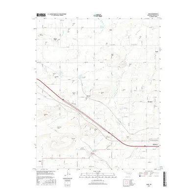
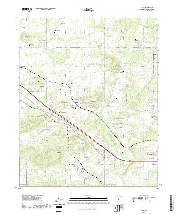 2022 Gans2022 Print · USGSSequoyah County settlements and cemeteries are well-documented in this recent survey of the Oklahoma landscape. Genealogists can trace family sites at Old Seabolt Cemetery and Mitchell Cemetery near Gans and Blackjack.
 - 2022 Map of Robert S Kerr Dam, 2022 Print
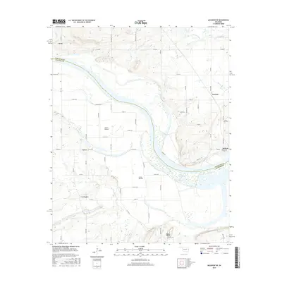
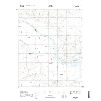
 2022 Robert S Kerr Dam2022 Print · USGSThe river valleys and reservoirs of Haskell, Sequoyah, and Le Flore counties are captured here in the early twenty-first century. Researchers can trace family history through several local burial grounds, including Star Cem and Cowlington Cem, or explore the terrain around Short Mtn.
 - 2022 Map of Muldrow SW, 2022 Print
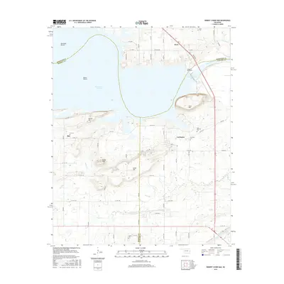
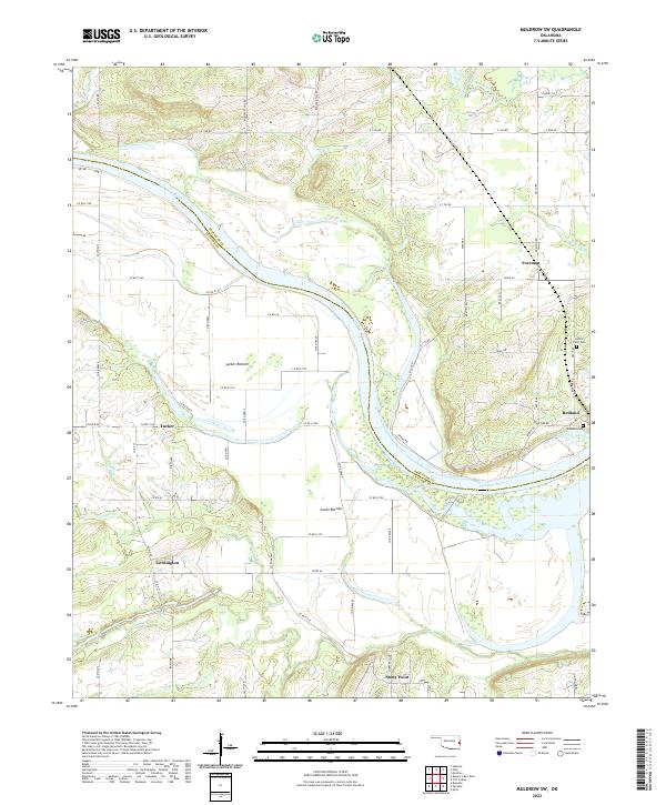 2022 Muldrow SW2022 Print · USGSLe Flore and Sequoyah counties meet along the winding banks of the Arkansas River in the early 2020s. Genealogists and local historians can trace the rural landscape surrounding Cowlington, Stony Point, and the Redland Cem.
 - 2022 Map of Sallisaw, 2022 Print
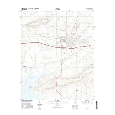
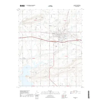
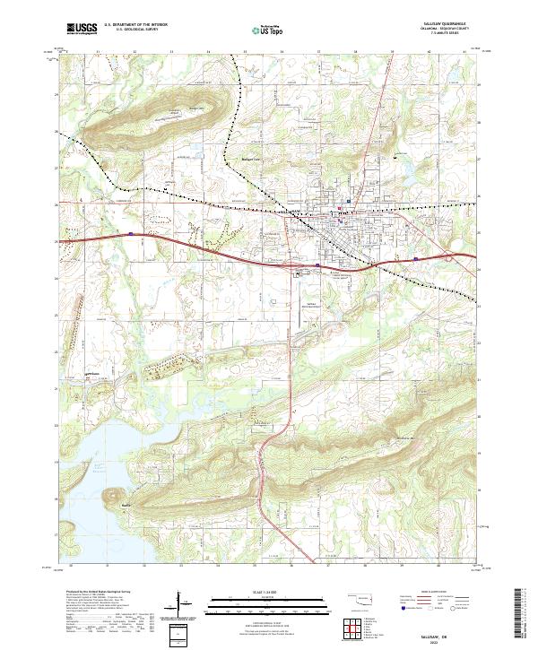 2022 Sallisaw2022 Print · USGSSallisaw and the surrounding Oklahoma valley are shown here in 2022, framed by the heights of Badger Mountain and Wildhorse Mountain. Genealogists can trace family plots at Buffington Cem and Duncan Cem or locate the historic Sequoyah County Courthouse.
End of results
Showing maps 1-20 of 20
Top cities near Brent
- Poteau historical maps
- Sallisaw historical maps
- Muldrow historical maps
- Spiro historical maps
- Vian historical maps
- Vian historical maps
See more
Frequently asked questions
- What are the different types of historical maps available for Brent?
- What is the oldest map of Brent?
- Where can I purchase historical maps of Brent for my home or office?
- Where can I download high-res historical maps of Brent?
- Are there historical topographic maps available for Brent?
- Is there historical aerial imagery available for Brent?
- Where are historical maps of Brent sourced from?