Old Maps of Brent, Oklahoma for Hiking & Exploration
Hike through history with 32 historic maps of Brent. Explore old trails, ghost towns, and forgotten backroads — perfect for outdoor adventurers and local explorers.
- Rediscover forgotten places: Map out old mining camps, roads, and footpaths that no longer exist on modern maps.
- Layer with modern tools: Combine with LiDAR or satellite views to plan hikes through historical terrain.
- Made for exploration: Popular among hikers, overlanders, and local history lovers.
Use these maps to find adventure and explore the hidden past of Brent.
Brent, OK maps
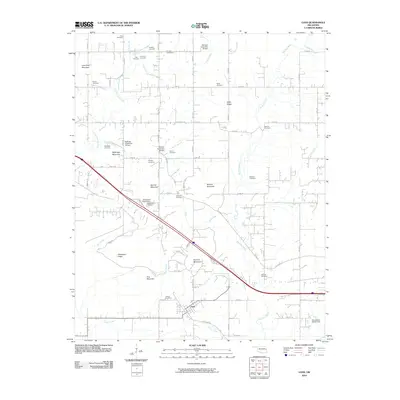
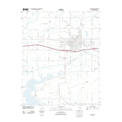
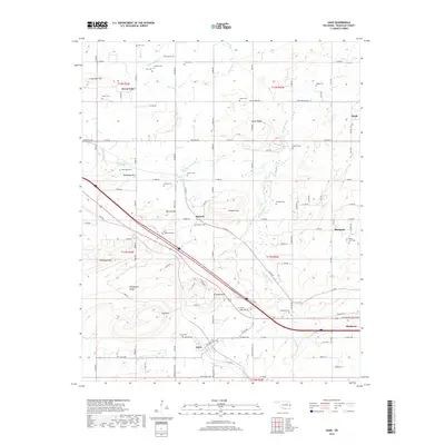
(32)- 1900 Map of Sallisaw
 1900 Sallisaw1900 Print · USGSThe Cherokee and Choctaw Nations are divided by the winding Arkansas River at the turn of the century. Genealogists can trace early tribal-era settlements like Bokoshe, Tamaha, and Oak Lodge along the routes of the Kansas City Southern R. R.2 unique versions available
 - 1911 Map of Sallisaw
 1911 Sallisaw1911 Print · USGSEastern Oklahoma at the turn of the century was a land of expanding railroads and ancient river crossings along the Arkansas River. Genealogists and historians can trace the early settlement of the region through dozens of landmarks like Foreman Ferry, McCurtain, and the Badger Lee School.3 unique versions available
 - 1946 Map of Fort Smith
 1946 Fort Smith1946 Print · USGSThe Arkansas-Oklahoma borderlands appear here in the mid-forties, as new reservoirs began to transform the river valleys. Genealogists and historians can trace rail-served towns from Muskogee to Fort Smith and locate landmarks like Camp Chaffee.
 - 1965 Map of Fort Smith
 1965 Fort Smith1965 Print · USGSEastern Oklahoma and Western Arkansas are captured here during a period of massive post-war change as new reservoirs reshaped the river valleys. Genealogists and historians can trace the rail networks of the Midland Valley RR and find established communities like Stilwell, Sallisaw, and Stigler.
 - 1966 Map of Gans, 1967 Print
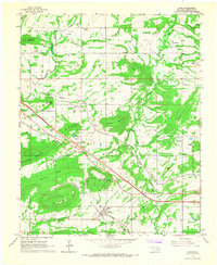 1966 Gans1967 Print · USGSSequoyah County in the mid-sixties shows a landscape of small farming communities and family homesteads nestled between prominent ridges. Genealogists can trace family names through numerous burial sites like Seabolt Cem and Gans Cem or locate the Central High Sch.2 unique versions available
 - 1966 Map of Muldrow SW, 1968 Print
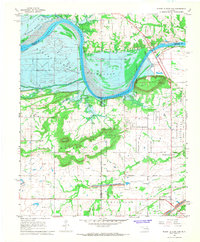
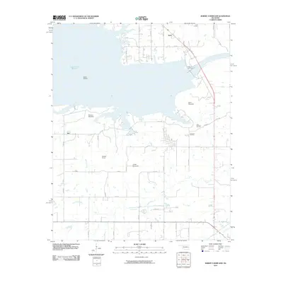
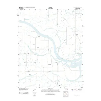
 1966 Muldrow SW1968 Print · USGSThe river-bottom country of eastern Oklahoma is captured here in the mid-1960s as industrial and agricultural patterns converge along the Arkansas River. Researchers can trace the path of the Kansas City Southern railroad through Foreman or locate family sites at Center Point Cem and Stony Point.3 unique versions available
 - 1967 Map of Fort Smith
 1967 Fort Smith1967 Print · USGSThe Arkansas River valley and the foothills of the Ozarks are captured here during a period of significant military and industrial activity. Researchers can trace the sprawling bounds of Camp Chaffee and Camp Gruber or locate vanished rail stops along the Midland Valley RR.
 - 1967 Map of Sallisaw, 1968 Print
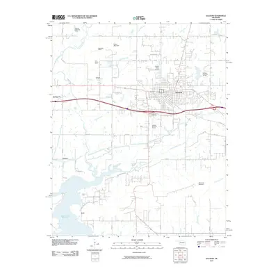
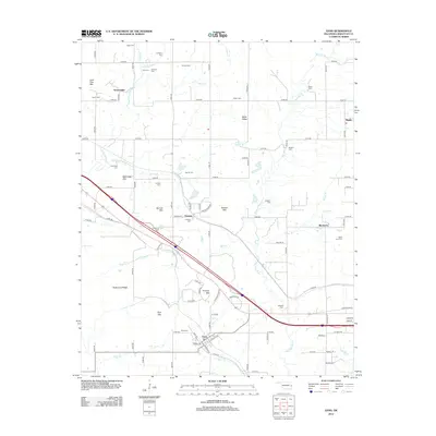
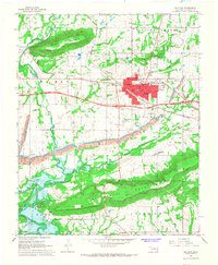 1967 Sallisaw1968 Print · USGSSallisaw and the surrounding Oklahoma river bottoms are captured here during a period of significant change in the late sixties. Researchers can trace the impact of the Robert S. Kerr Reservoir on the local landscape and locate historic sites like Buffington Cem and Badger Lee Ch.3 unique versions available
 - 1967 Map of Robert S Kerr Dam, 1968 Print
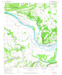
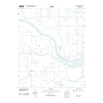
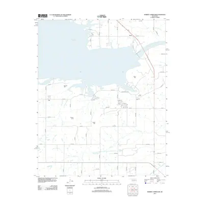
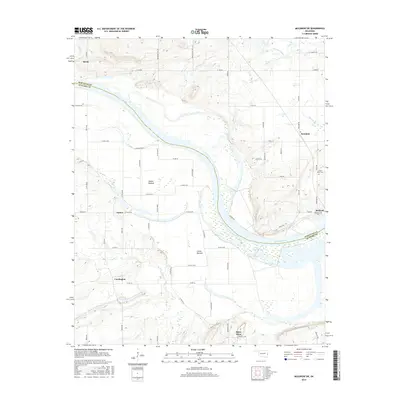
 1967 Robert S Kerr Dam1968 Print · USGSIn the late 1960s, the Arkansas River valley in Haskell and Le Flore counties underwent a massive change as the Robert S Kerr Reservoir was being filled. Researchers can trace the original landscape of Cowlington and Star or locate family sites like Short Mountain Cem and Brent Cem near the new shoreline.3 unique versions available
 - 1970 Map of Muldrow SW
 1970 Muldrow SW1970 Print · USGSLe Flore County in the late seventies is captured in this orthophoto survey, showcasing the winding Arkansas River and its rural borderlands. Researchers can trace land divisions near Tucker or follow the paths of Onion Creek and Cache Creek as they weave through the valley.
 - 1978 Map of Fort Smith, 1979 Print
 1978 Fort Smith1979 Print · USGSThe Arkansas-Oklahoma borderlands in the late seventies show a landscape shaped by massive river reservoirs and sprawling military reservations. Trace the historic rail lines of the Missouri Pacific RR and locate regional landmarks like Fort Gibson, Tenkiller Ferry Lake, and Barling.2 unique versions available
 - 1978 Map of Fort Smith, 1979 Print
 1978 Fort Smith1979 Print · USGSThe Arkansas-Oklahoma borderlands in the late seventies show a region defined by river navigation, coal mining, and military expansion. You can trace industrial footprints like the Strip Mines and the vast Fort Chaffee Military Reservation.2 unique versions available
 - 2010 Map of Gans, 2010 Print
 2010 Gans2010 Print · USGSCovers Brent, including Muldrow, Gans, and other nearby areas
 - 2010 Map of Muldrow SW, 2010 Print
 2010 Muldrow SW2010 Print · USGSCovers Brent, including Foreman, Stony Point, and other nearby areas
 - 2010 Map of Sallisaw, 2010 Print
 2010 Sallisaw2010 Print · USGSCovers Brent, including Sallisaw, Harrison, and other nearby areas
 - 2010 Map of Robert S Kerr Dam, 2010 Print
 2010 Robert S Kerr Dam2010 Print · USGSCovers Brent, including Cowlington, Star, and other nearby areas
 - 2012 Map of Sallisaw, 2012 Print
 2012 Sallisaw2012 Print · USGSCovers Brent, including Sallisaw, Harrison, and other nearby areas
 - 2012 Map of Muldrow SW, 2012 Print
 2012 Muldrow SW2012 Print · USGSCovers Brent, including Foreman, Stony Point, and other nearby areas
 - 2012 Map of Robert S Kerr Dam, 2012 Print
 2012 Robert S Kerr Dam2012 Print · USGSCovers Brent, including Cowlington, Star, and other nearby areas
 - 2012 Map of Gans, 2012 Print
 2012 Gans2012 Print · USGSCovers Brent, including Muldrow, Gans, and other nearby areas
 - 2016 Map of Muldrow SW, 2016 Print
 2016 Muldrow SW2016 Print · USGSCovers Brent, including Foreman, Stony Point, and other nearby areas
 - 2016 Map of Robert S Kerr Dam, 2016 Print
 2016 Robert S Kerr Dam2016 Print · USGSCovers Brent, including Cowlington, Star, and other nearby areas
 - 2016 Map of Sallisaw, 2016 Print
 2016 Sallisaw2016 Print · USGSCovers Brent, including Sallisaw, Harrison, and other nearby areas
 - 2016 Map of Gans, 2016 Print
 2016 Gans2016 Print · USGSCovers Brent, including Muldrow, Gans, and other nearby areas
 - 2018 Map of Gans, 2018 Print
 2018 Gans2018 Print · USGSCovers Brent, including Muldrow, Gans, and other nearby areas
Showing maps 1-25 of 32
Top cities near Brent
- Poteau historical maps
- Sallisaw historical maps
- Muldrow historical maps
- Spiro historical maps
- Vian historical maps
- Vian historical maps
See more
Frequently asked questions
- What are the different types of historical maps available for Brent?
- What is the oldest map of Brent?
- Where can I purchase historical maps of Brent for my home or office?
- Where can I download high-res historical maps of Brent?
- Are there historical topographic maps available for Brent?
- Is there historical aerial imagery available for Brent?
- Where are historical maps of Brent sourced from?