
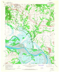
1967 Map of Robert S Kerr Dam
USGS Topo · Published 1968About this map
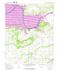
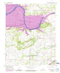
Robert S Kerr Reservoir dominates the landscape as it takes shape along the Arkansas River, with blue hatching indicating the extensive areas marked for submergence. This era of transformation is further evident in the roads marked Under Construction near the riverbanks. The rugged terrain of the Sans Bois Mountain range and Short Mountain rises sharply above the floodplain, sheltering older rural foundations. Settled communities like Cowlington and Star are visible alongside several family and community landmarks such as Cowlington Cem and Short Mountain Cem. The local economy of the late 1960s is represented by numerous Gas Wells, Strip Mines, and local Quarries dotting the hills. The map also records the winding paths of Sans Bois Creek and Cache Creek before they meet the rising waters of the new reservoir.
Find a feature on this map
28 named features on this map. Tap any name to fly to it.
Don’t see what you’re looking for? This feature index may not catch every label — zoom into the map to look around manually.
Map Details
Editions of this 1967 Robert S Kerr Dam Map
3 editions found
Other maps of this area

1900 · Sallisaw
USGS Topo · 1:125,000

1911 · Sallisaw
USGS Topo · 1:125,000

1946 · Fort Smith
USGS Topo · 1:250,000

1965 · Fort Smith
USGS Topo · 1:250,000

1966 · Gans
USGS Topo · 1:24,000

1966 · Muldrow SW
USGS Topo · 1:24,000

1967 · Fort Smith
USGS Topo · 1:250,000
1967 · Keota
USGS Topo · 1:24,000
1967 · Sallisaw
USGS Topo · 1:24,000
1967 · Vian
USGS Topo · 1:24,000