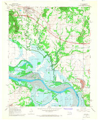
1967 Map of Vian
USGS Topo · Published 1968About this map
The town of Vian serves as a northern anchor in this mid-century landscape, where the Missouri Pacific railroad corridor and a new interstate highway construction project cut across the northern foothills. To the south, the terrain shifts dramatically as the Arkansas River bottoms prepare for a major transformation. Blue hatching on the map indicates the significant acreage destined to be submerged by the Robert S. Kerr Reservoir, a project that would soon alter the geography of Sadie and the low-lying Sans Bois Bottom.
Find a feature on this map
29 named features on this map. Tap any name to fly to it.
Don’t see what you’re looking for? This feature index may not catch every label — zoom into the map to look around manually.
Map Details
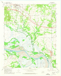
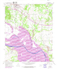
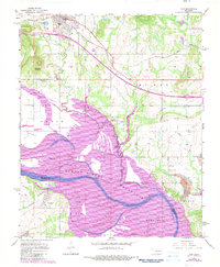
Editions of this 1967 Vian Map
4 editions found
Other maps of this area

1898 · Tahlequah
USGS Topo · 1:125,000

1900 · Sansbois
USGS Topo · 1:125,000

1900 · Sallisaw
USGS Topo · 1:125,000

1901 · Muscogee
USGS Topo · 1:125,000

1901 · Tahlequah
USGS Topo · 1:125,000

1905 · Muscogee
USGS Topo · 1:125,000

1905 · Tahlequah
USGS Topo · 1:125,000

1909 · Sans Bois
USGS Topo · 1:125,000

1911 · Sallisaw
USGS Topo · 1:125,000

1911 · Sansbois
USGS Topo · 1:125,000