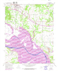
1967 Map of Vian
USGS Topo · Published 1979About this map
Vian sits at the northern edge of this landscape, a hub along the Missouri Pacific railroad during a period of significant hydrological change. The southern half of the map is dominated by the Robert S Kerr Reservoir, which has overtaken much of the Arkansas River bottoms. Despite the rising waters, remnants of the older riverine geography remain visible in labels like Sandtown Bottom and Sans Bois Bottom. Cultural landmarks are scattered throughout the hills and lowlands, including the Drake Stand Cem and churches like Mt Olive Ch and Bethel Ch. To the south, the settlement of Tamaha is noted near its own Tamaha Cem, while a Strip Mine near the southwestern corner points to the area's industrial activity. The map provides a detailed view of the terrain before the full impact of the reservoir project, tracing the path of Vian Creek as it feeds into the basin.
Find a feature on this map
33 named features on this map. Tap any name to fly to it.
Don’t see what you’re looking for? This feature index may not catch every label — zoom into the map to look around manually.
Map Details
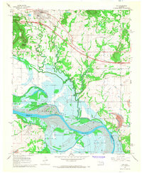
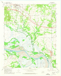
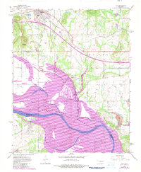
Editions of this 1967 Vian Map
4 editions found
Other maps of this area

1898 · Tahlequah
USGS Topo · 1:125,000

1900 · Sansbois
USGS Topo · 1:125,000

1900 · Sallisaw
USGS Topo · 1:125,000

1901 · Muscogee
USGS Topo · 1:125,000

1901 · Tahlequah
USGS Topo · 1:125,000

1905 · Muscogee
USGS Topo · 1:125,000

1905 · Tahlequah
USGS Topo · 1:125,000

1909 · Sans Bois
USGS Topo · 1:125,000

1911 · Sallisaw
USGS Topo · 1:125,000

1911 · Sansbois
USGS Topo · 1:125,000