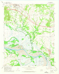
1967 Map of Vian
USGS Topo · Published 1975About this map
Vian sits at the northern edge of this survey, where the Missouri Pacific railroad cuts through the terrain. The landscape is defined by the significant transition of the Arkansas River into the Robert S. Kerr Reservoir, with blue hatching indicating areas destined to be submerged as the reservoir reached its normal pool elevation. This mapping project captures the river bottomlands before their total transformation, preserving the locations of Sandtown Bottom and Sans Bois Bottom.
Find a feature on this map
33 named features on this map. Tap any name to fly to it.
Don’t see what you’re looking for? This feature index may not catch every label — zoom into the map to look around manually.
Map Details
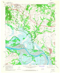
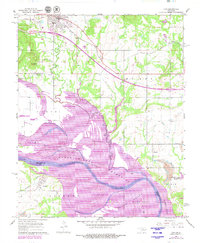
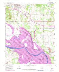
Editions of this 1967 Vian Map
4 editions found
Other maps of this area

1898 · Tahlequah
USGS Topo · 1:125,000

1900 · Sansbois
USGS Topo · 1:125,000

1900 · Sallisaw
USGS Topo · 1:125,000

1901 · Muscogee
USGS Topo · 1:125,000

1901 · Tahlequah
USGS Topo · 1:125,000

1905 · Muscogee
USGS Topo · 1:125,000

1905 · Tahlequah
USGS Topo · 1:125,000

1909 · Sans Bois
USGS Topo · 1:125,000

1911 · Sallisaw
USGS Topo · 1:125,000

1911 · Sansbois
USGS Topo · 1:125,000