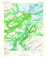
1967 Map of Keota
USGS Topo · Published 1968About this map
Robert S. Kerr Reservoir dominates this landscape, with blue hatching indicating large swaths of terrain to be submerged as the project reached its normal pool elevation. This transition is documented during the late 1960s, capturing the Arkansas River valley before its permanent transformation. The town of Keota stands as the primary hub, supported by the Midland Valley RR which skirts the southern slopes of Sans Bois Mountain. Local history and genealogy are anchored by several markers including Keota Cem, Little Sans Bois Cem, and churches like New Hope Ch. The land's industrial character is evident through numerous Strip Mines and Quarries carved into the ridges of Bellow Mountain and Red Hill. Smaller settlements such as Shoat and Lone Elm appear alongside agricultural zones in Sadie Bottom and Sans Bois Creek, illustrating the diverse economic uses of this Haskell County region.
Find a feature on this map
29 named features on this map. Tap any name to fly to it.
Don’t see what you’re looking for? This feature index may not catch every label — zoom into the map to look around manually.
Map Details
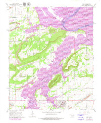
Editions of this 1967 Keota Map
2 editions found
Other maps of this area

1900 · Sansbois
USGS Topo · 1:125,000

1900 · Sallisaw
USGS Topo · 1:125,000

1909 · Sans Bois
USGS Topo · 1:125,000

1911 · Sallisaw
USGS Topo · 1:125,000

1911 · Sansbois
USGS Topo · 1:125,000

1946 · Fort Smith
USGS Topo · 1:250,000

1962 · Stigler East
USGS Topo · 1:24,000
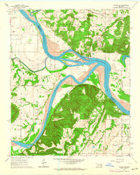
1963 · Stigler NE
USGS Topo · 1:24,000
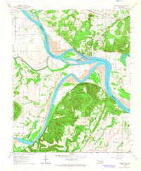
1964 · Stigler NE
USGS Topo · 1:24,000

1965 · Fort Smith
USGS Topo · 1:250,000