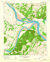
1963 Map of Stigler NE
USGS Topo · Published 1964About this map
The Arkansas River and Canadian River converge in this eastern Oklahoma landscape, creating a complex network of waterways and fertile floodplains including Hsaw Bottom and Sadie Bottom. The terrain is defined by dramatic elevations like Harris Mountain and Round Mountain, where the Round Mountain Ch overlooks the valley. This mid-century survey captures a rural landscape where family history is deeply embedded in the land, evidenced by numerous small burial grounds such as Starr Cem, Wilkerson Cem, and Hefley Cem. Transportation during this era relied on the Missouri Pacific railroad, which serviced local industry through Upson Siding. Settlement patterns follow the river bends and lower ridges, anchored by local centers like McIntosh Chapel and Stony Point Ch, while the Illinois R enters from the north to complete the regional hydrography.
Find a feature on this map
44 named features on this map. Tap any name to fly to it.
Don’t see what you’re looking for? This feature index may not catch every label — zoom into the map to look around manually.
Map Details
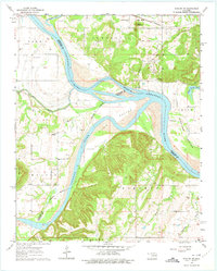
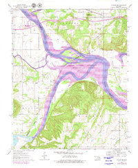
Editions of this 1963 Stigler NE Map
3 editions found
Other maps of this area

1898 · Tahlequah
USGS Topo · 1:125,000

1900 · Sansbois
USGS Topo · 1:125,000

1900 · Sallisaw
USGS Topo · 1:125,000

1901 · Muscogee
USGS Topo · 1:125,000

1901 · Tahlequah
USGS Topo · 1:125,000

1905 · Muscogee
USGS Topo · 1:125,000

1905 · Tahlequah
USGS Topo · 1:125,000

1909 · Sans Bois
USGS Topo · 1:125,000

1911 · Sallisaw
USGS Topo · 1:125,000

1911 · Sansbois
USGS Topo · 1:125,000