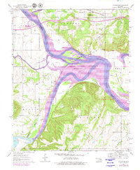
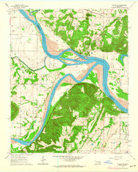
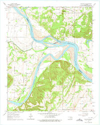
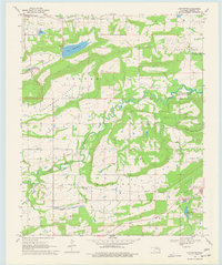
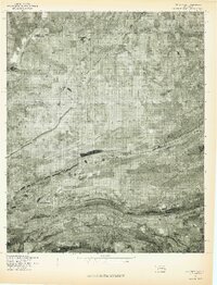
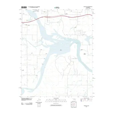
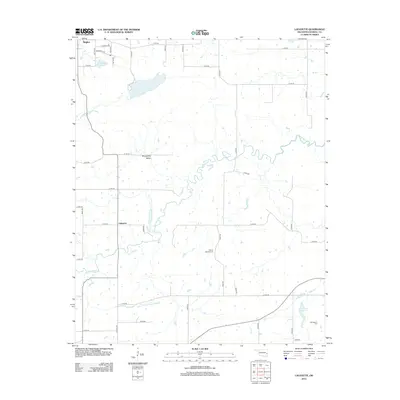
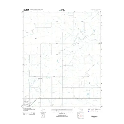
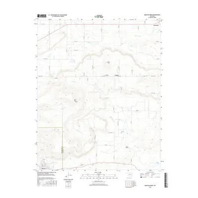
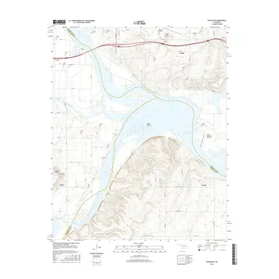
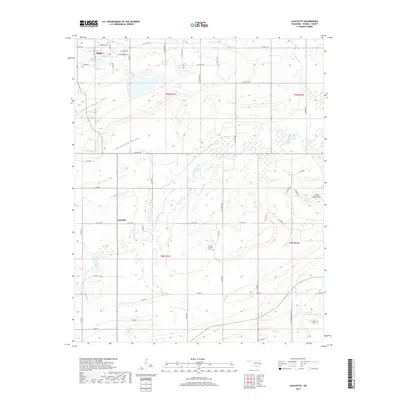
1963 Map of Stigler NE
USGS Topo · Published 1979About this map
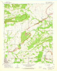
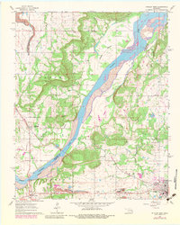
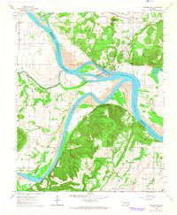
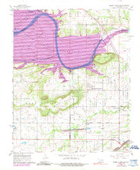
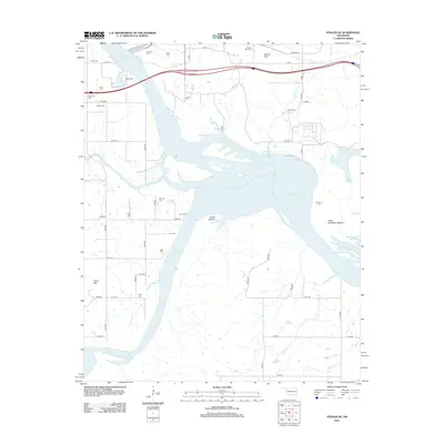
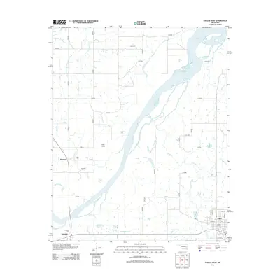
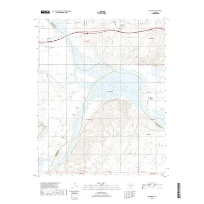
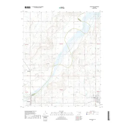
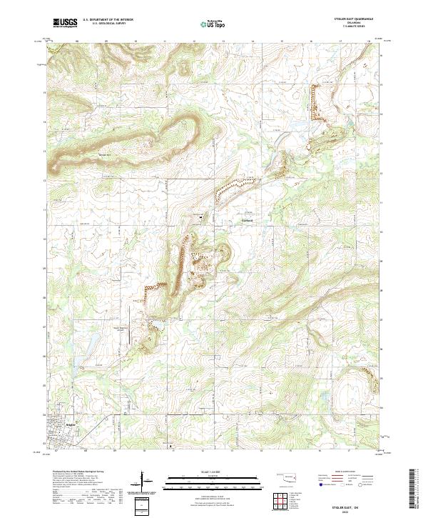
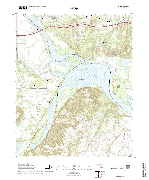
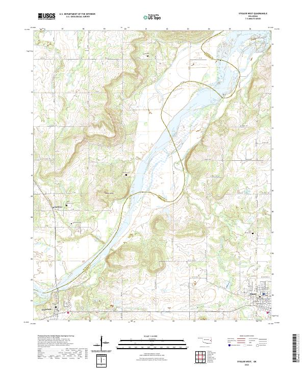
The confluence of the Arkansas River, Canadian River, and Illinois River dominates this landscape, showing the transformative impact of the Robert S Kerr Reservoir. This 1963 survey, updated with 1979 revisions, documents the submerged and shifting shorelines where Hisaw Bottom and Upper Sandtown Bottom meet these major waterways. The intricate boundary lines between Sequoyah, Muskogee, and Haskell counties follow the original river channels, even as the reservoir altered the terrain.
Find a feature on this map
44 named features on this map. Tap any name to fly to it.
Don’t see what you’re looking for? This feature index may not catch every label — zoom into the map to look around manually.
Map Details
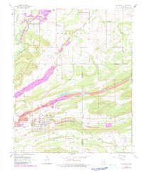
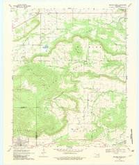
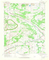
Editions of this 1963 Stigler NE Map
3 editions found
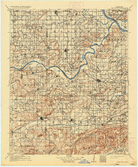
Historical Maps of Tamaha Through Time
47 maps found

1909 Sans Bois
Haskell County, OK
1911 Sans Bois
Haskell County, OK
1962 Stigler East
Haskell County, OK
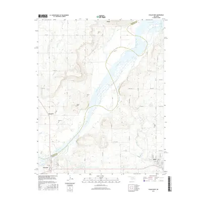
1962 Stigler West
Haskell County, OK
1963 Stigler NE
Haskell County, OK
1964 Stigler NE
Haskell County, OK
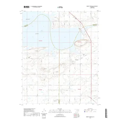
1967 Robert S Kerr Dam
Haskell County, OK
1968 Lafayette
Haskell County, OK
1968 Mc Curtain
Haskell County, OK
1969 Quinton North
Haskell County, OK
1969 Sans Bois
Haskell County, OK
1977 Mc Curtain
Haskell County, OK
2010 Lafayette
Haskell County, OK
2010 Quinton North
Haskell County, OK
2010 Robert S Kerr Dam
Haskell County, OK
2010 Sans Bois
Haskell County, OK
2010 Stigler East
Haskell County, OK
2010 Stigler NE
Haskell County, OK
2010 Stigler West
Haskell County, OK
2012 Lafayette
Haskell County, OK
2012 Quinton North
Haskell County, OK
2012 Robert S Kerr Dam
Haskell County, OK
2012 Sans Bois
Haskell County, OK
2012 Stigler East
Haskell County, OK
2012 Stigler NE
Haskell County, OK
2012 Stigler West
Haskell County, OK
2016 Lafayette
Haskell County, OK
2016 Quinton North
Haskell County, OK
2016 Robert S Kerr Dam
Haskell County, OK
2016 Sans Bois
Haskell County, OK
2016 Stigler East
Haskell County, OK
2016 Stigler NE
Haskell County, OK
2016 Stigler West
Haskell County, OK
2018 Quinton North
Haskell County, OK
2018 Robert S Kerr Dam
Haskell County, OK
2018 Sans Bois
Haskell County, OK
2018 Stigler East
Haskell County, OK
2018 Stigler NE
Haskell County, OK
2018 Stigler West
Haskell County, OK
2019 Lafayette
Haskell County, OK
2022 Lafayette
Haskell County, OK
2022 Quinton North
Haskell County, OK

2022 Robert S Kerr Dam
Haskell County, OK
2022 Sans Bois
Haskell County, OK
2022 Stigler East
Haskell County, OK
2022 Stigler NE
Haskell County, OK
2022 Stigler West
Haskell County, OK