
1966 Map of Muldrow SW
USGS Topo · Published 1968About this map
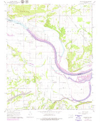
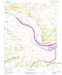
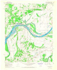
The Arkansas River snakes through the heart of this mid-1960s landscape, defining the boundary between Sequoyah and Le Flore counties. The area is characterized by fertile lowlands like Tucker Bottom and Spiro Bottom, while industrial activity is evident in the Strip Mines and scattered quarries found in the southern reaches of Cowlington Township. These resource-rich bottoms are flanked by upland settlements such as Foreman and Redland, which sit east of the river's major bend.
Find a feature on this map
30 named features on this map. Tap any name to fly to it.
Don’t see what you’re looking for? This feature index may not catch every label — zoom into the map to look around manually.
Map Details
Editions of this 1966 Muldrow SW Map
3 editions found
Other maps of this area

1900 · Sallisaw
USGS Topo · 1:125,000

1911 · Sallisaw
USGS Topo · 1:125,000

1946 · Fort Smith
USGS Topo · 1:250,000

1965 · Fort Smith
USGS Topo · 1:250,000
1966 · Muldrow
USGS Topo · 1:24,000

1966 · Gans
USGS Topo · 1:24,000

1967 · Fort Smith
USGS Topo · 1:250,000
1967 · Sallisaw
USGS Topo · 1:24,000

1967 · Robert S Kerr Dam
USGS Topo · 1:24,000
1967 · Fort Coffee
USGS Topo · 1:24,000