Loading...
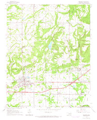
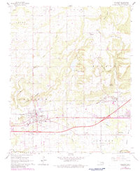
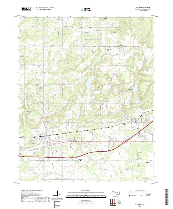
Loading map...1966 Map of Muldrow
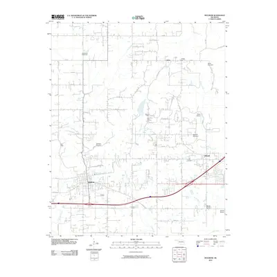
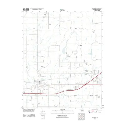
USGS Topo · Published 1967About this map
Muldrow serves as the primary hub of activity on this mid-1960s survey, defined by the corridor of the Missouri Pacific railroad and a burgeoning road network. The landscape transitions from the developed town center to the surrounding agricultural and industrial pockets, marked by several active shale pits and quarries. Beyond the main settlement, smaller communities like Shady Grove and Lone Oak anchor the rural landscape, while the heights of Turnham Mountain and Petree Mountain provide distinct geographic boundaries.
Find a feature on this map
48 named features on this map. Tap any name to fly to it.
Don’t see what you’re looking for? This feature index may not catch every label — zoom into the map to look around manually.
Map Details
Date Portrayed1966
Date Published1967
PublisherU.S. Geological Survey
Map TypeTopographic
Scale1:24,000
Physical Dimensions21.7 x 26.7 inches
Editions of this 1966 Muldrow Map
2 editions found
Historical Maps of Muldrow Through Time
6 maps found
Featured Locations
Source Details
SourceU.S. Geological Survey
CopyrightPublic Domain