2000s (21st Century) Maps of Brushy, Oklahoma
Explore 10 historic maps of Brushy from the 2000s (21st Century). These maps offer a rare glimpse into what life looked like during the 2000s — showing old roads, neighborhoods, homes, and landmarks that have changed or disappeared over time.
Whether you're researching your family's past, planning a metal detecting trip, or studying how Brushy's landscape evolved across the 2000s, these high-resolution maps are a powerful tool for exploring the history of this region.
- Focus on a specific era: All maps on this page are from the 2000s, giving you a focused view of this time period.
- See what’s changed: Compare century-old streets, trails, and buildings to today's modern landscape using overlays and satellite layers.
- Research with precision: Use these maps for genealogy, historical research, land use analysis, or educational projects.
- View, download, or print: Maps are fully viewable online in high resolution, and can be downloaded or printed for your own records.
Start exploring Brushy's history through authentic maps from the 2000s. This is your window into the past.
Brushy, OK maps
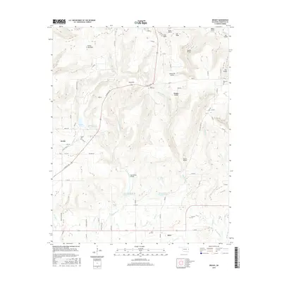
(10)- 2010 Map of Brushy, 2010 Print
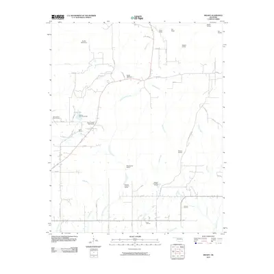 2010 Brushy2010 Print · USGSCovers Brushy, including Akins, Stoney Point, and other nearby areas
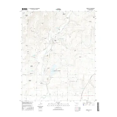
 - 2010 Map of Marble City, 2010 Print
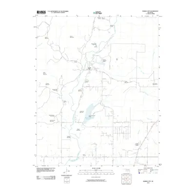 2010 Marble City2010 Print · USGSCovers Brushy, including Marble City, Flute Springs, and other nearby areas
 - 2012 Map of Marble City, 2012 Print
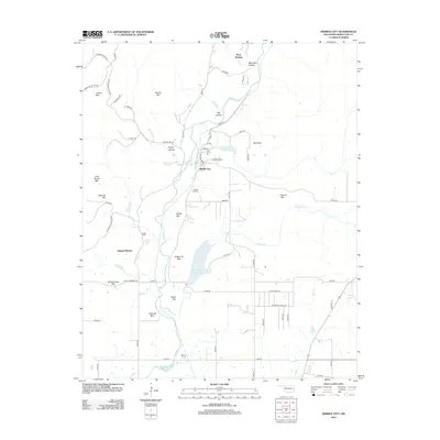 2012 Marble City2012 Print · USGSCovers Brushy, including Marble City, Flute Springs, and other nearby areas
 - 2013 Map of Brushy, 2013 Print
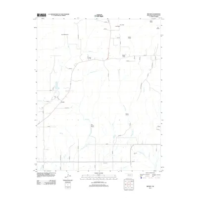 2013 Brushy2013 Print · USGSCovers Brushy, including Akins, Stoney Point, and other nearby areas
 - 2016 Map of Brushy, 2016 Print
 2016 Brushy2016 Print · USGSCovers Brushy, including Akins, Stoney Point, and other nearby areas
 - 2016 Map of Marble City, 2016 Print
 2016 Marble City2016 Print · USGSCovers Brushy, including Marble City, Flute Springs, and other nearby areas
 - 2018 Map of Brushy, 2018 Print
 2018 Brushy2018 Print · USGSCovers Brushy, including Akins, Stoney Point, and other nearby areas
 - 2018 Map of Marble City, 2018 Print
 2018 Marble City2018 Print · USGSCovers Brushy, including Marble City, Flute Springs, and other nearby areas
 - 2022 Map of Brushy, 2022 Print
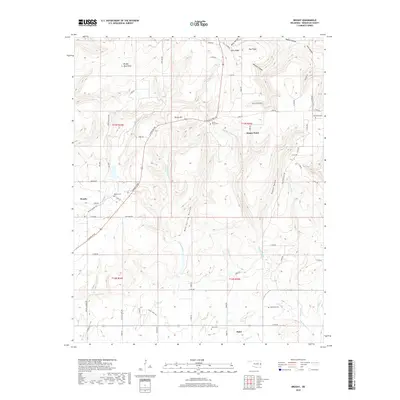
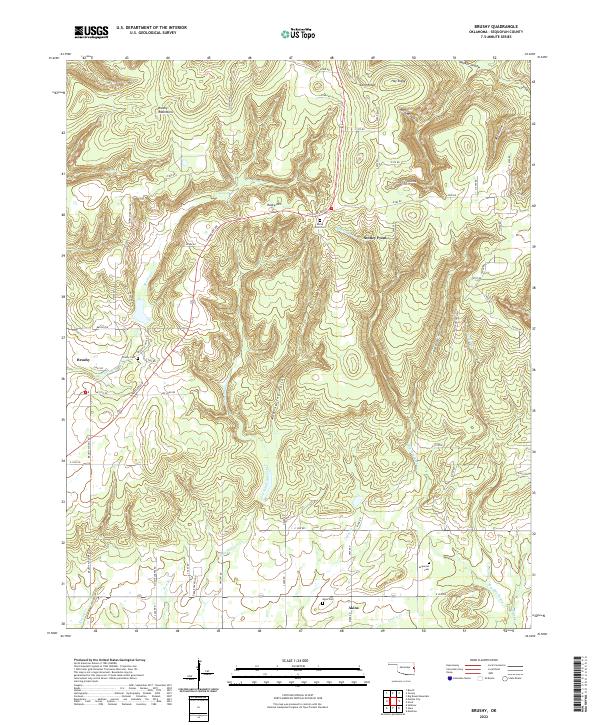 2022 Brushy2022 Print · USGSSequoyah County in the early twenty-first century remains a landscape of high ridges and deep hollows where rural life is centered on family landmarks. Researchers can locate ancestral sites at Brushy Cem or Akins Cem and trace the paths through Sonny Gile Hollow and along Prairie Cr.
 - 2022 Map of Marble City, 2022 Print
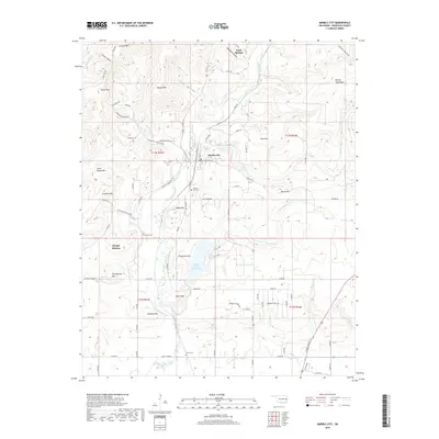
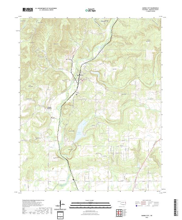 2022 Marble City2022 Print · USGSMarble City and the surrounding Oklahoma foothills are captured in this recent survey, showcasing a landscape shaped by narrow valleys and steep ridges. Researchers can locate Dwight Mission, Marble City Cem, and numerous landmarks like Schoolhouse Mtn.
End of results
Showing maps 1-10 of 10
Top cities near Brushy
- Sallisaw historical maps
- Muldrow historical maps
- Roland historical maps
- Vian historical maps
- Vian historical maps
- Marble City historical maps
See more
Frequently asked questions
- What are the different types of historical maps available for Brushy?
- What is the oldest map of Brushy?
- Where can I purchase historical maps of Brushy for my home or office?
- Where can I download high-res historical maps of Brushy?
- Are there historical topographic maps available for Brushy?
- Is there historical aerial imagery available for Brushy?
- Where are historical maps of Brushy sourced from?