Old Maps of Sadie, Oklahoma for Genealogy
Trace your family roots with 13 historic maps of Sadie. These high-res maps reveal old neighborhoods, homesites, landmarks, and streets — helping you uncover where your ancestors lived and how the area evolved over time.
- Explore historic neighborhoods: Identify where your relatives may have lived in the 1800s or 1900s.
- Compare maps over time: Trace the changes in streets, buildings, and landmarks for multi-generational research.
- Perfect for genealogy & ancestry research: Used by family historians and researchers to map out lineage and migration.
These maps are an incredible resource for exploring your personal connection to Sadie's past.
Sadie, OK maps
(13)- 1900 Map of Sallisaw
 1900 Sallisaw1900 Print · USGSThe Cherokee and Choctaw Nations are divided by the winding Arkansas River at the turn of the century. Genealogists can trace early tribal-era settlements like Bokoshe, Tamaha, and Oak Lodge along the routes of the Kansas City Southern R. R.2 unique versions available
 - 1911 Map of Sallisaw
 1911 Sallisaw1911 Print · USGSEastern Oklahoma at the turn of the century was a land of expanding railroads and ancient river crossings along the Arkansas River. Genealogists and historians can trace the early settlement of the region through dozens of landmarks like Foreman Ferry, McCurtain, and the Badger Lee School.3 unique versions available
 - 1946 Map of Fort Smith
 1946 Fort Smith1946 Print · USGSThe Arkansas-Oklahoma borderlands appear here in the mid-forties, as new reservoirs began to transform the river valleys. Genealogists and historians can trace rail-served towns from Muskogee to Fort Smith and locate landmarks like Camp Chaffee.
 - 1965 Map of Fort Smith
 1965 Fort Smith1965 Print · USGSEastern Oklahoma and Western Arkansas are captured here during a period of massive post-war change as new reservoirs reshaped the river valleys. Genealogists and historians can trace the rail networks of the Midland Valley RR and find established communities like Stilwell, Sallisaw, and Stigler.
 - 1967 Map of Fort Smith
 1967 Fort Smith1967 Print · USGSThe Arkansas River valley and the foothills of the Ozarks are captured here during a period of significant military and industrial activity. Researchers can trace the sprawling bounds of Camp Chaffee and Camp Gruber or locate vanished rail stops along the Midland Valley RR.
 - 1967 Map of Sallisaw, 1968 Print
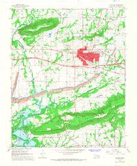 1967 Sallisaw1968 Print · USGSSallisaw and the surrounding Oklahoma river bottoms are captured here during a period of significant change in the late sixties. Researchers can trace the impact of the Robert S. Kerr Reservoir on the local landscape and locate historic sites like Buffington Cem and Badger Lee Ch.3 unique versions available
 - 1978 Map of Fort Smith, 1979 Print
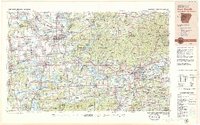 1978 Fort Smith1979 Print · USGSThe Arkansas-Oklahoma borderlands in the late seventies show a landscape shaped by massive river reservoirs and sprawling military reservations. Trace the historic rail lines of the Missouri Pacific RR and locate regional landmarks like Fort Gibson, Tenkiller Ferry Lake, and Barling.2 unique versions available
 - 1978 Map of Fort Smith, 1979 Print
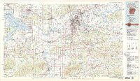 1978 Fort Smith1979 Print · USGSThe Arkansas-Oklahoma borderlands in the late seventies show a region defined by river navigation, coal mining, and military expansion. You can trace industrial footprints like the Strip Mines and the vast Fort Chaffee Military Reservation.2 unique versions available
 - 2010 Map of Sallisaw, 2010 Print
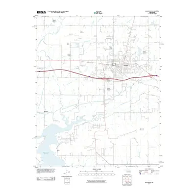 2010 Sallisaw2010 Print · USGSSallisaw and the Arkansas River valley are shown here just after the first decade of the millennium, following the region's development near the Robert S Kerr Reservoir. Researchers can trace local landmarks like Buffington Cemetery, Blue Ribbon Downs, and the community of Sadie.
 - 2012 Map of Sallisaw, 2012 Print
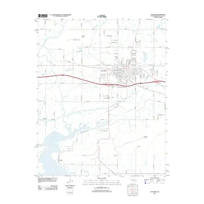 2012 Sallisaw2012 Print · USGSSallisaw and the northern shores of the Robert S. Kerr Reservoir are documented here in the early twenty-first century. Researchers can trace family sites near Sadie and Harrison or locate burials at Sallisaw Cem and Buffington Cem.
 - 2016 Map of Sallisaw, 2016 Print
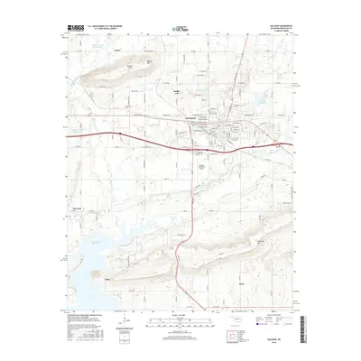 2016 Sallisaw2016 Print · USGSSallisaw and the Arkansas River valley are shown in detail during the mid-2010s, illustrating the town's growth alongside major water projects. Researchers can trace family history at Buffington Cem or locate old homestead sites near McKey and Sadie.
 - 2019 Map of Sallisaw, 2019 Print
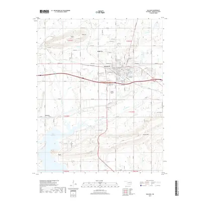 2019 Sallisaw2019 Print · USGSSallisaw and the surrounding Oklahoma hills are captured in this recent survey during a period of steady regional development. Genealogists and historians can locate family sites at Buffington Cem, trace the waters of Little Sallisaw Creek, and explore the rural settlements of Harrison and Sadie.
 - 2022 Map of Sallisaw, 2022 Print
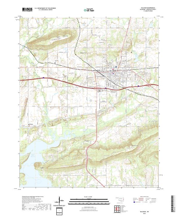 2022 Sallisaw2022 Print · USGSSallisaw and the surrounding Oklahoma valley are shown here in 2022, framed by the heights of Badger Mountain and Wildhorse Mountain. Genealogists can trace family plots at Buffington Cem and Duncan Cem or locate the historic Sequoyah County Courthouse.
End of results
Showing maps 1-13 of 13
Top cities near Sadie
- Poteau historical maps
- Sallisaw historical maps
- Muldrow historical maps
- Spiro historical maps
- Vian historical maps
- Vian historical maps
See more
Frequently asked questions
- What are the different types of historical maps available for Sadie?
- What is the oldest map of Sadie?
- Where can I purchase historical maps of Sadie for my home or office?
- Where can I download high-res historical maps of Sadie?
- Are there historical topographic maps available for Sadie?
- Is there historical aerial imagery available for Sadie?
- Where are historical maps of Sadie sourced from?