Old Maps of Sperry, Oklahoma for Hiking & Exploration
Hike through history with 24 historic maps of Sperry. Explore old trails, ghost towns, and forgotten backroads — perfect for outdoor adventurers and local explorers.
- Rediscover forgotten places: Map out old mining camps, roads, and footpaths that no longer exist on modern maps.
- Layer with modern tools: Combine with LiDAR or satellite views to plan hikes through historical terrain.
- Made for exploration: Popular among hikers, overlanders, and local history lovers.
Use these maps to find adventure and explore the hidden past of Sperry.
Sperry, OK maps
(24)- 1901 Map of Claremore
 1901 Claremore1901 Print · USGSThe Cherokee, Osage, and Creek Nations converge in the Indian Territory during this era of rapid railroad expansion. Researchers can trace early settlements and tribal boundaries, locating the Island Ferry, the junction at Claremore, and early Tulsa.4 unique versions available
 - 1912 Map of Hominy, 1960 Print
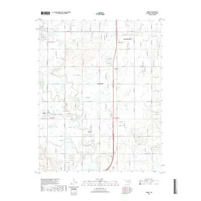
 1912 Hominy1960 Print · USGSNortheastern Oklahoma comes alive in this pre-reservoir survey, documenting the river-valley settlements and tribal lands of the early statehood era. Genealogists can locate dozens of country schools and sites like Black Dog (Indian Village) or the early Oil City Barnsdall P O.
 - 1914 Map of Claremore, 1959 Print
 1914 Claremore1959 Print · USGSNortheastern Oklahoma was a landscape of river crossings and rail towns in the years just before the Great War. Genealogists and researchers can trace the locations of dozens of vanished rural schools like Elm Ridge School, river landmarks such as Thomas Ferry, and the early footprints of Broken Arrow and Tulsa.
 - 1915 Map of Hominy
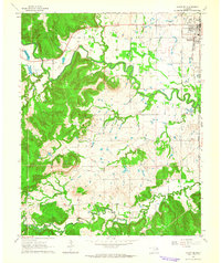
 1915 Hominy1915 Print · USGSOsage and Creek counties come to life in the years before the Great War, showing a landscape defined by river confluences and the expansion of the rail industry. Genealogists can locate early settlements like Black Dog and schools like Dripping Spring School or Sunset School.2 unique versions available
 - 1916 Map of Claremore
 1916 Claremore1916 Print · USGSThe Verdigris River valley and the burgeoning rail hubs of Rogers and Tulsa counties are captured here just after Oklahoma statehood. Genealogists can locate family homesteads near dozens of early schools like Fair Valley School or early churches such as Greenwood Chapel.4 unique versions available
 - 1954 Map of Tulsa
 1954 Tulsa1954 Print · USGSNortheast Oklahoma and the Ozark border are shown here during a period of massive industrial and infrastructure growth. Researchers can trace the legacy of the Tri-State Mining District and the development of major reservoirs like Grand Lake O' The Cherokees.2 unique versions available
 - 1955 Map of Sperry, 1956 Print
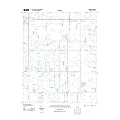
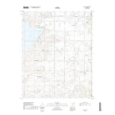
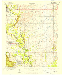 1955 Sperry1956 Print · USGSNortheastern Oklahoma at the height of the mid-century oil boom reveals a landscape of industrial energy and deep-rooted river settlements. Researchers can trace family history at Skybuck Cem or Chisholm Cem and follow the old Midland Valley rail line through Sperry.4 unique versions available
 - 1955 Map of Enid, 1966 Print
 1955 Enid1966 Print · USGSNorth-central Oklahoma's transition from open plains to the blackjack hills of the Osage Indian Reservation is captured in the mid-1950s. Researchers can trace the development of the Naval Reserve Oil Field, the grounds of Vance AFB, and the early footprints of Tulsa and Stillwater.4 unique versions available
 - 1958 Map of Enid
 1958 Enid1958 Print · USGSNorthern Oklahoma is mapped here in the late fifties, showcasing a dense network of petroleum production and historic tribal lands. Researchers can trace the legacy of the Osage Indian Reservation, early energy hubs like the Cushing Oil Field, and the Chilocco Indian Agricultural School.2 unique versions available
 - 1958 Map of Tulsa, 1968 Print
 1958 Tulsa1968 Print · USGSNortheast Oklahoma and the Ozark borderlands are captured here during a massive era of reservoir construction and highway expansion. Researchers can trace the mid-century footprints of Tulsa, the sprawling Lake O' the Cherokees, and historical sites like Pea Ridge National Military Park.3 unique versions available
 - 1963 Map of Tulsa
 1963 Tulsa1963 Print · USGSThe Oklahoma and Arkansas borderlands are shown here in the early sixties, a time of massive reservoir construction and heavy mining. Genealogists can trace family roots through settlements like Nowata, Pryor, and Jay, or locate historical zinc and lead mines and coal mines.
 - 1963 Map of Avant SE, 1964 Print
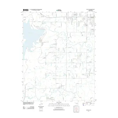
 1963 Avant SE1964 Print · USGSOsage and Tulsa counties meet here in the early sixties, as the oil industry and railroads shaped the local landscape. Genealogists can trace family footprints at Captain Cem, Delaware Ch, and the outlying Osage Gardens development.4 unique versions available
 - 1985 Map of Tulsa
 1985 Tulsa1985 Print · USGSNortheastern Oklahoma in the mid-eighties shows a landscape shaped by massive reservoirs and a bustling transportation network. Researchers can trace the path of the Will Rogers Turnpike or locate local landmarks like Mohawk Park and Oologah Lake.2 unique versions available
 - 1990 Map of Keystone Lake
 1990 Keystone Lake1990 Print · USGSNorth-central Oklahoma's landscape is captured here in the 1990s as the vast waters of Keystone Lake meet the Osage Indian Reservation. Researchers can trace old rail corridors like the St Louis-San Francisco Railway and find local landmarks such as Pawnee Bill State Park or the Oil Field at Oilton.
 - 2010 Map of Sperry, 2010 Print
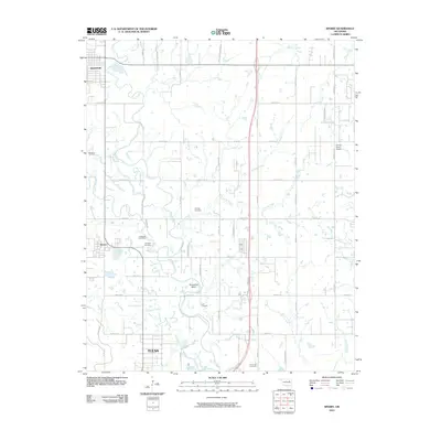 2010 Sperry2010 Print · USGSCovers Sperry, including Tulsa, Owasso, and other nearby areas
 - 2010 Map of Avant SE, 2010 Print
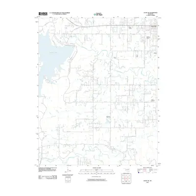 2010 Avant SE2010 Print · USGSCovers Sperry, including Tulsa, Sand Springs, and other nearby areas
 - 2012 Map of Sperry, 2012 Print
 2012 Sperry2012 Print · USGSCovers Sperry, including Tulsa, Owasso, and other nearby areas
 - 2012 Map of Avant SE, 2012 Print
 2012 Avant SE2012 Print · USGSCovers Sperry, including Tulsa, Sand Springs, and other nearby areas
 - 2016 Map of Sperry, 2016 Print
 2016 Sperry2016 Print · USGSCovers Sperry, including Tulsa, Owasso, and other nearby areas
 - 2016 Map of Avant SE, 2016 Print
 2016 Avant SE2016 Print · USGSCovers Sperry, including Tulsa, Sand Springs, and other nearby areas
 - 2018 Map of Avant SE, 2018 Print
 2018 Avant SE2018 Print · USGSCovers Sperry, including Tulsa, Sand Springs, and other nearby areas
 - 2019 Map of Sperry, 2019 Print
 2019 Sperry2019 Print · USGSCovers Sperry, including Tulsa, Owasso, and other nearby areas
 - 2022 Map of Avant SE, 2022 Print
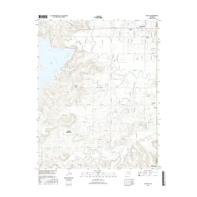
 2022 Avant SE2022 Print · USGSThe Osage and Tulsa County line area is captured here during a period of suburban transition and aviation growth. Researchers can locate family roots at Osage Gardens Cem or trace the rural landscape near Skiatook Municipal Airport and Hominy Creek.
 - 2022 Map of Sperry, 2022 Print
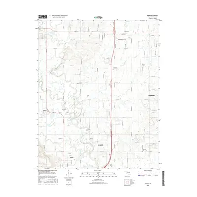
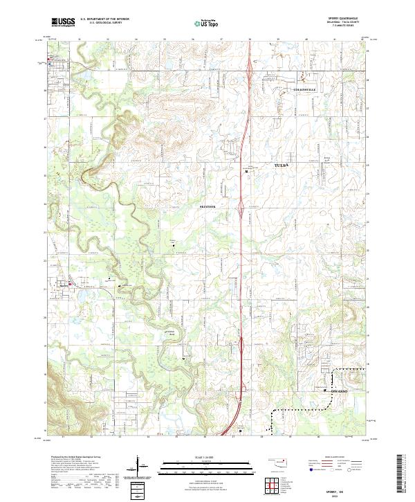 2022 Sperry2022 Print · USGSSperry and the northern Tulsa suburbs are captured here in the early 2020s, a period of steady residential expansion among the winding creek beds. Researchers can locate numerous local burial sites like Skybuck Cem and Chisholm Cem or trace the curves of Hominy Creek.
End of results
Showing maps 1-24 of 24
Top cities near Sperry
- Tulsa historical maps
- Owasso historical maps
- Sapulpa historical maps
- Sand Springs historical maps
- Skiatook historical maps
- Catoosa historical maps
See more
Frequently asked questions
- What are the different types of historical maps available for Sperry?
- What is the oldest map of Sperry?
- Where can I purchase historical maps of Sperry for my home or office?
- Where can I download high-res historical maps of Sperry?
- Are there historical topographic maps available for Sperry?
- Is there historical aerial imagery available for Sperry?
- Where are historical maps of Sperry sourced from?