Old Maps of Hampton Oaks, Tulsa for Metal Detecting
Plan your next treasure hunt with 13 historic maps of Hampton Oaks. Find old homesites, ghost towns, trails, and gathering spots that may be lost to time — perfect for identifying promising metal detecting locations.
- Locate forgotten sites: Uncover places like long-lost settlements, abandoned rail lines, or gathering spots.
- Plan better hunts: Use map overlays combined with LiDAR or satellite views to narrow in on historically rich areas.
- Made for detectorists: Thousands of hobbyists use these maps to discover relics, coins, and hidden history.
Use these historic maps to boost your research and find new opportunities beneath the surface of Hampton Oaks.
Hampton Oaks, Tulsa maps
(13)- 1896 Map of Okmulgee, 1954 Print
 1896 Okmulgee1954 Print · USGSThe Creek Nation of the Indian Territory is captured here in the late nineteenth century, just before the turn of the century. Genealogists and researchers can trace early mission sites like Wealaka Mission and established frontier settlements including Council Hill and Wellington.
 - 1900 Map of Okmulgee
 1900 Okmulgee1900 Print · USGSThe Indian Territory of the Creek Nation is captured here during the late 1890s, just before statehood changed the region forever. Researchers can trace the early foundations of Okmulgee or locate vanished sites like Wealaka Mission and Wellington (Lee P.O.).6 unique versions available
 - 1946 Map of Fort Smith
 1946 Fort Smith1946 Print · USGSThe Arkansas-Oklahoma borderlands appear here in the mid-forties, as new reservoirs began to transform the river valleys. Genealogists and historians can trace rail-served towns from Muskogee to Fort Smith and locate landmarks like Camp Chaffee.
 - 1957 Map of Bixby, 1958 Print
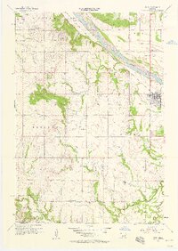 1957 Bixby1958 Print · USGSThe Arkansas River valley comes alive in the mid-1950s as petroleum development reshapes the landscape near the Tulsa and Okmulgee county line. Genealogists and local historians can trace family roots through sites like Shellenbarger Ch, Liberty Sch, and the Bixby Cem.6 unique versions available
 - 1965 Map of Fort Smith
 1965 Fort Smith1965 Print · USGSEastern Oklahoma and Western Arkansas are captured here during a period of massive post-war change as new reservoirs reshaped the river valleys. Genealogists and historians can trace the rail networks of the Midland Valley RR and find established communities like Stilwell, Sallisaw, and Stigler.
 - 1967 Map of Fort Smith
 1967 Fort Smith1967 Print · USGSThe Arkansas River valley and the foothills of the Ozarks are captured here during a period of significant military and industrial activity. Researchers can trace the sprawling bounds of Camp Chaffee and Camp Gruber or locate vanished rail stops along the Midland Valley RR.
 - 1978 Map of Muskogee, 1979 Print
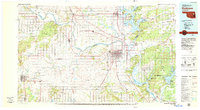 1978 Muskogee1979 Print · USGSThe confluence of the Arkansas, Verdigris, and Neosho Rivers defines the Muskogee region in the late seventies. Genealogists and historians can trace the footprints of Camp Gruber (Abandoned), the campus of Bacone College, and early aviation at Hatbox Field.
 - 1978 Map of Fort Smith, 1979 Print
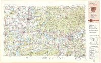 1978 Fort Smith1979 Print · USGSThe Arkansas-Oklahoma borderlands in the late seventies show a landscape shaped by massive river reservoirs and sprawling military reservations. Trace the historic rail lines of the Missouri Pacific RR and locate regional landmarks like Fort Gibson, Tenkiller Ferry Lake, and Barling.2 unique versions available
 - 2010 Map of Bixby, 2010 Print
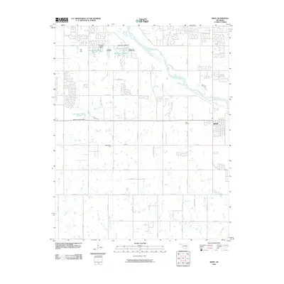 2010 Bixby2010 Print · USGSBixby and the southern Tulsa outskirts appear here in the early twenty-first century as the community continues to grow along the Arkansas River. Researchers can locate family sites at Bixby Cemetery or trace industrial landmarks like the Tiger Tank Farm and Applegate Hill.
 - 2012 Map of Bixby, 2012 Print
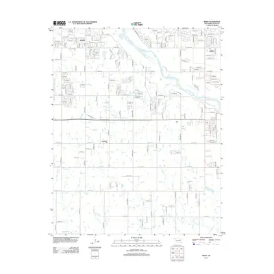 2012 Bixby2012 Print · USGSSouthern Tulsa County undergoes significant suburban growth in the early twenty-first century as the Arkansas River valley fills with new residential grids. Researchers can trace local heritage at Bixby Cem and Duck Creek Cem or follow the paths of Posey Cr and Snake Cr.
 - 2016 Map of Bixby, 2016 Print
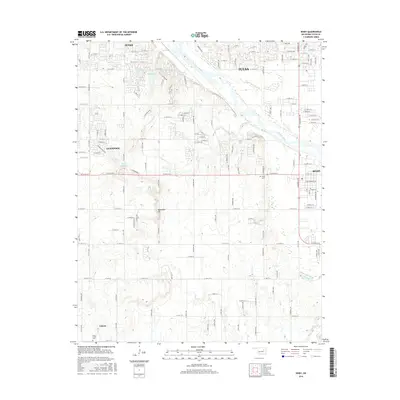 2016 Bixby2016 Print · USGSBixby and Jenks appear during a period of significant suburban development along the Arkansas River south of Tulsa. Genealogists and local researchers can trace family plots at Bixby Cem and Duck Creek Cem or locate rural homesteads near Liberty and Applegate Hill.
 - 2018 Map of Bixby, 2018 Print
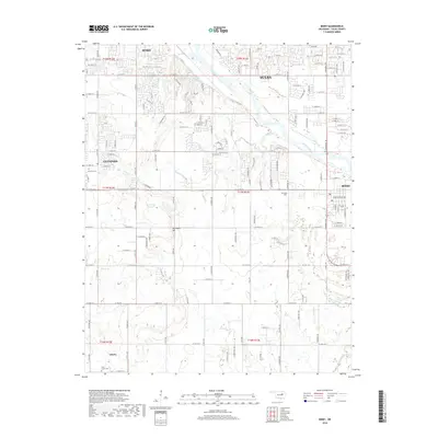 2018 Bixby2018 Print · USGSTulsa County south of the city is captured in 2018, showing the suburban growth surrounding Bixby and Glenpool. Researchers can trace local heritage sites like Bixby Cem and Duck Creek Cem along the drainage of Duck Cr.
 - 2022 Map of Bixby, 2022 Print
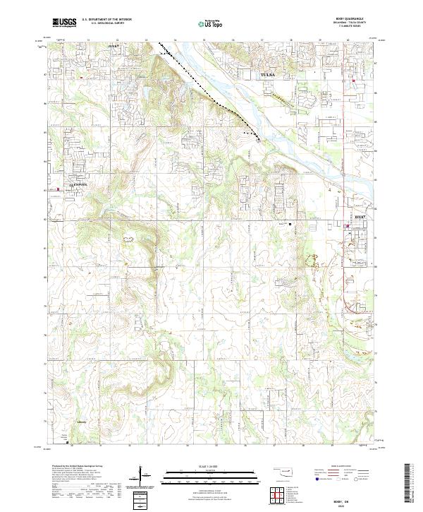 2022 Bixby2022 Print · USGSBixby and the southern Tulsa suburbs are captured here during a period of modern expansion along the Arkansas River. Researchers can trace local family history at Bixby Cemetery or explore the rural-to-suburban transition near Liberty and Applegate Hill.
End of results
Showing maps 1-13 of 13
Frequently asked questions
- What are the different types of historical maps available for Hampton Oaks?
- What is the oldest map of Hampton Oaks?
- Where can I purchase historical maps of Hampton Oaks for my home or office?
- Where can I download high-res historical maps of Hampton Oaks?
- Are there historical topographic maps available for Hampton Oaks?
- Is there historical aerial imagery available for Hampton Oaks?
- Where are historical maps of Hampton Oaks sourced from?