Old Maps of Lortondale, Tulsa for Genealogy
Trace your family roots with 19 historic maps of Lortondale. These high-res maps reveal old neighborhoods, homesites, landmarks, and streets — helping you uncover where your ancestors lived and how the area evolved over time.
- Explore historic neighborhoods: Identify where your relatives may have lived in the 1800s or 1900s.
- Compare maps over time: Trace the changes in streets, buildings, and landmarks for multi-generational research.
- Perfect for genealogy & ancestry research: Used by family historians and researchers to map out lineage and migration.
These maps are an incredible resource for exploring your personal connection to Lortondale's past.
Lortondale, Tulsa maps
(19)- 1901 Map of Claremore
 1901 Claremore1901 Print · USGSThe Cherokee, Osage, and Creek Nations converge in the Indian Territory during this era of rapid railroad expansion. Researchers can trace early settlements and tribal boundaries, locating the Island Ferry, the junction at Claremore, and early Tulsa.4 unique versions available
 - 1914 Map of Claremore, 1959 Print
 1914 Claremore1959 Print · USGSNortheastern Oklahoma was a landscape of river crossings and rail towns in the years just before the Great War. Genealogists and researchers can trace the locations of dozens of vanished rural schools like Elm Ridge School, river landmarks such as Thomas Ferry, and the early footprints of Broken Arrow and Tulsa.
 - 1916 Map of Claremore
 1916 Claremore1916 Print · USGSThe Verdigris River valley and the burgeoning rail hubs of Rogers and Tulsa counties are captured here just after Oklahoma statehood. Genealogists can locate family homesteads near dozens of early schools like Fair Valley School or early churches such as Greenwood Chapel.4 unique versions available
 - 1952 Map of Jenks, 1953 Print
 1952 Jenks1953 Print · USGSThe riverfront and southern hills of Tulsa appear in the early fifties, capturing a period of industrial strength and suburban expansion. Genealogists and historians can locate community landmarks like Rentie Grove Ch, Holland Hall Sch, and the Midland Valley rail line.8 unique versions available
 - 1954 Map of Tulsa
 1954 Tulsa1954 Print · USGSNortheast Oklahoma and the Ozark border are shown here during a period of massive industrial and infrastructure growth. Researchers can trace the legacy of the Tri-State Mining District and the development of major reservoirs like Grand Lake O' The Cherokees.2 unique versions available
 - 1954 Map of Tulsa, 1955 Print
 1954 Tulsa1955 Print · USGSTulsa was expanding rapidly in the mid-fifties, balancing its industrial identity with a growing network of residential neighborhoods and schools. Researchers can trace the mid-century city layout from University of Tulsa to Tulsa Municipal Airport, including numerous sites like Oaklawn Cemetery and Dawson.6 unique versions available
 - 1958 Map of Tulsa, 1968 Print
 1958 Tulsa1968 Print · USGSNortheast Oklahoma and the Ozark borderlands are captured here during a massive era of reservoir construction and highway expansion. Researchers can trace the mid-century footprints of Tulsa, the sprawling Lake O' the Cherokees, and historical sites like Pea Ridge National Military Park.3 unique versions available
 - 1963 Map of Tulsa
 1963 Tulsa1963 Print · USGSThe Oklahoma and Arkansas borderlands are shown here in the early sixties, a time of massive reservoir construction and heavy mining. Genealogists can trace family roots through settlements like Nowata, Pryor, and Jay, or locate historical zinc and lead mines and coal mines.
 - 1985 Map of Tulsa
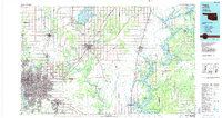 1985 Tulsa1985 Print · USGSNortheastern Oklahoma in the mid-eighties shows a landscape shaped by massive reservoirs and a bustling transportation network. Researchers can trace the path of the Will Rogers Turnpike or locate local landmarks like Mohawk Park and Oologah Lake.2 unique versions available
 - 2010 Map of Jenks, 2010 Print
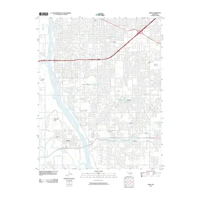 2010 Jenks2010 Print · USGSThe southern Tulsa suburbs come into focus during the early twenty-first century as the Arkansas River valley undergoes significant development. Trace the footprints of Oral Roberts University, Jenks, and historic grounds like Haikey Cemetery.
 - 2010 Map of Tulsa, 2010 Print
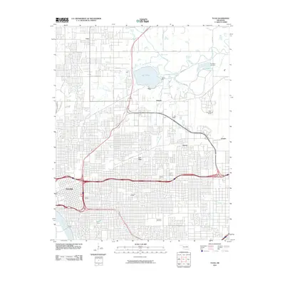 2010 Tulsa2010 Print · USGSTulsa and its northern suburbs are captured in the early twenty-first century, showing a dense grid of urban growth and critical infrastructure. Researchers can trace the grounds of the University of Tulsa, locate Oaklawn Cemetery, and explore the sprawling Tulsa International Airport.
 - 2012 Map of Jenks, 2012 Print
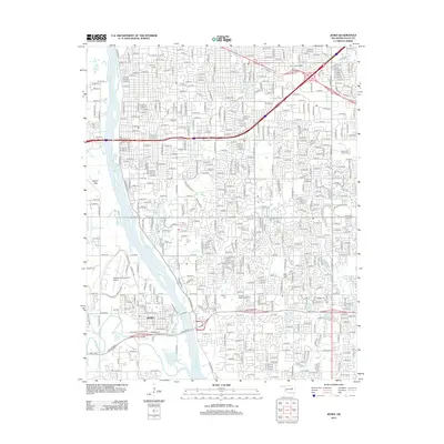 2012 Jenks2012 Print · USGSSouth Tulsa and Jenks are shown in detail during a period of significant suburban and academic expansion. Researchers can find numerous landmarks including Oral Roberts Univ, the Richard Lloyd Jones Jr Airport, and several historical cemeteries.
 - 2012 Map of Tulsa, 2012 Print
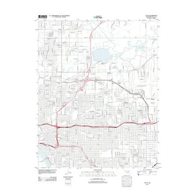 2012 Tulsa2012 Print · USGSTulsa and its northern suburbs are captured here at a moment of significant urban and industrial density in the early twenty-first century. Researchers can trace the layout of East Tulsa neighborhoods, the sprawling Tulsa International Airport, and historic burial sites like Oaklawn Cem.
 - 2016 Map of Tulsa, 2016 Print
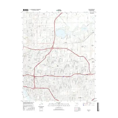 2016 Tulsa2016 Print · USGSTulsa at the height of its modern expansion reveals a dense network of neighborhoods, from Turley to East Tulsa. Genealogists and historians can trace institutional roots at the Univ of Tulsa and locate family plots at Rose Hill Cem or Oaklawn Cem.
 - 2016 Map of Jenks, 2016 Print
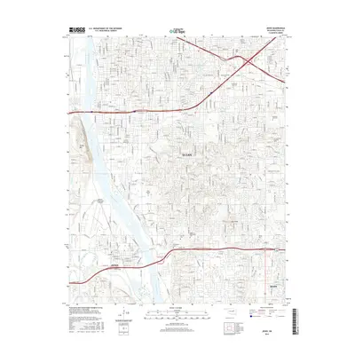 2016 Jenks2016 Print · USGSSouth Tulsa and Jenks are shown in the mid-2010s as suburban development follows the path of the Arkansas River and the Creek Tpke. Researchers can find several burial grounds like Perryman Cem alongside landmarks such as Oral Roberts Univ.
 - 2019 Map of Jenks, 2019 Print
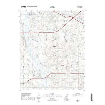 2019 Jenks2019 Print · USGSThe suburbs south of Tulsa come into sharp focus in the late 2010s as the Arkansas River valley continues to develop. Researchers can trace the layout of Jenks and Bixby while locating landmarks like Memorial Park Cem and the Richard Lloyd Jones Jr Airport.
 - 2019 Map of Tulsa, 2019 Print
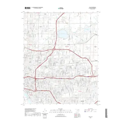 2019 Tulsa2019 Print · USGSTulsa is shown at the end of the second decade of the millennium, showcasing a sprawling urban grid defined by its proximity to the Arkansas River. Genealogists and local historians can trace legacy sites like Oaklawn Cem and Rose Hill Cem or locate neighborhoods such as Dawson and Turley.
 - 2022 Map of Jenks, 2022 Print
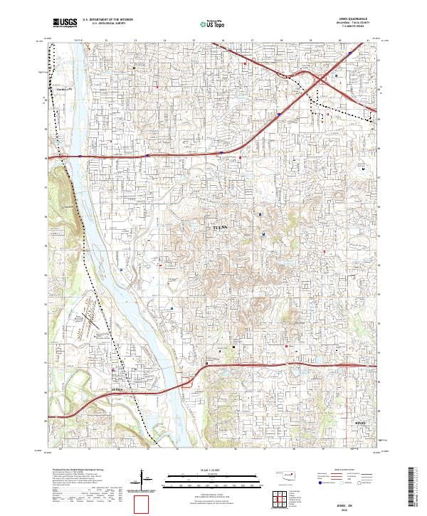 2022 Jenks2022 Print · USGSGreater Tulsa and the riverside community of Jenks are shown here during a period of sustained suburban growth in the early 2020s. Genealogists and local historians can locate established landmarks such as Oral Roberts University, Turkey Mountain, and several historical sites like the Rentie Grove Community Cemetery.
 - 2022 Map of Tulsa, 2022 Print
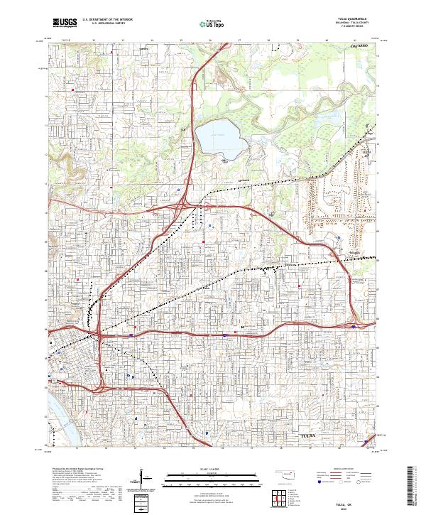 2022 Tulsa2022 Print · USGSTulsa's urban core and northern reaches are detailed in this recent survey, capturing the city’s complex academic and industrial infrastructure. Researchers can trace historic neighborhoods like Dawson and Mohawk, or locate local landmarks such as Rose Hill Cem and the University of Tulsa.
End of results
Showing maps 1-19 of 19
Frequently asked questions
- What are the different types of historical maps available for Lortondale?
- What is the oldest map of Lortondale?
- Where can I purchase historical maps of Lortondale for my home or office?
- Where can I download high-res historical maps of Lortondale?
- Are there historical topographic maps available for Lortondale?
- Is there historical aerial imagery available for Lortondale?
- Where are historical maps of Lortondale sourced from?