Old Maps of Taylor Ferry, Oklahoma
Explore 16 old maps of Taylor Ferry, spanning from 1901 to today. These high-resolution historic maps reveal how streets, neighborhoods, landmarks, and natural features evolved over time — perfect for genealogy, metal detecting, research, and local history exploration.
What you can do with these maps:
- See how Taylor Ferry changed over time: Compare historical maps to modern-day views to trace roads, homesites, rail lines & more.
- View detailed metadata: Each map includes creators, publishers, year, scale, and archive source.
- Overlay maps with satellite & LiDAR: Visualize the past alongside modern tools to explore terrain & human change.
- Trusted historical sources: Maps sourced from the USGS, Library of Congress, and other archives.
- Access maps your way: View online, download high-res files, or order prints for personal or research use.
Start exploring old maps of Taylor Ferry to uncover forgotten places, hidden landmarks, and the deep history beneath your feet.
Taylor Ferry, OK maps
(16)- 1901 Map of Muscogee
 1901 Muscogee1901 Print · USGSIndian Territory at the turn of the century shows a landscape shaped by river commerce and the coming of the railroads. Genealogists can trace family roots through early settlements like Tullahassee and Webbers Falls, or locate historic river crossings such as Whisky Ford.6 unique versions available
 - 1905 Map of Muscogee
 1905 Muscogee1905 Print · USGSIndian Territory at the turn of the century shows a landscape transitioning from tribal nations to a rail-centered economy. Researchers can trace ancestral river crossings and early settlements like Fort Gibson, Tenkillers Ferry, and Gibson Sta.
 - 1946 Map of Fort Smith
 1946 Fort Smith1946 Print · USGSThe Arkansas-Oklahoma borderlands appear here in the mid-forties, as new reservoirs began to transform the river valleys. Genealogists and historians can trace rail-served towns from Muskogee to Fort Smith and locate landmarks like Camp Chaffee.
 - 1948 Map of Wagoner, 1967 Print
 1948 Wagoner1967 Print · USGSThe river-confluence region of eastern Oklahoma is seen here just after the war, as the Fort Gibson Reservoir begins to take shape. Researchers can trace numerous rural landmarks like the Mulrow Ind Orphans Home, Tullahassee, and Blue Mound Cem.
 - 1950 Map of Wagoner
 1950 Wagoner1950 Print · USGSMid-century eastern Oklahoma is captured here as the Fort Gibson Reservoir project begins to reshape the river valleys. Genealogists and local historians can trace rural school districts and family landmarks from Tullahassee to the Murrow Ind Orphans Home.2 unique versions available
 - 1965 Map of Fort Smith
 1965 Fort Smith1965 Print · USGSEastern Oklahoma and Western Arkansas are captured here during a period of massive post-war change as new reservoirs reshaped the river valleys. Genealogists and historians can trace the rail networks of the Midland Valley RR and find established communities like Stilwell, Sallisaw, and Stigler.
 - 1967 Map of Fort Smith
 1967 Fort Smith1967 Print · USGSThe Arkansas River valley and the foothills of the Ozarks are captured here during a period of significant military and industrial activity. Researchers can trace the sprawling bounds of Camp Chaffee and Camp Gruber or locate vanished rail stops along the Midland Valley RR.
 - 1972 Map of Wagoner NE, 1974 Print
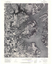 1972 Wagoner NE1974 Print · USGSNortheastern Oklahoma's landscape is captured in the early seventies, showcasing the expansive reach of Fort Gibson Lake. Local historians can trace the development of Wagoner and the intricate shoreline that reshaped this region.
 - 1974 Map of Wagoner East, 1978 Print
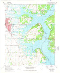 1974 Wagoner East1978 Print · USGSThe lakeside community of Wagoner and the eastern shores of Fort Gibson Lake are captured here in the mid-seventies. Genealogists and local historians can trace legacy sites like Elmwood Cem and Ora Ellington Sch alongside the busy Missouri Pacific Railroad.
 - 1978 Map of Muskogee, 1979 Print
 1978 Muskogee1979 Print · USGSThe confluence of the Arkansas, Verdigris, and Neosho Rivers defines the Muskogee region in the late seventies. Genealogists and historians can trace the footprints of Camp Gruber (Abandoned), the campus of Bacone College, and early aviation at Hatbox Field.
 - 1978 Map of Fort Smith, 1979 Print
 1978 Fort Smith1979 Print · USGSThe Arkansas-Oklahoma borderlands in the late seventies show a landscape shaped by massive river reservoirs and sprawling military reservations. Trace the historic rail lines of the Missouri Pacific RR and locate regional landmarks like Fort Gibson, Tenkiller Ferry Lake, and Barling.2 unique versions available
 - 2010 Map of Wagoner East, 2010 Print
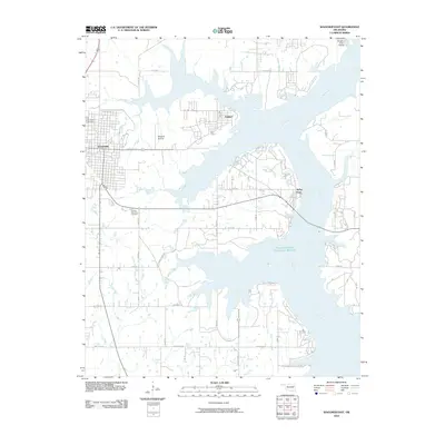 2010 Wagoner East2010 Print · USGSWagoner County at the start of the 2010s shows a landscape defined by the expansive waters of the Neosho River. Genealogists and local historians can locate Elmwood Cemetery, the Wagoner Airstrip, and the lakeside community of Taylor Ferry.
 - 2012 Map of Wagoner East, 2012 Print
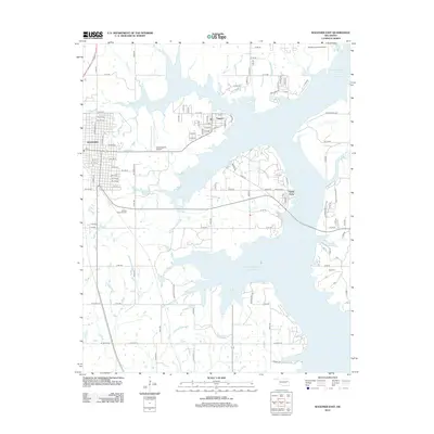 2012 Wagoner East2012 Print · USGSThe eastern outskirts of Wagoner met the expanding waters of the local reservoir in the early twenty-first century. Researchers can trace lakeside developments like Taylor Ferry and find family sites at Pioneer Memorial Cem or Ray Cem.
 - 2016 Map of Wagoner East, 2016 Print
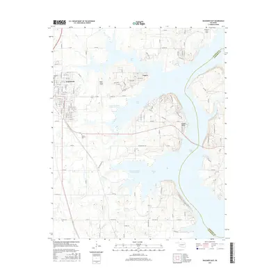 2016 Wagoner East2016 Print · USGSWagoner County and Cherokee County meet along the irregular shores of Fort Gibson Lake in the mid-2010s. Trace the lakefront communities of Toppers and Taylor Ferry, or locate family sites at Pioneer Memorial Cem and Ray Cem.
 - 2018 Map of Wagoner East, 2018 Print
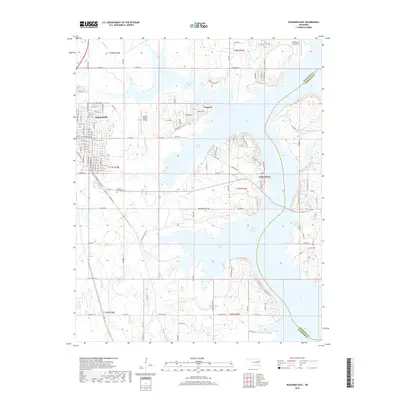 2018 Wagoner East2018 Print · USGSThe eastern reaches of Wagoner and the winding shores of Fort Gibson Lake are captured here during the late 2010s. Genealogists and local historians can locate Pioneer Memorial Cem, Ray Cem, and the lakeside settlements of Toppers and Taylor Ferry.
 - 2022 Map of Wagoner East, 2022 Print
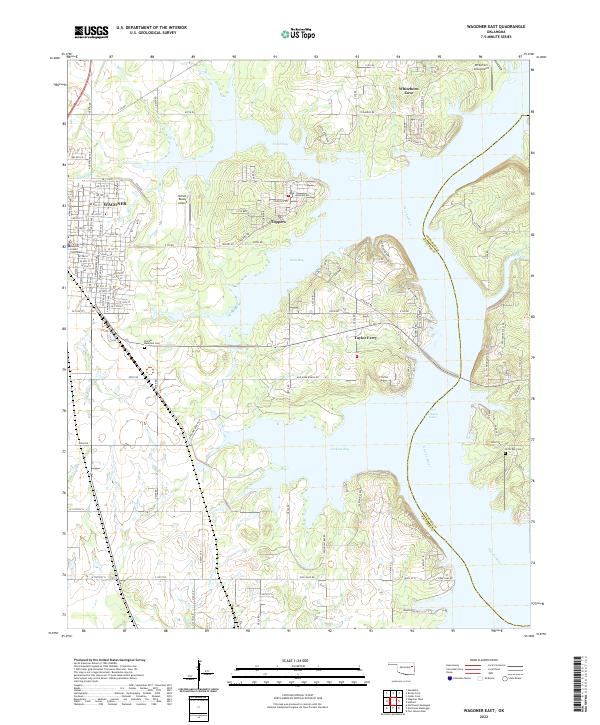 2022 Wagoner East2022 Print · USGSFort Gibson Lake defines the eastern Oklahoma landscape in the early twenty-first century, where the impounded Neosho River creates a sprawling shoreline. Researchers can locate the Wagoner County Courthouse and trace local family history at the Pioneer Memorial Cem or North Ray Cem.
End of results
Showing maps 1-16 of 16
Top cities near Taylor Ferry
- Muskogee historical maps
- Wagoner historical maps
- Chouteau historical maps
- Inola historical maps
- Okay historical maps
- Hulbert historical maps
See more
Frequently asked questions
- What are the different types of historical maps available for Taylor Ferry?
- What is the oldest map of Taylor Ferry?
- Where can I purchase historical maps of Taylor Ferry for my home or office?
- Where can I download high-res historical maps of Taylor Ferry?
- Are there historical topographic maps available for Taylor Ferry?
- Is there historical aerial imagery available for Taylor Ferry?
- Where are historical maps of Taylor Ferry sourced from?