Old Maps of Hereford, Oregon for Academic Research
Study the evolution of Hereford with 9 high-resolution historic maps. Whether you're teaching, researching, or modeling changes in land use, these maps provide essential visual documentation of urban, environmental, and geographic change.
- Analyze long-term change: Track patterns in development, transportation, and natural features.
- Ideal for environmental or urban studies: Support academic projects with primary historical map data.
- Use in the classroom or lab: Educators and researchers rely on these maps to bring historical context to life.
These maps are a powerful tool for teaching, research, and visualizing how Hereford has changed over the decades.
Hereford, OR maps
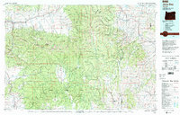
(9)- 1908 Map of Ironside Mountain
 1908 Ironside Mountain1908 Print · USGSEastern Oregon ranching and timber frontiers come alive in this survey of the Blue Mountains region at the turn of the century. Researchers can trace early family holdings like Tureman's Ranch and Hunter's Ranch, or locate the historic Otis Sawmill.2 unique versions available
 - 1955 Map of Canyon City, 1966 Print
 1955 Canyon City1966 Print · USGSCentral Oregon's high desert and timber country are captured here in the mid-fifties, showing the rugged ranching and logging landscape. Trace the path of the Sumpter Valley Ry or locate remote settlements like Izee, Whitney, and Ritter.4 unique versions available
 - 1959 Map of Canyon City
 1959 Canyon City1959 Print · USGSEastern Oregon in the late fifties was a landscape of high timber and remote river valleys shaped by the cattle and mining trades. Genealogists and historians can trace the paths of the Sumpter Valley RR and find early settlements like Antone, Richmond, and Dayville.2 unique versions available
 - 1972 Map of Hereford, 1975 Print
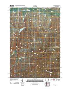
 1972 Hereford1975 Print · USGSThe Burnt River Valley in the early 1970s shows a landscape of ranching and water management near the Baker County line. Researchers can trace historic upland routes like the Happy Camp Trail or locate remote landmarks including Higgins Reservoir and Hamer Spring.
 - 1978 Map of John Day, 1997 Print
 1978 John Day1997 Print · USGSEastern Oregon in the late 1970s shows a landscape defined by timber, mining, and high-desert hydrology. Researchers can trace the legacy of the Standard Mine, the route of the Oregon and Northwestern Railroad, and the remote outposts of Seneca and Prairie City.2 unique versions available
 - 2011 Map of Hereford, 2011 Print
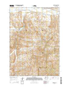
 2011 Hereford2011 Print · USGSCovers Hereford, including Malheur County, Baker County, and other nearby areas
 - 2014 Map of Hereford, 2014 Print
 2014 Hereford2014 Print · USGSCovers Hereford, including Malheur County, Baker County, and other nearby areas
 - 2017 Map of Hereford, 2017 Print
 2017 Hereford2017 Print · USGSCovers Hereford, including Malheur County, Baker County, and other nearby areas
 - 2023 Map of Hereford, 2023 Print
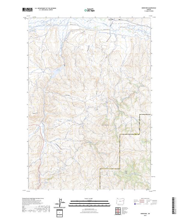 2023 Hereford2023 Print · USGSThe community of Hereford and the Burnt River Valley are depicted here in the early twenty-first century, showing a landscape shaped by high-desert ranching. Researchers can locate family burial sites like Boyer Family Cem and trace historic irrigation lines such as Packwood Ditch and Eldorado Ditch.
End of results
Showing maps 1-9 of 9
Top cities near Hereford
Frequently asked questions
- What are the different types of historical maps available for Hereford?
- What is the oldest map of Hereford?
- Where can I purchase historical maps of Hereford for my home or office?
- Where can I download high-res historical maps of Hereford?
- Are there historical topographic maps available for Hereford?
- Is there historical aerial imagery available for Hereford?
- Where are historical maps of Hereford sourced from?