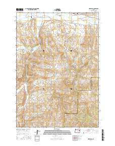
2017 Map of Hereford
USGS Topo · Published 2017About this map
Hereford occupies a central position along the Burnt River in this part of Baker County, where the high-desert landscape is defined by an intricate network of irrigation channels. To the north, the Burnt River Valley is served by the Packwood Ditch, Colt Ware Ditch, and High Line Ditch, illustrating the area's long-standing dependence on water management for ranching and agriculture. The terrain rises sharply toward the south and west, culminating in landmarks such as Murray Peak and Rock Creek Butte. For those researching local pioneers, the map identifies small, family-associated burial sites including the Boyer Family Cem and the Aunt Polly Cem. The presence of the Eldorado Ditch and numerous springs like Hamer Spring further emphasizes the hydraulic engineering required to sustain life and industry in these arid uplands.
Find a feature on this map
39 named features on this map. Tap any name to fly to it.
Don’t see what you’re looking for? This feature index may not catch every label — zoom into the map to look around manually.
Map Details
Editions of this 2017 Hereford Map
This is the sole edition of this map. No revisions or reprints were ever made.
Other maps of this area

1901 · Baker City
USGS Topo · 1:125,000

1901 · Sumpter
USGS Topo · 1:125,000

1908 · Ironside Mountain
USGS Topo · 1:125,000

1955 · Baker
USGS Topo · 1:250,000

1955 · Canyon City
USGS Topo · 1:250,000

1959 · Baker
USGS Topo · 1:250,000

1959 · Canyon City
USGS Topo · 1:250,000

1964 · Ironside
USGS Topo · 1:62,500
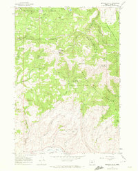
1967 · Brannan Gulch
USGS Topo · 1:24,000
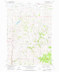
1972 · Hereford
USGS Topo · 1:24,000