Old Maps of Pine Creek, Oregon
Explore 10 old maps of Pine Creek, spanning from 1955 to today. These high-resolution historic maps reveal how streets, neighborhoods, landmarks, and natural features evolved over time — perfect for genealogy, metal detecting, research, and local history exploration.
What you can do with these maps:
- See how Pine Creek changed over time: Compare historical maps to modern-day views to trace roads, homesites, rail lines & more.
- View detailed metadata: Each map includes creators, publishers, year, scale, and archive source.
- Overlay maps with satellite & LiDAR: Visualize the past alongside modern tools to explore terrain & human change.
- Trusted historical sources: Maps sourced from the USGS, Library of Congress, and other archives.
- Access maps your way: View online, download high-res files, or order prints for personal or research use.
Start exploring old maps of Pine Creek to uncover forgotten places, hidden landmarks, and the deep history beneath your feet.
Pine Creek, OR maps
(10)- 1955 Map of Baker, 1964 Print
 1955 Baker1964 Print · USGSThe Oregon-Idaho borderlands are captured here in the mid-fifties as the Snake River underwent massive changes from dam construction. Trace the Oregon Trail Memorial Monument near Baker, find early mines like Virtue Mine, and follow the Union Pacific Railroad through Huntington.4 unique versions available
 - 1957 Map of Copperfield, 1958 Print
 1957 Copperfield1958 Print · USGSThe Snake River canyon was on the verge of total transformation in the late fifties as hydroelectric projects began to reshape the Idaho-Oregon border. Researchers can trace the original river course and landmarks like Brownlee Dam, Copperfield, and the Oxbow Sch before water levels rose.3 unique versions available
 - 1959 Map of Baker
 1959 Baker1959 Print · USGSThe Oregon and Idaho borderlands come alive in the late fifties, showing the rugged corridor along the Snake River and the high peaks of the Wallowa Mountains. Researchers can trace the legacy of the Union Pacific railroad or locate historic mining sites like the Flagstaff Mine and Virtue Mine.2 unique versions available
 - 1980 Map of McCall, 1993 Print
 1980 McCall1993 Print · USGSThe high timber country and glacial lakes of the West Mountains are documented here in the early eighties. Genealogists and local historians can trace the Union Pacific rail line and family-linked sites like Roseberry, Starkey, and the North Hornet Mine.2 unique versions available
 - 1987 Map of Mc Lain Gulch
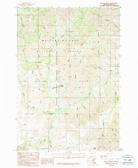 1987 Mc Lain Gulch1987 Print · USGSThe Baker County high country in the 1980s is captured here at the intersection of the Hells Canyon National Recreation Area and national forest lands. Researchers can trace remote landmarks like Roadside Park, Gregg Spring, and the Gravel Pit along the steep gulches.
 - 2011 Map of McLain Gulch, 2011 Print
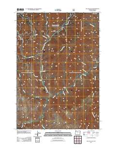 2011 McLain Gulch2011 Print · USGSThe Pine Creek drainage in Baker County appears here in the early twenty-first century, showing the intricate network of forest roads and watercourses. Researchers can locate remote high-country features like Grouse Flat, Plummer Gulch, and the North Pine Rest Area.
 - 2014 Map of McLain Gulch, 2014 Print
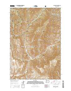 2014 McLain Gulch2014 Print · USGSNortheastern Oregon's high-country terrain is documented here in the early twenty-first century as the landscape transitions into the Wallowas. Researchers can trace historic access routes like the Baker-Copperfield Hwy or locate family-named landmarks such as McLain Gulch, Plummer Gulch, and Gregg Spring.
 - 2017 Map of McLain Gulch, 2017 Print
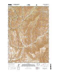 2017 McLain Gulch2017 Print · USGSNortheastern Oregon's backcountry is charted in this recent topographical study of Baker County. Researchers can trace the drainages of Pine Creek and identify landmarks like Grouse Flat and McLain Gulch within the Whitman National Forest.
 - 2020 Map of McLain Gulch, 2020 Print
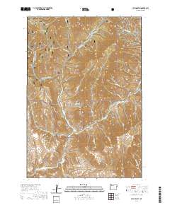 2020 McLain Gulch2020 Print · USGSBaker County's high forest and steep drainages are documented here in the early twenty-first century. You can trace the winter corridors of the Wallowa Mtn Loop Snowmobile and locate backcountry points like Gregg Spring and Grouse Flat.
 - 2023 Map of McLain Gulch, 2023 Print
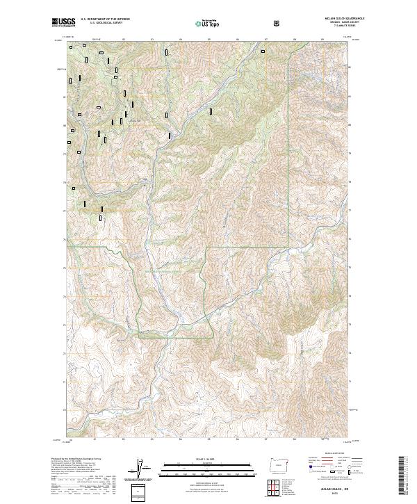 2023 McLain Gulch2023 Print · USGSBaker County's high country is captured here in the 2020s, showing a landscape defined by forest management and winter recreation. Trace the steep topography of McLain Gulch or follow the Wallowa Mtn Loop-Snowmobile Trl across Grouse Flat.
End of results
Showing maps 1-10 of 10
Top cities near Pine Creek
Frequently asked questions
- What are the different types of historical maps available for Pine Creek?
- What is the oldest map of Pine Creek?
- Where can I purchase historical maps of Pine Creek for my home or office?
- Where can I download high-res historical maps of Pine Creek?
- Are there historical topographic maps available for Pine Creek?
- Is there historical aerial imagery available for Pine Creek?
- Where are historical maps of Pine Creek sourced from?