
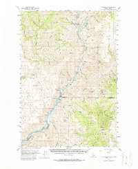
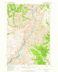
1957 Map of Copperfield
USGS Topo · Published 1958About this map
Brownlee Dam and its impending impact on the river canyon define this mid-century survey along the border of Idaho and Oregon. Blue hatching indicates the specific areas of the Snake River canyon slated to be submerged as the dam reached its spillway elevation, a transformation that would soon alter the landscape near The Oxbow. This era of hydroelectric development is documented alongside rural infrastructure including the Oxbow Sch and Brownlee Sch, as well as a Microwave Relay Station on the high ridges.
Find a feature on this map
72 named features on this map. Tap any name to fly to it.
Don’t see what you’re looking for? This feature index may not catch every label — zoom into the map to look around manually.
Map Details
Editions of this 1957 Copperfield Map
3 editions found
Other maps of this area

1915 · Pine
USGS Topo · 1:125,000

1920 · Seven Devils Mining District
USGS Topo · 1:48,000

1954 · Cornucopia
USGS Topo · 1:62,500

1955 · Baker
USGS Topo · 1:250,000

1955 · Grangeville
USGS Topo · 1:250,000

1957 · Halfway
USGS Topo · 1:62,500

1957 · Cambridge
USGS Topo · 1:62,500

1957 · Cuprum
USGS Topo · 1:62,500

1957 · Homestead
USGS Topo · 1:62,500

1957 · Hornet
USGS Topo · 1:62,500