
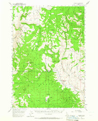
1957 Map of Hornet
USGS Topo · Published 1958About this map
Payette National Forest dominates this mid-century landscape where Adams and Washington counties meet. The survey reveals a region defined by high-altitude industry and fire watch efforts, evidenced by the North Hornet Mine and the Crooked River Lookout atop a 6,929-foot peak. Early settlement markers are becoming artifacts of the past by the 1950s, with both the Upper Dale School and Ridge Sch marked as abandoned along the Hornet Creek corridor.
Find a feature on this map
82 named features on this map. Tap any name to fly to it.
Don’t see what you’re looking for? This feature index may not catch every label — zoom into the map to look around manually.
Map Details
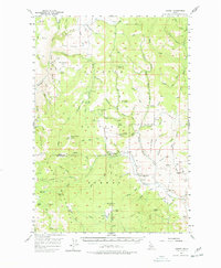
Editions of this 1957 Hornet Map
3 editions found
Other maps of this area

1911 · Meadows
USGS Topo · 1:125,000

1920 · Seven Devils Mining District
USGS Topo · 1:48,000

1938 · Riggins
USGS Topo · 1:96,000

1945 · Riggins
USGS Topo · 1:125,000

1954 · Council
USGS Topo · 1:62,500

1954 · New Meadows
USGS Topo · 1:62,500

1955 · Baker
USGS Topo · 1:250,000

1955 · Grangeville
USGS Topo · 1:250,000

1957 · Cambridge
USGS Topo · 1:62,500

1957 · Cuprum
USGS Topo · 1:62,500