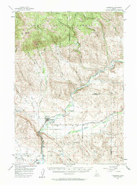
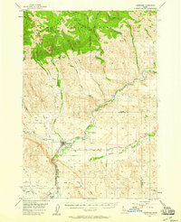
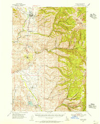
1957 Map of Cambridge
USGS Topo · Published 1958About this map
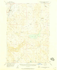
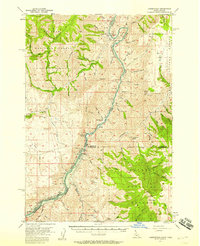
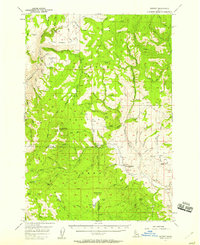
The Weiser River valley forms the backbone of this mid-century Idaho landscape, where the Union Pacific railroad parallels the water as it cuts through the foothills. The town of Cambridge serves as the primary hub, surrounded by smaller agrarian outposts like Middle Valley and Keithly. To the north, the terrain rises sharply into the Cuddy Mountains and the protected lands of the Payette National Forest, reaching heights at Rush Peak. This 1957 survey captures a specific era of rural infrastructure, noting a Grange Hall near Shoe Peg Valley and several water management features like the Dixie Reservoirs. The presence of the Cove School (Aban'd) indicates shifts in the local school district patterns during the post-war years, as smaller rural schools were being consolidated or left behind for more central facilities in the valley floor.
Find a feature on this map
49 named features on this map. Tap any name to fly to it.
Don’t see what you’re looking for? This feature index may not catch every label — zoom into the map to look around manually.
Map Details
Editions of this 1957 Cambridge Map
2 editions found
Other maps of this area

1894 · Squaw Creek
USGS Topo · 1:125,000

1897 · Weiser
USGS Topo · 1:125,000

1911 · Meadows
USGS Topo · 1:125,000

1953 · Mann Creek
USGS Topo · 1:62,500
1954 · Council
USGS Topo · 1:62,500
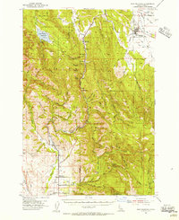
1954 · New Meadows
USGS Topo · 1:62,500

1955 · Baker
USGS Topo · 1:250,000
1957 · Crane Creek Reservoir
USGS Topo · 1:62,500
1957 · Copperfield
USGS Topo · 1:62,500
1957 · Hornet
USGS Topo · 1:62,500