
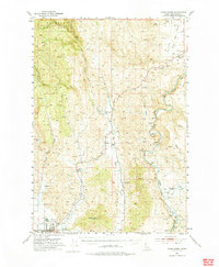
1953 Map of Mann Creek
USGS Topo · Published 1955About this map
Weiser serves as the focal point of this mid-century Idaho landscape, situated where the Weiser River meets the expansive agricultural lands of Washington County. The map documents a rural society in transition, evidenced by the numerous small education centers such as Sage Creek School and Saling Sch, alongside several schoolhouses already marked as abandoned, including Enterprise School and Echo Dell Sch.
Find a feature on this map
45 named features on this map. Tap any name to fly to it.
Don’t see what you’re looking for? This feature index may not catch every label — zoom into the map to look around manually.
Map Details
Editions of this 1953 Mann Creek Map
2 editions found
Other maps of this area

1897 · Weiser
USGS Topo · 1:125,000

1915 · Pine
USGS Topo · 1:125,000

1951 · Moores Hollow
USGS Topo · 1:24,000

1951 · Moores Hollow
USGS Topo · 1:62,500

1951 · Weiser South
USGS Topo · 1:24,000

1952 · Weiser Cove
USGS Topo · 1:24,000

1952 · Olds Ferry
USGS Topo · 1:62,500

1952 · Olds Ferry SE
USGS Topo · 1:24,000

1955 · Baker
USGS Topo · 1:250,000

1957 · Cambridge
USGS Topo · 1:62,500