
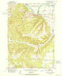
1952 Map of Olds Ferry SE
USGS Topo · Published 1976About this map
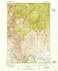
The Snake River defines the border between Idaho and Oregon in this 1950s survey, where the river's path shaped the agricultural and transport infrastructure of Washington County. Irrigation is central to the landscape, with the Galloway Canal, Scott Lateral, and Jenkins Canal drawing water toward the fertile Flat lands. The presence of the Union Pacific railroad and the Old Oregon Trail Highway underscores this area's role as a vital corridor for western movement and commerce.
Find a feature on this map
41 named features on this map. Tap any name to fly to it.
Don’t see what you’re looking for? This feature index may not catch every label — zoom into the map to look around manually.
Map Details
Editions of this 1952 Olds Ferry SE Map
This is the sole edition of this map. No revisions or reprints were ever made.
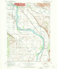
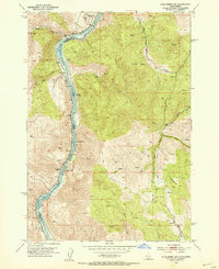
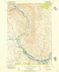
Other maps of this area

1897 · Weiser
USGS Topo · 1:125,000
1951 · Moores Hollow
USGS Topo · 1:24,000

1951 · Moores Hollow
USGS Topo · 1:62,500
1951 · Weiser South
USGS Topo · 1:24,000
1952 · Olds Ferry NW
USGS Topo · 1:24,000
1952 · Olds Ferry
USGS Topo · 1:24,000
1952 · Olds Ferry
USGS Topo · 1:62,500

1953 · Mann Creek
USGS Topo · 1:62,500

1955 · Baker
USGS Topo · 1:250,000

1959 · Baker
USGS Topo · 1:250,000