
1952 Map of Olds Ferry
USGS Topo · Published 1954About this map
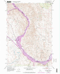
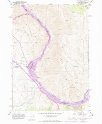
The Snake River carves a path through the borderlands between Idaho and Oregon, defining the rugged geography of the Slaughterhouse Range and Dead Indian Ridge. This early 1950s survey documents the deep historical layers of the river crossing, noting the Original Site Olds Ferry alongside a later Olds Ferry (Abandoned) location. The legacy of westward migration is prominent, with the Old Oregon Trail Highway and multiple Oregon Trail Mon points tracing the path of early pioneers. Industrial activity is visible in the operation of the Union Pacific railroad and a solitary Coal Mine tucked into the slopes of Indian Head Mtn. Downstream, the river landscape is punctuated by Huffman Island and Cobb Rapids near the small settlement of Darrows, while the Old Oregon Trail Highway skirts the river's Farewell Bend.
Find a feature on this map
35 named features on this map. Tap any name to fly to it.
Don’t see what you’re looking for? This feature index may not catch every label — zoom into the map to look around manually.
Map Details
Editions of this 1952 Olds Ferry Map
3 editions found
Other maps of this area

1950 · Jamieson
USGS Topo · 1:62,500

1951 · Moores Hollow
USGS Topo · 1:24,000

1951 · Moores Hollow
USGS Topo · 1:62,500

1951 · Huntington
USGS Topo · 1:62,500

1952 · Olds Ferry NW
USGS Topo · 1:24,000

1952 · Olds Ferry
USGS Topo · 1:62,500

1952 · Olds Ferry SE
USGS Topo · 1:24,000

1955 · Baker
USGS Topo · 1:250,000

1959 · Baker
USGS Topo · 1:250,000
1974 · Olds Ferry SE
USGS Topo · 1:24,000