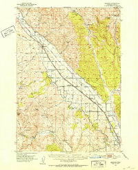
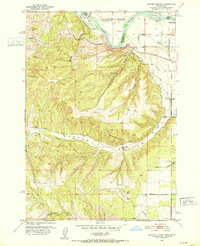
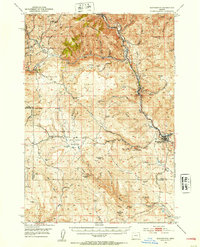
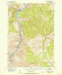
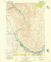
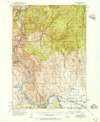
1952 Map of Olds Ferry
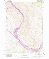
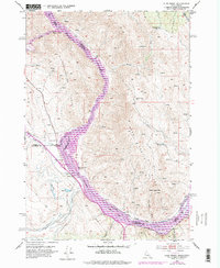
USGS Topo · Published 1978About this map
The Snake River carves through this borderland of Idaho and Oregon, defining the boundary between Washington, Baker, and Malheur counties. This area is characterized by high ridges like Slaughterhouse Range and Dead Indian Ridge, which overlook the rising waters of the Brownlee Reservoir. The legacy of western migration is evident in the path of the Oregon Trail Highway and several Oregon Trail Mon markers found along the river's western bank.
Find a feature on this map
35 named features on this map. Tap any name to fly to it.
Don’t see what you’re looking for? This feature index may not catch every label — zoom into the map to look around manually.
Map Details
Editions of this 1952 Olds Ferry Map
3 editions found
Other maps of this area
1950 · Jamieson
USGS Topo · 1:62,500
1951 · Moores Hollow
USGS Topo · 1:24,000

1951 · Moores Hollow
USGS Topo · 1:62,500
1951 · Huntington
USGS Topo · 1:62,500
1952 · Olds Ferry NW
USGS Topo · 1:24,000
1952 · Olds Ferry
USGS Topo · 1:24,000
1952 · Olds Ferry
USGS Topo · 1:62,500

1952 · Olds Ferry SE
USGS Topo · 1:24,000

1955 · Baker
USGS Topo · 1:250,000

1959 · Baker
USGS Topo · 1:250,000