
1951 Map of Moores Hollow
USGS Topo · Published 1953About this map
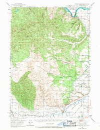
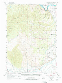
The confluence of the Snake River and Malheur River defines this high desert landscape along the border between Oregon and Idaho. In the early 1950s, the region's agricultural dependency is clearly visible through the extensive network of irrigation infrastructure, including the Owyhee Canal and the Moores Hollow Ditch. This water system supports the concentrated settlements at Annex and Ontario Heights, where community life centers on the Ontario Heights Church and the Ontario Heights Grange. The mapping captures a pivotal moment of transition, showing the historic path of the Oregon Trail alongside modern developments like the Ontario Airport and the Union Pacific railroad line. To the west, the terrain rises into the sagebrush-covered slopes of Tub Mountain and Pine Tree Ridge, broken by named landmarks like Malheur Butte and the broad expanse of the Alkali Flats.
Find a feature on this map
44 named features on this map. Tap any name to fly to it.
Don’t see what you’re looking for? This feature index may not catch every label — zoom into the map to look around manually.
Map Details
Editions of this 1951 Moores Hollow Map
3 editions found
Other maps of this area

1897 · Weiser
USGS Topo · 1:125,000

1898 · Nampa
USGS Topo · 1:125,000

1906 · Mitchell Butte
USGS Topo · 1:125,000

1950 · Jamieson
USGS Topo · 1:62,500

1951 · Moores Hollow
USGS Topo · 1:24,000

1951 · Malheur Butte
USGS Topo · 1:24,000

1951 · Payette
USGS Topo · 1:24,000

1951 · Huntington
USGS Topo · 1:62,500

1951 · Weiser South
USGS Topo · 1:24,000

1952 · Olds Ferry
USGS Topo · 1:24,000