
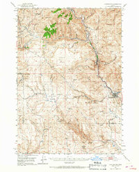
1951 Map of Huntington
USGS Topo · Published 1953About this map
Huntington stands as a vital railroad junction in this mid-century portrait of eastern Oregon, where the Union Pacific line follows the winding course of the Burnt River. This rugged corridor is thick with markers of the region's pioneering and industrial heritage, from the Oregon Trail Mon near Lime to the scattered Placer Mines found along Dixie Creek and the Burnt River. The landscape is defined by significant elevations such as Weatherby Mtn and Lost Tom Mtn, while the interior valleys like Rye Valley and Little Valley are threaded with numerous springs including Cottonwood Spring and Miller Spring. Evidence of the era's infrastructure is visible in features like the Airway Beacon and the engineering of the Shoestring Grade. This survey captures the transition from historic gold-seeking geography to a modernizing transport and mining hub near the state line.
Find a feature on this map
53 named features on this map. Tap any name to fly to it.
Don’t see what you’re looking for? This feature index may not catch every label — zoom into the map to look around manually.
Map Details
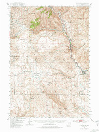
Editions of this 1951 Huntington Map
3 editions found
Other maps of this area

1901 · Baker City
USGS Topo · 1:125,000

1915 · Pine
USGS Topo · 1:125,000

1950 · Jamieson
USGS Topo · 1:62,500

1951 · Moores Hollow
USGS Topo · 1:62,500

1952 · Olds Ferry NW
USGS Topo · 1:24,000

1952 · Olds Ferry
USGS Topo · 1:24,000

1952 · Olds Ferry
USGS Topo · 1:62,500

1955 · Baker
USGS Topo · 1:250,000

1957 · Durkee
USGS Topo · 1:62,500

1957 · Mineral
USGS Topo · 1:62,500