
1952 Map of Weiser Cove
USGS Topo · Published 1953About this map
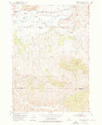
The Weiser River valley dominates this 1952 topographic study, showcasing a complex network of irrigation infrastructure essential to the region's agricultural development. Multiple water systems, including the Galloway Canal, Sunnyside Canal, and Union Pacific Canal, parallel the river and wind through the terrain of Weiser Cove. These engineering features highlight the intensive effort to manage water resources in the arid landscape of the Washington and Payette county border.
Find a feature on this map
18 named features on this map. Tap any name to fly to it.
Don’t see what you’re looking for? This feature index may not catch every label — zoom into the map to look around manually.
Map Details
Editions of this 1952 Weiser Cove Map
2 editions found
Other maps of this area

1897 · Weiser
USGS Topo · 1:125,000

1951 · Payette
USGS Topo · 1:24,000

1951 · Weiser South
USGS Topo · 1:24,000

1952 · Birding Island
USGS Topo · 1:24,000

1953 · Mann Creek
USGS Topo · 1:62,500

1955 · Baker
USGS Topo · 1:250,000

1957 · Crane Creek Reservoir
USGS Topo · 1:62,500

1959 · Baker
USGS Topo · 1:250,000
1970 · Sheep Ridge
USGS Topo · 1:24,000
1970 · Holland Gulch
USGS Topo · 1:24,000